
Barnet in Caledonia County, Vermont — The American Northeast (New England)
Moore Round Barn
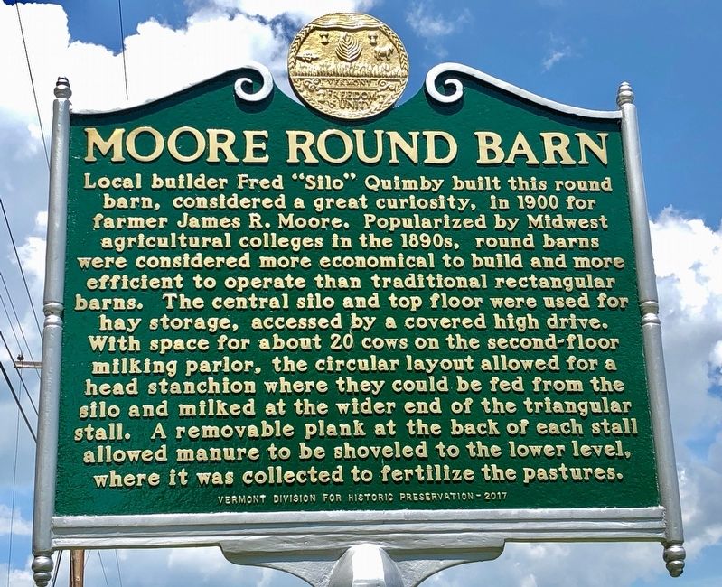
Photographed by Dennis Gilkenson, June 28, 2019
1. Moore Round Barn Marker
Erected 2017 by Vermont Division for Historical Preservation.
Topics and series. This historical marker is listed in these topic lists: Agriculture • Architecture. In addition, it is included in the Vermont Division for Historic Preservation Markers series list. A significant historical year for this entry is 1900.
Location. 44° 20.581′ N, 72° 2.604′ W. Marker is in Barnet,
this page online

Regionally, this marker is in Vermont’s Connecticut River Valley, in the Green Mountains, and in the Northeast Kingdom. It is also in the American Northeast and in New England. Globally, it is in North America, the Great North Woods, the Western Hemisphere, the Western World, and the Anglosphere.
Other nearby markers. At least 8 other markers are within 6 miles of this marker, measured as the crow flies: Passumpsic Veterans Memorial (approx. 2.4 miles away); The Comerford Development at Fifteen Mile Falls (approx. 2½ miles away); Henry Stevens / Henry Stevens, Jr. (approx. 3.2 miles away); Ben's Mill (approx. 3½ miles away); Site of Camp Baxter (approx. 4.3 miles away); Greenbank's Hollow (approx. 4.6 miles away); St. Johnsbury Trade School (approx. 5.2 miles away); First American Platform Scale (approx. 5.2 miles away). Touch for a list and map of all markers in Barnet.
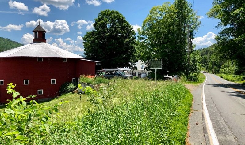
Photographed by Dennis Gilkenson, June 28, 2019
2. Wide View of Moore Round Barn
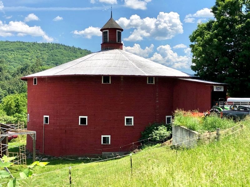
Photographed by Dennis Gilkenson, June 28, 2019
3. Moore Round Barn Marker
Credits. This page was last revised on July 3, 2019. It was originally submitted on July 1, 2019, by Dennis Gilkenson of Saxtons River, Vermont. This page has been viewed 1,137 times since then and 58 times this year. Photos: 1, 2, 3. submitted on July 1, 2019, by Dennis Gilkenson of Saxtons River, Vermont. • Andrew Ruppenstein was the editor who published this page.
