Hardwick in Caledonia County, Vermont — The American Northeast (New England)
Camp Wapanacki
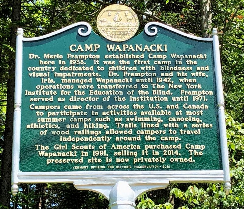
Photographed by Dennis Gilkenson, June 28, 2019
1. Camp Wapanacki Marker
Erected 2018 by Vermont Division for Historic Preservation.
Topics and series. This historical marker is listed in these topic lists: Charity & Public Work • Entertainment • Parks & Recreational Areas. In addition, it is included in the Vermont Division for Historic Preservation Markers series list. A significant historical year for this entry is 1938.
Location. 44° 33.457′ N, 72° 23.686′ W.
this page online

Regionally, this marker is in Vermont’s Connecticut River Valley, in the Green Mountains, and in the Northeast Kingdom. It is also in the American Northeast and in New England. Globally, it is in North America, the Great North Woods, the Western Hemisphere, the Western World, and the Anglosphere. Historically, it finds itself in what was once the Vermont Republic.
Other nearby markers. At least 8 other markers are within 10 miles of this marker, measured as the crow flies: Fisher Bridge (approx. 2.4 miles away); Reverend George S. Brown (approx. 3.4 miles away); Hinman Settler Road (approx. 4.4 miles away); Sterling College (approx. 6.6 miles away); The Soldier's Monument & War Memorial / The Civil War Cannon (approx. 9.9 miles away); Morristown Centennial Library / #2 Dappled Canopy (approx. 9.9 miles away);
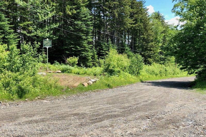
Photographed by Dennis Gilkenson, June 28, 2019
2. Wide View of Camp Wapanacki Marker
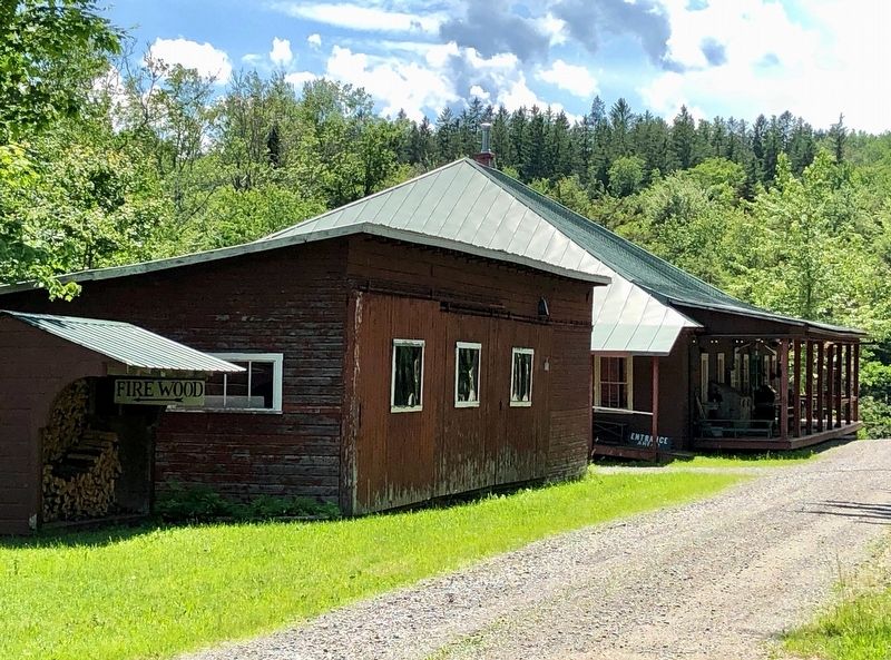
Photographed by Dennis Gilkenson, June 28, 2019
3. Camp Wapanacki Building
Credits. This page was last revised on July 3, 2019. It was originally submitted on July 1, 2019, by Dennis Gilkenson of Saxtons River, Vermont. This page has been viewed 819 times since then and 57 times this year. Photos: 1, 2, 3. submitted on July 1, 2019, by Dennis Gilkenson of Saxtons River, Vermont. • Andrew Ruppenstein was the editor who published this page.
