Sanders in Carroll County, Kentucky — The American South (East South Central)
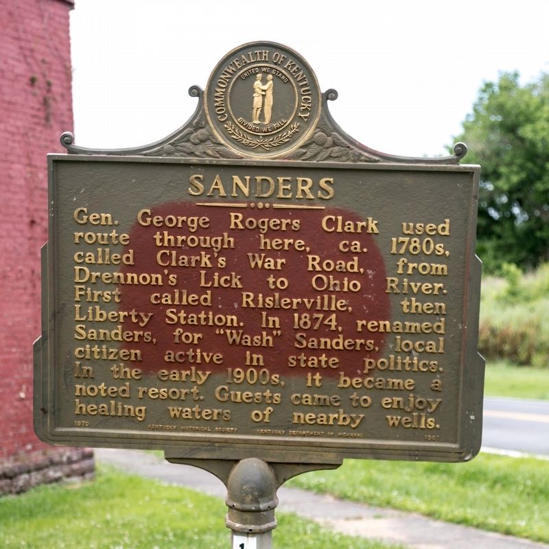
Sanders
Erected 1970 by Kentucky Historical Society and Kentucky Department of Highways. (Marker Number 1361.)
Topics and series. This historical marker is listed in these topic lists: Notable Places • Roads & Vehicles. In addition, it is included in the Kentucky Historical Society series list. A significant historical year for this entry is 1874.
Location. 38° 39.345′ N, 84° 56.763′ W. Marker is in Sanders, Kentucky, in Carroll County. Marker is at the intersection of Kentucky Route 467 and Pike Street (Route 36), on the right when traveling east on State Route 467. This intersection is also the southern terminus of Kentucky Route 47. Touch for map. Marker is in this post office area: Sanders KY 41083, United States of America. Touch for directions.
Other nearby markers. At least 8 other markers are within 9 miles of this marker, measured as the crow flies. Old New Liberty / New Liberty, Contd. (approx. 3˝ miles away); Grass Hills (approx. 3.8 miles away); First Rural Electric In County (approx. 5˝ miles away); Ghent (approx. 8.4 miles away); James Tandy Ellis (approx. 8.4 miles away); Switzerland Wine County – Winemaking in Vevay (approx. 8.9 miles away in Indiana); St. Joseph Church (approx. 9 miles away); Haymond House (approx. 9 miles away).
Also see . . . Wikipedia Entry.
The community was founded at a salt lick on the Buffalo Trace stretching from the Licking River to Drennon Springs. The community was first known as Rislerville for a local shopkeeper, but was known as Sanders' Mill after the local miller Nathaniel Sanders opened a post office in 1816. His son George Washington Sanders continued to operate the mill after his death.(Submitted on July 2, 2019.)
When the community was connected to the Louisville, Cincinnati and Lexington Railroad in 1867, the station was first named Dixie by the locals but then changed to Liberty Station by the railroad, owing to the importance of the station’s trade with nearby New Liberty. The name reverted to Sanders in 1874, according to local historian Anna Parker, owing to the influence of State Senator Larkin Sanders, who wanted to honor his father
Credits. This page was last revised on July 2, 2019. It was originally submitted on July 2, 2019, by J. J. Prats of Powell, Ohio. This page has been viewed 308 times since then and 40 times this year. Photos: 1, 2. submitted on July 2, 2019, by J. J. Prats of Powell, Ohio.

