Georgetown in Grant Parish, Louisiana — The American South (West South Central)
Nightriders
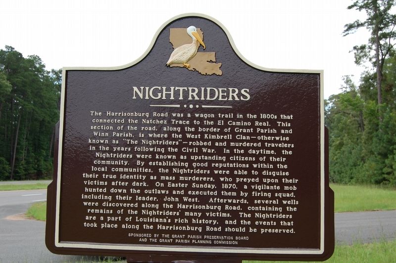
The Harrisonburg Road was a wagon trail in the 1800s that connected the Natchez Trace to the El Camino Real. This section of the road, along the border of Grant Parish and Winn Parish, is where the West Kimbrell Clan - otherwise known as "The Nightriders" - robbed and murdered travelers in the years following the Civil War. In the daytime, the Nightriders were known as upstanding citizens of their local community. By establishing good reputations within the local communities, the Nightriders were able to disguise their true identity as mass murderers, who preyed upon their victims after dark. On Easter Sunday, 1870, a vigilante mob hunted down the outlaws and executed them by firing squad, including their leader, John West. Afterwards, several wells were discovered along the Harrisonburg Road, containing the remains of the Nightriders' many victims. The Nightriders are a part of Louisiana's rich history, and the events that took place along the Harrisonburg Road should be preserved.
Erected by The Grant Parish Preservation Board and The Grant Parish Planning Commission.
Topics and series. This historical marker is listed in these topic lists: Law Enforcement • Roads & Vehicles. In addition, it is included in the El Camino Real de los Tejas National Historic Trail series list.
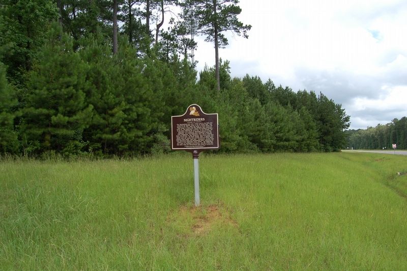
Location. 31° 47.797′ N, 92° 34.782′ W. Marker is in Georgetown, Louisiana, in Grant Parish. Marker is at the intersection of U.S. 167 and State Highway 500, on the right when traveling south on U.S. 167. Touch for map. Marker is in this post office area: Georgetown LA 71432, United States of America. Touch for directions.
Other nearby markers. At least 8 other markers are within 10 miles of this marker, measured as the crow flies. William Edenborn (approx. 9.1 miles away); Long Home Site (approx. 9˝ miles away); Earl Kemp Long (approx. 9.6 miles away); Long-Tison (approx. 9.6 miles away); Bank of Winnfield & Law Office of Huey P. Long (approx. 9.6 miles away); Bernstein Building (approx. 9.6 miles away); Huey Pierce Long (approx. 9.6 miles away); First United Methodist Church (approx. 9.7 miles away).
Credits. This page was last revised on May 28, 2023. It was originally submitted on July 2, 2019, by Cajun Scrambler of Assumption, Louisiana. This page has been viewed 1,551 times since then and 275 times this year. Photos: 1, 2. submitted on July 2, 2019.

