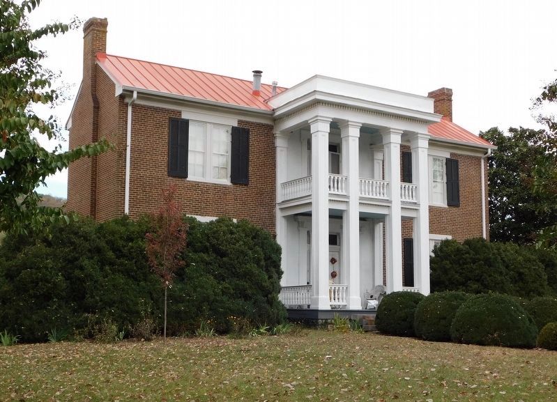
Franklin in Williamson County, Tennessee — The American South (East South Central)
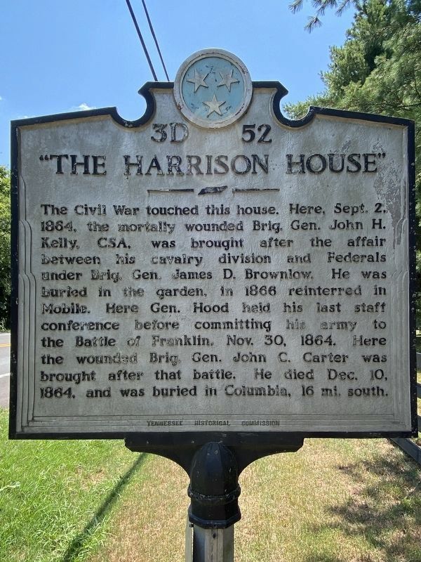
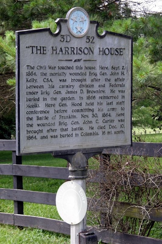
"The Harrison House"
Erected by Tennessee Historical Commission. (Marker Number 3D 52.)
Topics. This historical marker is listed in this topic list: War, US Civil. A significant historical date for this entry is September 2, 1864.
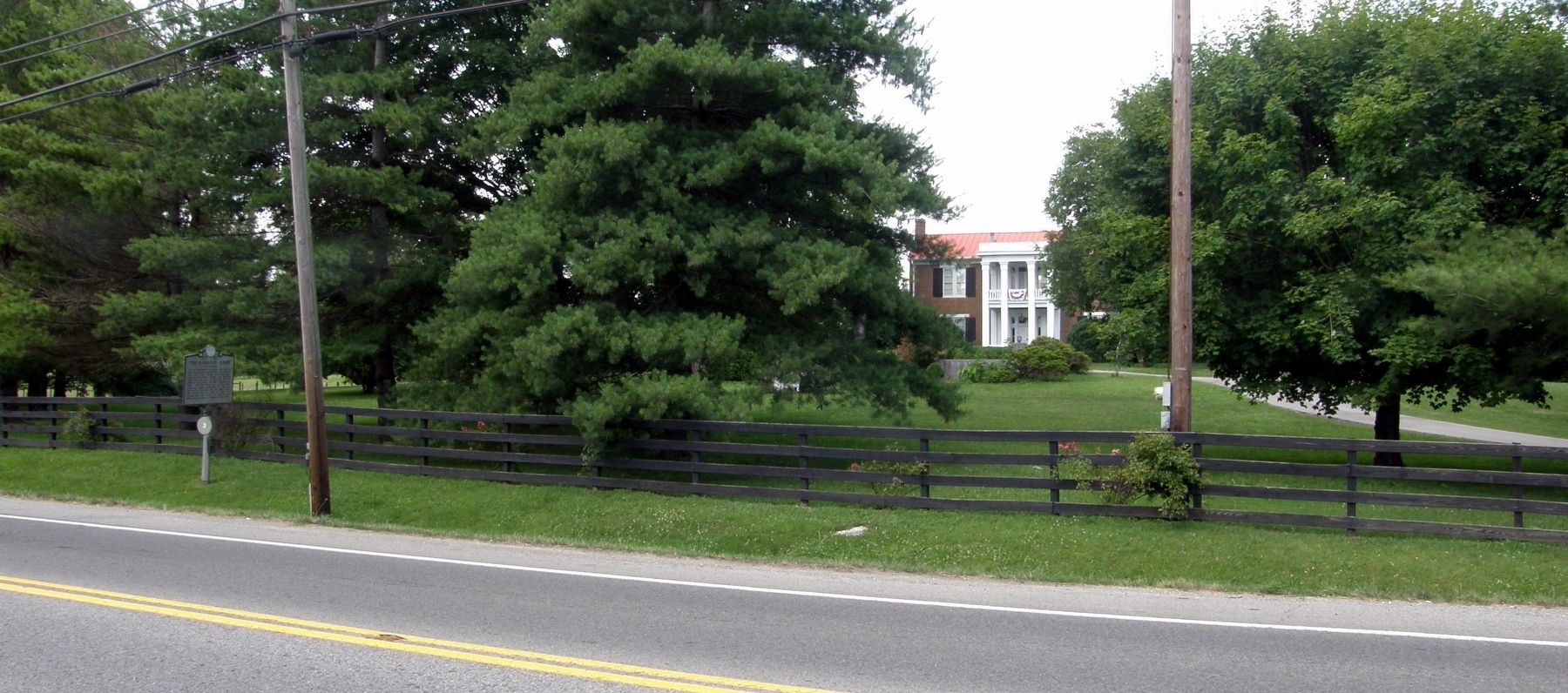
Location. 35° 52.894′ N, 86° 52.815′ W. Marker is in Franklin, Tennessee, in Williamson County. Marker is on Columbia Pike (Tennessee Route 6) 0.7 miles south of Mack C Hatcher Memorial Parkway (U.S. 31), on the right when traveling south. Touch for map. Marker is at or near this postal address: 4081 Columbia Avenue, Franklin TN 37064, United States of America. Touch for directions.
Other nearby markers. At least 8 other markers are within walking distance of this marker. Alabama (approx. half a mile away); Arkansas (approx. half a mile away); Cockrell's Missouri Brigade CSA (approx. half a mile away); Battle of Franklin (approx. half a mile away); The Confederate Soldier (approx. half a mile away); Tennessee (approx. half a mile away); Major General Patrick R. Cleburne CSA (approx. half a mile away); Winstead Hill Observation Post (approx. half a mile away). Touch for a list and map of all markers in Franklin.
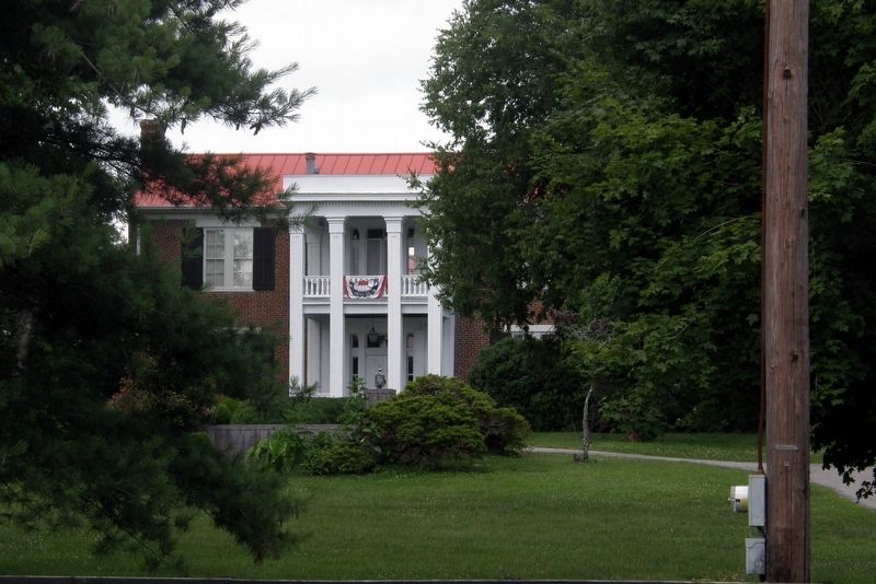
Regarding "The Harrison House". The Harrison House was the site of the council of war prior to the Battle of Franklin, when Lieutenant General John Bell Hood decided to order an attack on the Federal defenses surrounding the town.
Credits. This page was last revised on December 12, 2022. It was originally submitted on July 4, 2019, by Larry Gertner of New York, New York. This page has been viewed 998 times since then and 84 times this year. Photos: 1. submitted on July 23, 2022, by Darren Jefferson Clay of Duluth, Georgia. 2, 3, 4. submitted on July 4, 2019, by Larry Gertner of New York, New York. 5. submitted on December 11, 2022, by Bradley Owen of Morgantown, West Virginia. • Bernard Fisher was the editor who published this page.
