Near Willard in Box Elder County, Utah — The American Mountains (Southwest)
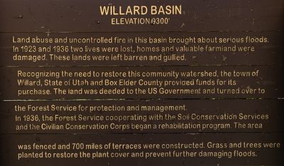
Willard Basin
Elevation 9300’
Photographed by Andrew Johnson, July 7, 2019
1. Willard Basin Marker
Recognizing the need to restore this community watershed, the town of Willard, State of Utah and Box Elder County provided funds for its purchase. The land was deeded to the US Government and turned over to the Forest Service for protection and management.
In 1936, the Forest Service cooperating with the Soil Conservation Services and the Civilian Conservation Corps began a rehabilitation program. The area was fenced and 700 miles of terraces were constructed. Grass and trees were planted to restore the plant cover and prevent further damaging floods.
Topics. This historical marker is listed in these topic lists: Disasters • Environment • Horticulture & Forestry. A significant historical year for this entry is 1923.
Location. 41° 24.66′ N, 111° 58.14′ W. Marker is near Willard, Utah, in Box Elder County. It can be reached from Willard Peak Road (Forest Road 84), on the right when traveling south. Touch for map.
this page online

Regionally, this marker is in the Cache Valley and in the West Desert. It is also in the American Mountain West and on the Colorado Plateau. Globally, it is in North America, the Rocky Mountains, the Western Hemisphere, the Western World, and the Anglosphere. Historically, it finds itself in what was once New Spain and also Mexico’s Alta California.
Other nearby markers. At least 8 other markers are within 7 miles of this marker, measured as the crow flies: Willard Pioneer Cemetery (approx. 3½ miles away); North Willow Creek Fort (approx. 3.6 miles away); Willard Central School Bell (approx. 3.6 miles away); Three Mile Creek Settlement (approx. 4.8 miles away); Peter Skene Ogden (approx. 6.1 miles away); Bushnell Hospital / Intermountain Indian School (approx. 6.2 miles away); Pioneer Care Center (approx. 6.4 miles away); Stage Coach Station (approx. 6.4 miles away). Touch for a list and map of all markers in Willard.
Photographed by Andrew Johnson, July 7, 2019
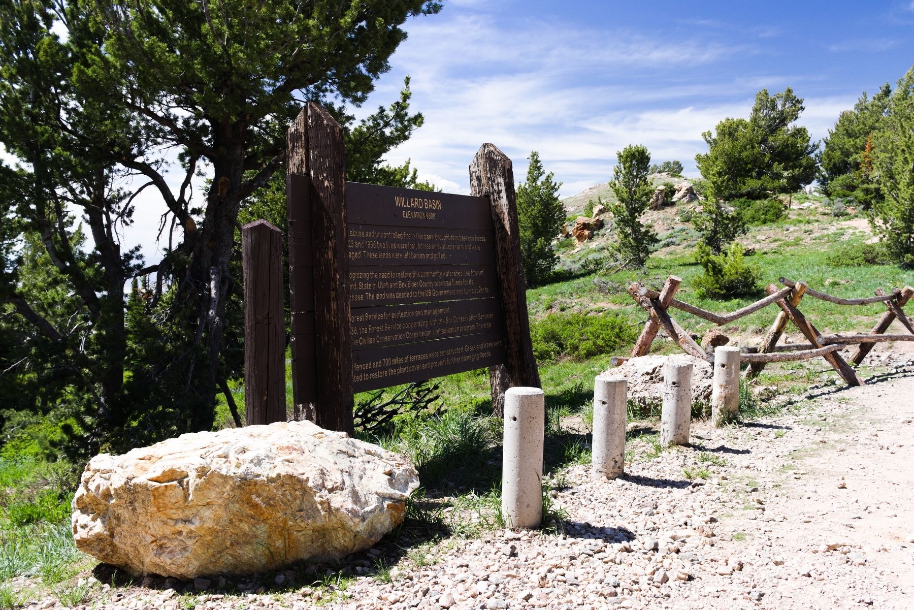
2. Willard Basin Marker
Credits. This page was last revised on July 9, 2019. It was originally submitted on July 8, 2019, by Andrew Johnson of Salt Lake City, Utah. This page has been viewed 614 times since then and 51 times this year. Photos: 1, 2. submitted on July 8, 2019, by Andrew Johnson of Salt Lake City, Utah. • Bill Pfingsten was the editor who published this page.
