Near Smithland in Livingston County, Kentucky — The American South (East South Central)
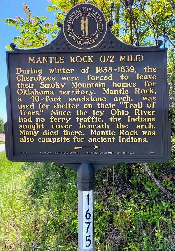
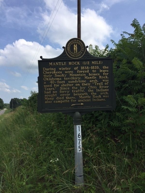
Mantle Rock (1/2 Mile)
Erected by Kentucky Historical Society, Kentucky Department of Highways. (Marker Number 1675.)
Topics and series. This historical marker is listed in this topic list: Native Americans. In addition, it is included in the Kentucky Historical Society series list. A significant historical year for this entry is 1838.
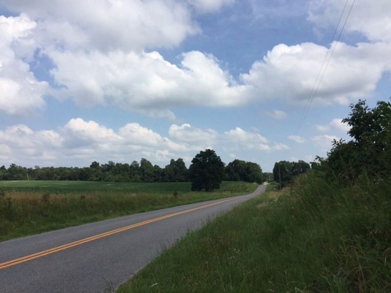
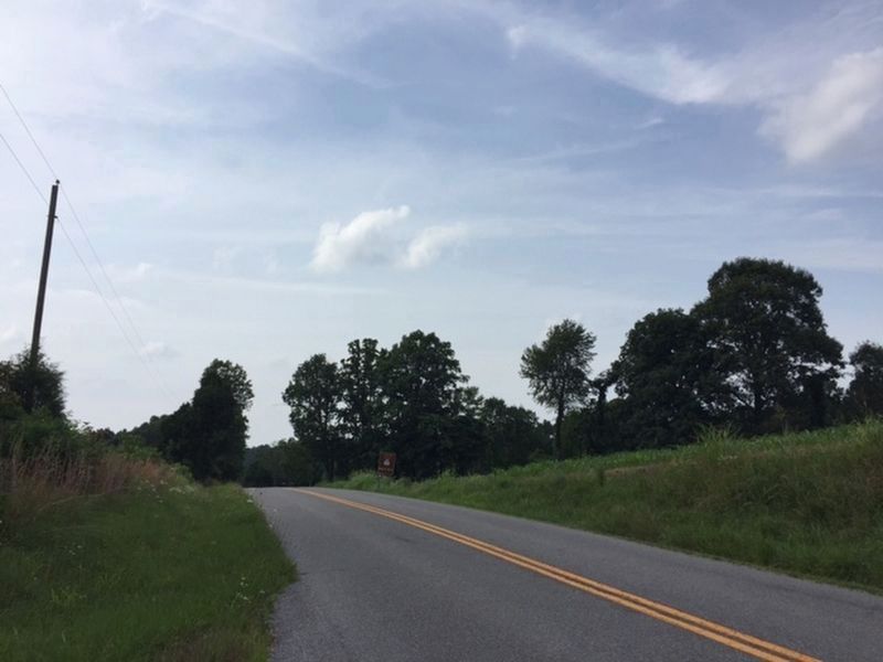
Location. 37° 21.631′ N, 88° 25.378′ W. Marker is near Smithland, Kentucky, in Livingston County. Marker is at the intersection of Lola Road (Route 133) and Mantle Rock Road, on the right when traveling south on Lola Road. Touch for map. Marker is in this post office area: Smithland KY 42081, United States of America. Touch for directions.
Other nearby markers. At least 8 other markers are within walking distance of this marker. They Passed This Way (approx. 0.2 miles away); Exploring Mantle Rock (approx. 0.2 miles away); Walk in Their Footsteps… (approx. 0.2 miles away); A Changed Landscape (approx. 0.2 miles away); Witness to History (approx. ¼ mile away); Protect / Transform / Inspire (approx. ¼ mile away); The Real Story of Mantle Rock (approx. 0.4 miles away); A Winter Camp (approx. 0.4 miles away).
Also see . . . KY Historical Markers - Livingston County. Marker number retrieved here (Submitted on July 9, 2019, by Michael C. Wilcox of Winston-Salem, North Carolina.)
Credits. This page was last revised on June 6, 2021. It was originally submitted on July 9, 2019. This page has been viewed 261 times since then and 22 times this year. Photos: 1. submitted on June 4, 2021, by Shane Oliver of Richmond, Virginia. 2, 3, 4. submitted on July 9, 2019.


