West Oak Lane in Philadelphia in Philadelphia County, Pennsylvania — The American Northeast (Mid-Atlantic)
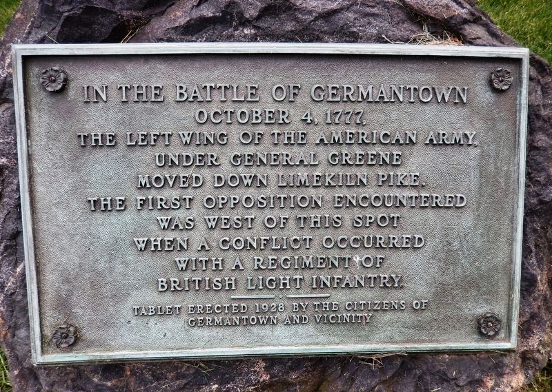
In The Battle of Germantown
October 4, 1777
under General Greene
moved down Limekiln Pike.
The first opposition encountered
was west of this spot
when a conflict occurred
with a regiment of
British light infantry.
Tablet erected 1928 by the Citizens of
Germantown and vicinity
Erected 1928 by Citizens of Germantown and Vicinity.
Topics and series. This historical marker is listed in these topic lists: Cemeteries & Burial Sites • Colonial Era • War, US Revolutionary. In addition, it is included in the National Cemeteries series list. A significant historical date for this entry is October 4, 1777.
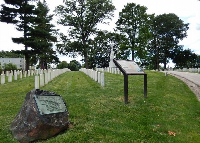
Location. 40° 3.517′ N, 75° 9.191′ W. Marker is in Philadelphia, Pennsylvania, in Philadelphia County. It is in West Oak Lane. Marker can be reached from the intersection of Limekiln Pike and Haines Street (69th Avenue). Marker is located within the Philadelphia National Cemetery grounds, on the left-hand side after entering through the main gate. Touch for map. Marker is at or near this postal address: 6909 Limekiln Pike, Philadelphia PA 19138, United States of America. Touch for directions.
Other nearby markers. At least 8 other markers are within walking distance of this marker. A National Cemetery System (here, next to this marker); Address by President Lincoln (a few steps from this marker); Mexican-American War Monument (within shouting distance of this marker); Philadelphia National Cemetery (about 400 feet away, measured in a direct line); U.S.C.T. Burials in the National Cemetery (about 500 feet away); Confederate Burials in the National Cemetery (about 800 feet away); Confederate Soldiers and Sailors Monument (approx. 0.2 miles away); Village of La Mott (approx. ¾ mile away). Touch for a list and map of all markers in Philadelphia.
Related markers. Click here for a list of markers that are related to this marker. Philadelphia National Cemetery
Also see . . . Battle of Germantown. The tide of the battle turned when the last column, commanded by General Nathanael Greene, entered the fray. By the time it reached the British camp, the field was obscured by a thick fog and gun smoke, and Sullivan’s column had already pushed well into the British camp. The two American columns stumbled into each other and, unable to make visual contact, fired upon each other. By the time the two columns realized what had happened, they faced a punishing counterassault from the British that drove them from the field. (Submitted on July 14, 2019, by Cosmos Mariner of Cape Canaveral, Florida.)
Credits. This page was last revised on February 2, 2023. It was originally submitted on July 10, 2019, by Cosmos Mariner of Cape Canaveral, Florida. This page has been viewed 238 times since then and 20 times this year. Photos: 1. submitted on July 10, 2019, by Cosmos Mariner of Cape Canaveral, Florida. 2. submitted on July 14, 2019, by Cosmos Mariner of Cape Canaveral, Florida.

