Veracruz, Mexico — The Gulf Coast (North America)
The Convent of San Agustín
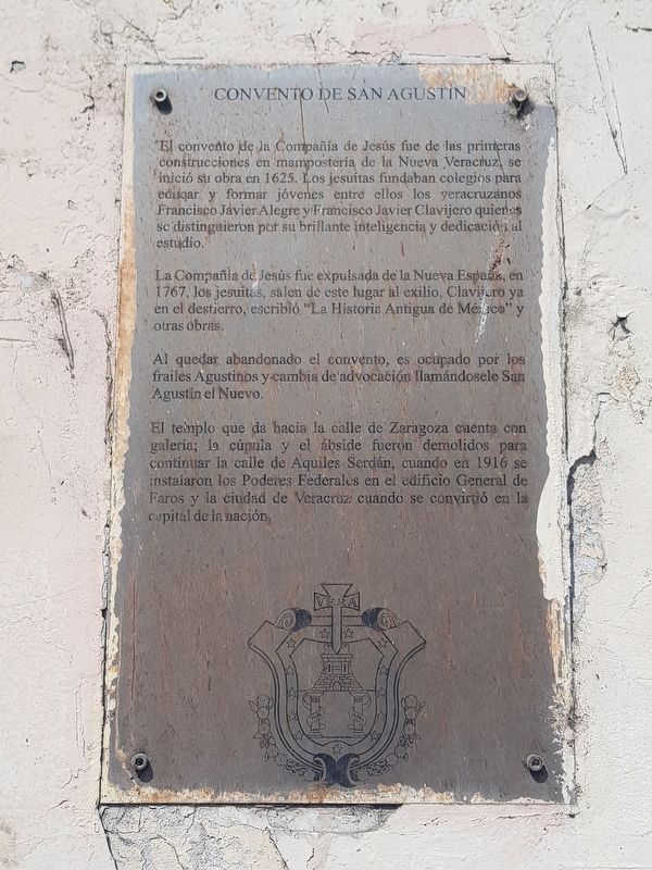
El convento de la Compañía de Jesús fue de las primeras construcciones en mampostería de la Nueva Veracruz, se inició su obra en 1625. Los jesuitas fundaban colegios para educar y formar jóvenes entre ellos los veracruzanos Francisco Jávier Alegre y Francisco Javier Clavijero quienes se distinguieron por su brillante inteligencia y dedicación al estudio.
La Compañía de Jesús fue expulsada de la Nueva España, 1767, los jesuitas, salen de este lugar al exilio, Clavijero ya en el destierro, escribió "La Historia Antigua de México" y otras obras.
Al quedar abandonado el convento, es ocupado por los frailes Agustinos y cambia de advocación llamándosele San Agustín el Nuevo.
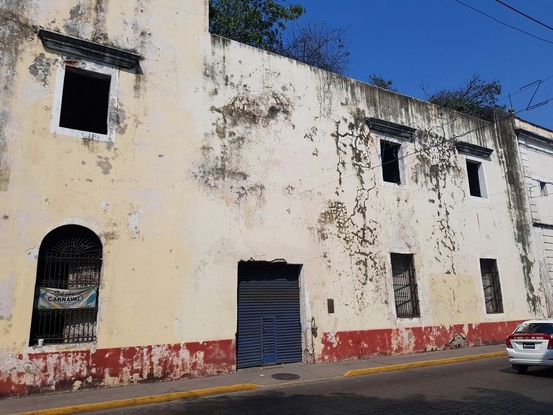
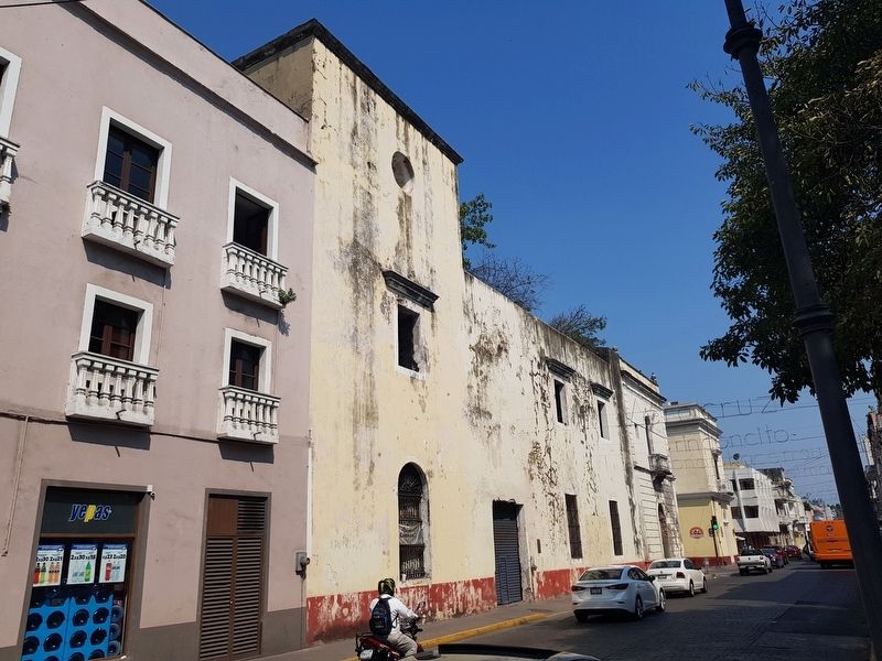
El templo que da hacia la calle de Zaragoza cuenta con galería; la cúpula y el ábside fueron demolidos para continuar la calle de Aquiles Serdán, cuando en 1916 se instalaron los Poderes Federales en el edificio General de Faros y la ciudad de Veracruz cuando se convirtió en la capital de la nación.
Convent of San Agustín
Begun in 1625, the Convent of the Company of Jesus was one of the first masonry constructions of the Nueva Veracruz. The Jesuits founded schools to educate and train young people, among them the Veracruzans Francisco Jávier Alegre and Francisco Javier Clavijero, who distinguished themselves by their brilliant intelligence and dedication to study.
The Society of Jesus was expelled from New Spain and in 1767 the Jesuits leave this place in exile. Clavijero, already in exile, wrote "The Ancient History of Mexico" and other works.
When the convent is abandoned, it is occupied by Augustinian friars and its name is changed to San Agustín el Nuevo.
The temple that faces the street of Zaragoza has a gallery; the dome and the apse were demolished to continue the street of Aquiles Serdán, when in 1916 the Federal Powers were installed in the General Lighthouse Building and the city of Veracruz became the capital of the nation.
Topics. This historical marker is listed in these topic lists: Churches & Religion • Colonial Era • Women. A significant historical year for this entry is 1625.
Location. 19° 11.998′ N, 96° 8.215′ W. Marker is in Veracruz. Marker is on Avenida Ignacio Zaragoza just south of Mario Molina, on the left when traveling south. Touch for map. Marker is in this post office area: Veracruz 91700, Mexico. Touch for directions.
Other nearby markers. At least 8 other markers are within walking distance of this marker. Major General Álvaro Obregón (within shouting distance of this marker); Commemoration of 100 Years of Mexican Marine Unions (within shouting distance of this marker); Manuel Gutiérrez Zamora (about 90 meters away, measured in a direct line); The Portal de Miranda Building (about 90 meters away); The Central Square, Municipal Palace and Cathedral (about 90 meters away); Rafael Solana Salcedo (about 120 meters away); First Municipal Council in Mexico (about 120 meters away); Death of Aurelio Monfort (about 150 meters away). Touch for a list and map of all markers in Veracruz.
Credits. This page was last revised on January 4, 2023. It was originally submitted on July 11, 2019, by J. Makali Bruton of Accra, Ghana. This page has been viewed 151 times since then and 24 times this year. Photos: 1, 2, 3. submitted on July 11, 2019, by J. Makali Bruton of Accra, Ghana.


