Fort Gibson in Muskogee County, Oklahoma — The American South (West South Central)
Fort Gibson Stockade Well
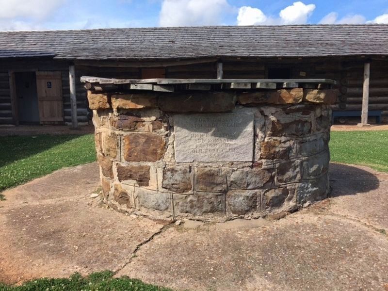
Photographed by Ruth Wilson Wilcox, June 22, 2017
1. Fort Gibson Stockade Well Marker
Stockade Well
1824
Rich In History
and Romance
Restored By
Old Fort Club
1933
Erected 1933 by Old Fort Club.
Topics. This historical marker is listed in these topic lists: Man-Made Features • Settlements & Settlers. A significant historical year for this entry is 1824.
Location. 35° 48.215′ N, 95° 15.444′ W. Marker is in Fort Gibson, Oklahoma, in Muskogee County. It is on East Ash Avenue. On the grounds of Fort Gibson Historic Site. Touch for map. Marker is in this post office area: Fort Gibson OK 74434, United States of America. Touch for directions.

Regionally, this marker is in Oklahoma’s Muscogee Nation, specifically in the Cherokee Nation, and in Northeast Oklahoma—Green Country. It is also in the American South, specifically on the prairies, and on the Southern Plains. Globally, it is in North America, the Western Hemisphere, the Western World, and the Anglosphere. Historically, it finds itself in what was once the territory of the Mississippian Culture and also the Louisiana Purchase.
Other nearby markers. At least 8 other markers are within walking distance
this page online
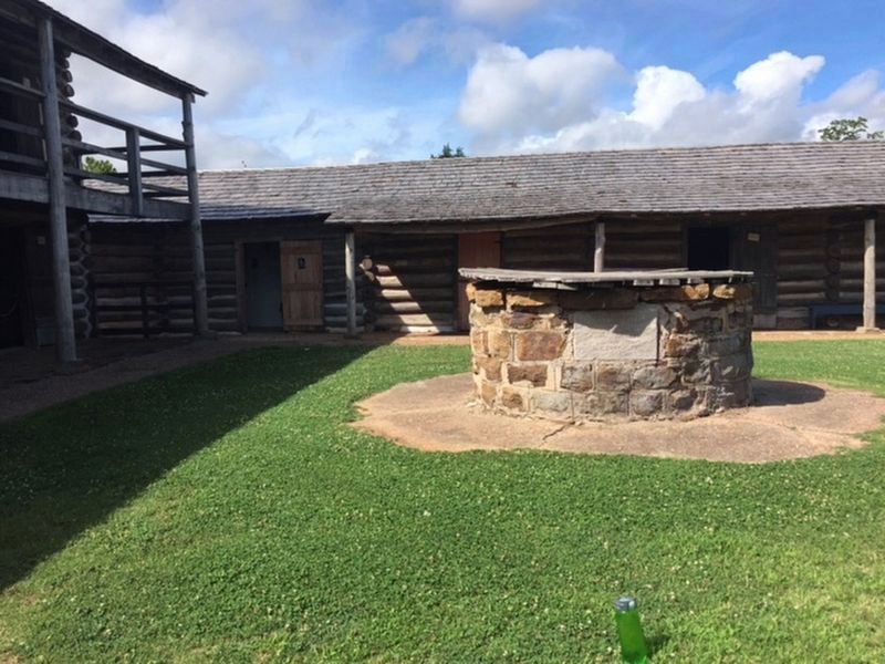
Photographed by Ruth Wilson Wilcox, June 22, 2017
2. Fort Gibson Stockade Well Marker
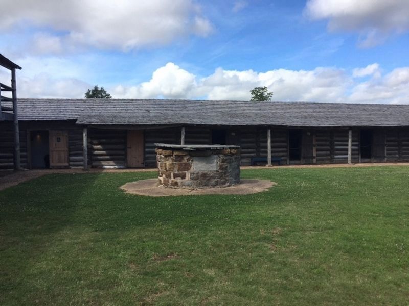
Photographed by Ruth Wilson Wilcox, June 22, 2017
3. Fort Gibson Stockade Well Marker
Credits. This page was last revised on June 27, 2025. It was originally submitted on July 11, 2019. This page has been viewed 422 times since then and 33 times this year. Photos: 1, 2, 3. submitted on July 11, 2019.
