
Urbana in Steuben County, New York — The American Northeast (Mid-Atlantic)
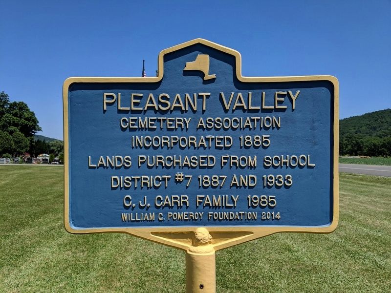
Pleasant Valley
Cemetery Association
Photographed by Mike Wintermantel
1. Pleasant Valley Marker
Lands purchased from School District #7 1887 and 1933
C.J. Carr Family 1985
Erected 2014 by William G. Pomeroy Foundation.
Topics and series. This historical marker is listed in this topic list: Cemeteries & Burial Sites. In addition, it is included in the William G. Pomeroy Foundation series list. A significant historical year for this entry is 1885.
Location. 42° 23.411′ N, 77° 15.386′ W. Marker is in Urbana, New York, in Steuben County. It is at the intersection of New York State Route 54 and Cemetery Road, on the right when traveling west on New York State Route 54. Touch for map. Marker is in this post office area: Bath NY 14810, United States of America. Touch for directions.

Regionally, this marker is in Upstate New York, specifically in Western New York, and in the Southern Tier. It is also in the American Northeast, in the Mid-Atlantic, in Appalachia, and specifically in Northern Appalachia. Globally, it is in North America, the Western Hemisphere, the Western World, and the Anglosphere. Historically, it finds itself in what was once the Haudenosaunee (Iroquois) Confederacy,
this page online
Other nearby markers. At least 8 other markers are within 2 miles of this marker, measured as the crow flies: Pleasant Valley War Memorial (a few steps from this marker); Glenn Hammond Curtiss (within shouting distance of this marker); 1878-1930 Larger Than Life (approx. ¼ mile away); Glenn Curtiss (approx. half a mile away); 1908 An Astonishing Sight (approx. 0.7 miles away); Glenn H. Curtiss (approx. 1.4 miles away); Cradle of Aviation (approx. 1.4 miles away); Into the World of Aviation (approx. 1.9 miles away).
Photographed by Mike Wintermantel
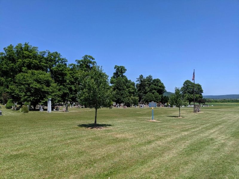
2. Pleasant Valley Marker
Looking East
Photographed by Mike Wintermantel
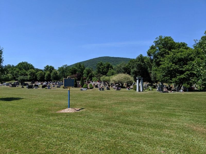
3. Pleasant Valley Marker
Looking West

Photographed by Mira Earls, March 4, 2025
4. Pleasant Valley with flag
Credits. This page was last revised on May 22, 2025. It was originally submitted on July 14, 2019, by Mike Wintermantel of Pittsburgh, Pennsylvania. This page has been viewed 401 times since then and 23 times this year. Photos: 1, 2, 3. submitted on July 14, 2019, by Mike Wintermantel of Pittsburgh, Pennsylvania. 4. submitted on May 20, 2025, by Mira Earls of Cortland, New York.
