Near Wellsville in Allegany County, New York — The American Northeast (Mid-Atlantic)
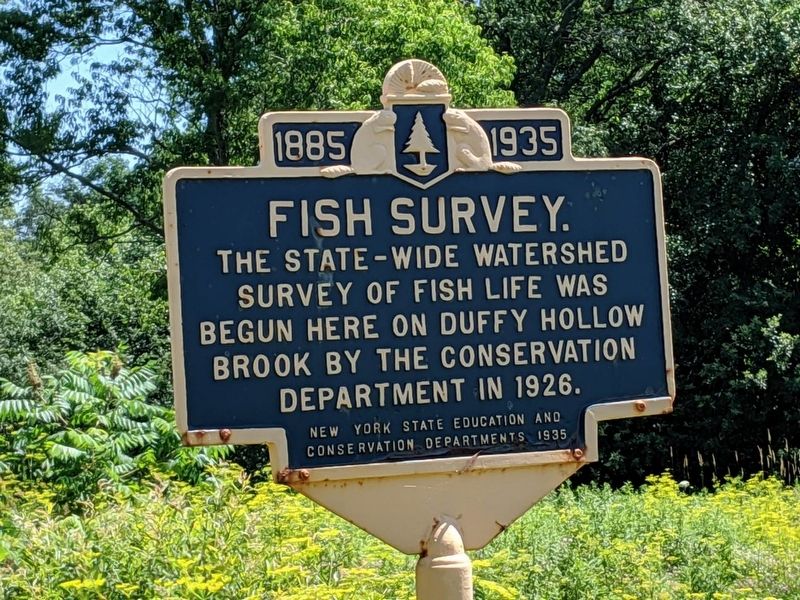
1885 • Fish Survey • 1935
Erected 1935 by New York State Education and Conservation Departments.
Topics. This historical marker is listed in this topic list: Waterways & Vessels. A significant historical year for this entry is 1926.
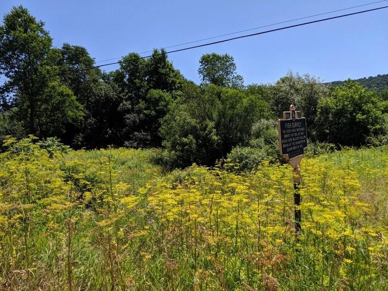
Location. 42° 8.77′ N, 77° 52.776′ W. Marker is near Wellsville, New York, in Allegany County. Marker is at the intersection of Andover Roa (New York State Route 417) and Duffy Hollow Road, on the right when traveling east on Andover Roa. Located across from Duffy Hollow Road next to Duffy Hollow Creek. Touch for map. Marker is in this post office area: Wellsville NY 14895, United States of America. Touch for directions.
Other nearby markers. At least 8 other markers are within 6 miles of this marker, measured as the crow flies. Early Cemetery (approx. 1.3 miles away); Tanbark City (approx. 3.7 miles away); Van Buren Hotel & Fassett House (approx. 3.8 miles away); Erie Railroad (approx. 3.9 miles away); Gardiner Wells (approx. 3.9 miles away); David A Howe (approx. 3.9 miles away); William F. Jones 1826-1910 / Gertrude F. Jones 1841-1920 (approx. 4 miles away); Town of Scio (approx. 5.4 miles away). Touch for a list and map of all markers in Wellsville.
Also see . . . New York State Department of Environmental Conservation . (Submitted on July 14, 2019, by Mike Wintermantel of Pittsburgh, Pennsylvania.)
Credits. This page was last revised on July 14, 2019. It was originally submitted on July 14, 2019, by Mike Wintermantel of Pittsburgh, Pennsylvania. This page has been viewed 194 times since then and 20 times this year. Photos: 1, 2. submitted on July 14, 2019, by Mike Wintermantel of Pittsburgh, Pennsylvania.

