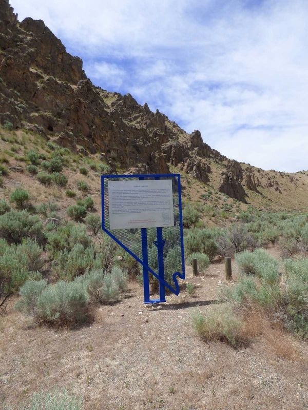
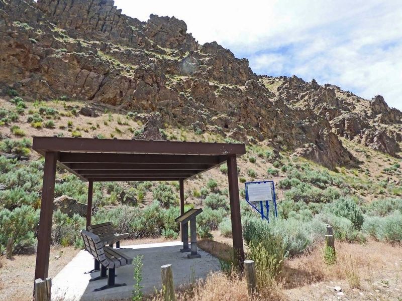
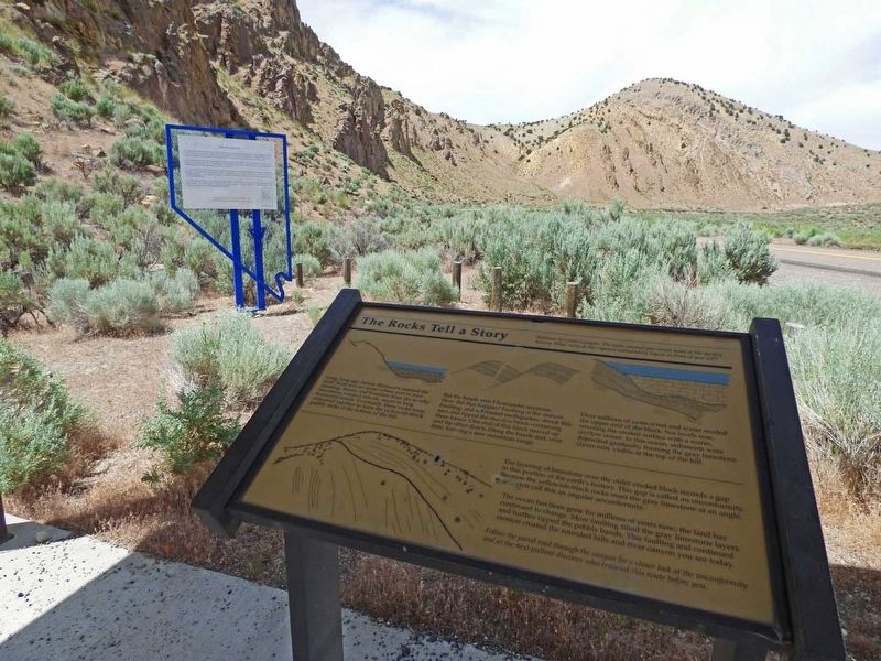
Near Carlin in Elko County, Nevada — The American Mountains (Southwest)
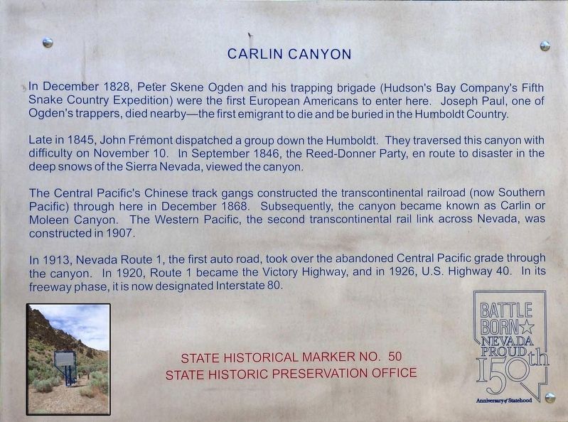
Carlin Canyon
Late in 1845, John Fremont dispatched a group down the Humboldt. They traversed this canyon with difficulty on November 10. In September 1846, the Reed-Donner Party, en route to disaster in the deep snows of the Sierra Nevada, viewed the canyon.
The Central Pacific's Chinese track gangs constructed the transcontinental railroad (now Southern Pacific) through here in December, 1868. Subsequently, the canyon became known as Carlin or Moleen Canyon. The Western Pacific, second transcontinental rail link across Nevada, was constructed in 1907.
In 1913, Nevada Route 1, the first auto road, took over the abandoned Central Pacific grade through the canyon. In 1920, Route 1 became the Victory Highway, and in 1926, U.S. Highway 40. In its freeway phase, it is now designated Interstate 80.
Erected by State Historical Preservation Marker. (Marker Number 50.)
Topics. This historical marker is listed in these topic lists: Railroads & Streetcars • Roads & Vehicles • Settlements & Settlers. A significant historical month for this entry is December 1828.
Location. 40° 43.671′ N, 116° 1.188′ W. Marker is near Carlin, Nevada, in Elko County. Marker is on Old Highway 40 (Chestnut Street), on the left when traveling north. To access one must exit I80 (Exit 282)located several miles to the west of the marker, then travel east along Chestnut Street, crossing under the I80 bridge, just before the Carlin Tunnel (west side of the Carlin Tunnel). Continue north a short distance to find the marker on the left side of the road. Touch for map. Marker is in this post office area: Carlin NV 89822, United States of America. Touch for directions.
Other nearby markers. At least 8 other markers are within 6 miles of this marker, measured as the crow flies. California Trail - Carlin Canyon (approx. 0.6 miles away); Carlin (approx. 5.3 miles away); The California Emigrant Trail Interpretive Center (approx. 5.8 miles away); The Humboldt River Highway (approx. 5.8 miles away); About Your Journey ... (approx. 5.8 miles away); The End of the Hastings Cutoff (approx. 5.8 miles away); Marking Time (approx. 5.8 miles away); California Trail - Greenhorn Cutoff (approx. 5.8 miles away). Touch for a list and map of all markers in Carlin.
Credits. This page was last revised on July 18, 2019. It was originally submitted on July 15, 2019, by Paulette Nelson of N Las Vegas, Nevada. This page has been viewed 295 times since then and 35 times this year. Photos: 1, 2, 3, 4. submitted on July 15, 2019, by Paulette Nelson of N Las Vegas, Nevada. • Bill Pfingsten was the editor who published this page.


