Mobile in Mobile County, Alabama — The American South (East South Central)
Tristan de Luna y Arellano
1519–1573
Photographed by Jason Irick, July 15, 2019
1. Tristan de Luna y Arellano Marker
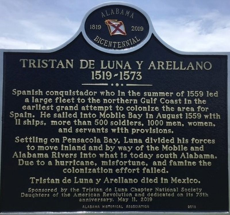
Spanish conquistador who in the summer of 1559 led a large fleet to the northern Gulf Coast in the earliest grand attempt to colonize the area for Spain. He sailed into Mobile Bay in August 1559 with 11 ships, more than 500 soldiers, 1000 men, women, and servants with provisions.
Settling on Pensacola Bay, Luna divided his forces to move inland and by the way of the Mobile and Alabama Rivers into what is today south Alabama. Due to a hurricane, misfortune, and famine the colonization effort failed.
Tristan de Luna y Arellano died in Mexico.
Daughters of the American Revolution and dedicated on its 75th
anniversary, May 11, 2019
Erected 2019 by Tristan de Luna Chapter National Society, Daughters of the American Revolution and the Alabama Historical Association.
Topics and series. This historical marker is listed in these topic lists: Exploration • Hispanic Americans • Settlements & Settlers. In addition, it is included in the Alabama Historical Association, and the Daughters of the American Revolution (DAR) series lists. A significant historical month for this entry is August 1559.
Location. 30° 40.949′ N,
this page online

Regionally, this marker is on the Gulf Coast and in the Mobile Bay area. It is also in the American South, specifically in the Deep South, and on the Gulf Coast. Globally, it is in North America, a Gulf of Mexico state, the Western Hemisphere, the Western World, and the Anglosphere. Historically, it finds itself in what was once New Spain, the Viceroyalty of New France, the territory of the Mississippian Culture, one of the Confederate States of America, and the Antebellum South.
Other nearby markers. At least 8 other markers are within walking distance of this marker: 6-Pounder Saluting Gun (a few steps from this marker); Horace O. Davis (within shouting distance of this marker); T-55 Main Battle Tank (within shouting distance
Photographed by Jason Irick, July 15, 2019
2. Tristan de Luna y Arellano Marker
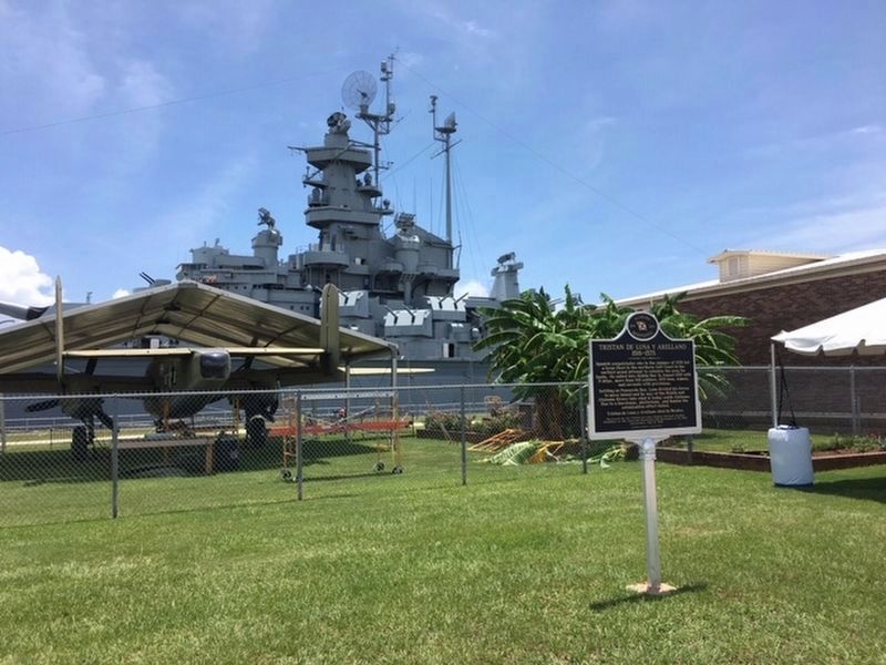
The marker as seen from a distance, with the Battleship Alabama in the background.
Photographed by Jason Irick, July 15, 2019
3. Tristan de Luna y Arellano Marker
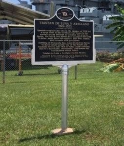
A full view of the marker.
Credits. This page was last revised on October 4, 2024. It was originally submitted on July 16, 2019, by Rev. Ronald Irick of West Liberty, Ohio. This page has been viewed 1,664 times since then and 59 times this year. Photos: 1, 2, 3. submitted on July 16, 2019, by Rev. Ronald Irick of West Liberty, Ohio. • Bernard Fisher was the editor who published this page.
