Wixom in Oakland County, Michigan — The American Midwest (Great Lakes)
Traces of History
Along Pontiac Trail
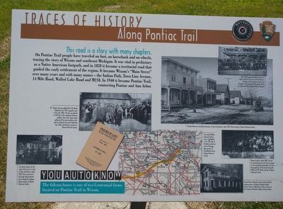
This road is a story with many chapters.
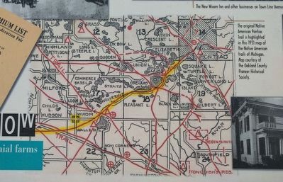
On Pontiac Trail people have traveled on foot, on horseback and on wheels, tracing the story of Wixom and southeast Michigan. It was vital in prehistory as a Native American footpath, and in 1828 it became a territorial road that guided the early settlement of the region. It became Wixom's "Main Street" over many years and with many names - the Indian Path, Town Line Avenue, 14 Mile Road, Walled Lake Road and M218. In 1940 it became Pontiac Trail, connecting Pontiac and Ann Arbor.
You Auto Know
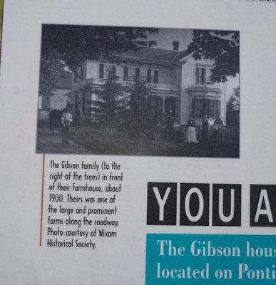
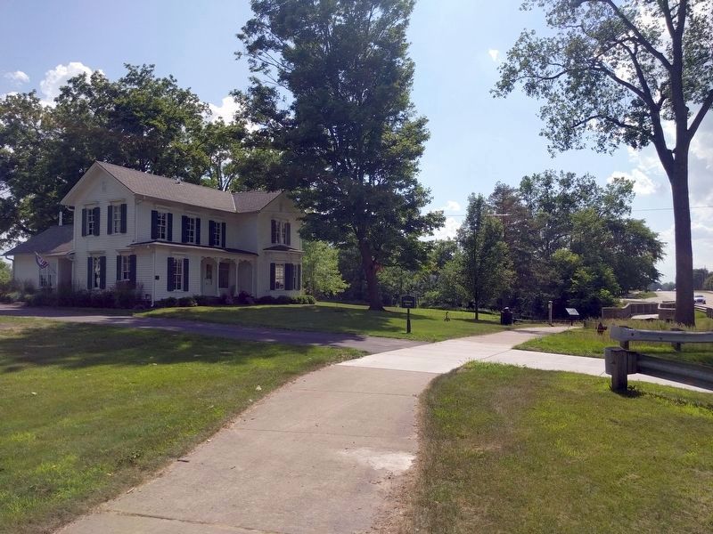
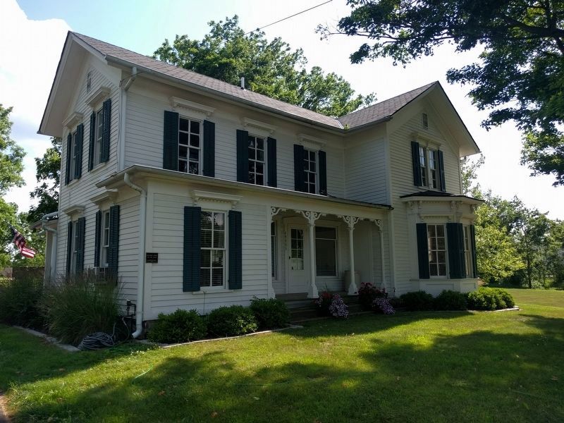
The Gibson house is one of two Centennial farms located on Pontiac Trail in Wixom.
Erected by MotorCities National Heritage Area, National Park Service.
Topics and series. This historical marker is listed in this topic list: Roads & Vehicles. In addition, it is included in the MotorCities National Heritage Area series list. A significant historical year for this entry is 1828.
Location. 42° 31.443′ N, 83° 32.514′ W. Marker is in Wixom, Michigan, in Oakland County. Marker is on Pontiac Trail, 0.2 miles west of Old Wixom Road, on the left when traveling west. Marker is in Gibson Park. Touch for map. Marker is at or near this postal address: 49805 Pontiac Trail, Wixom MI 48393, United States of America. Touch for directions.
Other nearby markers. At least 8 other markers are within 4 miles of this marker , measured as the crow flies. Intersecting Lines (approx. 0.3 miles away); Wixom-Wire House (approx. 0.6 miles away); From Sibley's Corners to Wixom (approx. 0.6 miles away); Wixom Cemetery (approx. 0.6 miles away); Detroit Finnish Co-operative Summer Camp Association / Detroitin Suomailinen Kesaleiriyhdistys (approx. 2 miles away); Stonecrest (approx. 3 miles away); Walled Lake (approx. 3.1 miles away); Walled Lake Casino (approx. 3.4 miles away). Touch for a list and map of all markers in Wixom.
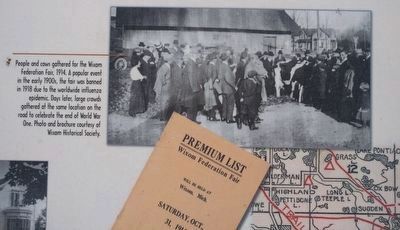
Photo and brochure courtesy of Wixom Historical Society.
2. Upper left image
People and cows gathered for the Wixom Federation Fair, 1914. A popular event in the early 1900s, the fair was banned in 1918 due to the worldwide influenza epidemic. Days later, large crowds gathered at the same location on the road to celebrate the end of World War One.
Photos courtesy of Wixom Historical Society.
5. Upper right images
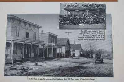
Top: Over 5,000 people travelled to Wixom in August 1879 for the Great Civil War Reunion. Members of the regiments lined up in formation, and marched on the road for all to see.
Bottom: The New Wixom Inn and other businesses on Town Line Avenue, about 1900.
Bottom: The New Wixom Inn and other businesses on Town Line Avenue, about 1900.
Top: Wixom Historical Society; bottom: Friends of the Banks Dolbeer Historic Home
6. Lower right images
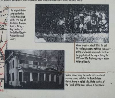
Top: Wixom bicyclists, about 1890. The call for road paving came not from carriages or the newfangled automobile, but from the popularity of the bicycle during the 1880s and 90s
Bottom: Several homes along the road corridor sheltered escaping slaves, including the Banks Dolbeer Historic Home in Walled Lake.
Bottom: Several homes along the road corridor sheltered escaping slaves, including the Banks Dolbeer Historic Home in Walled Lake.
Credits. This page was last revised on July 16, 2019. It was originally submitted on July 16, 2019, by Joel Seewald of Madison Heights, Michigan. This page has been viewed 761 times since then and 118 times this year. Photos: 1, 2, 3, 4, 5, 6, 7, 8. submitted on July 16, 2019, by Joel Seewald of Madison Heights, Michigan.
