Brunswick in Medina County, Ohio — The American Midwest (Great Lakes)
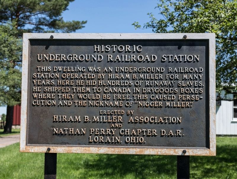
Historic Underground Railroad Station
Photographed by J. J. Prats, June 21, 2019
1. Historic Underground Railroad Station Marker
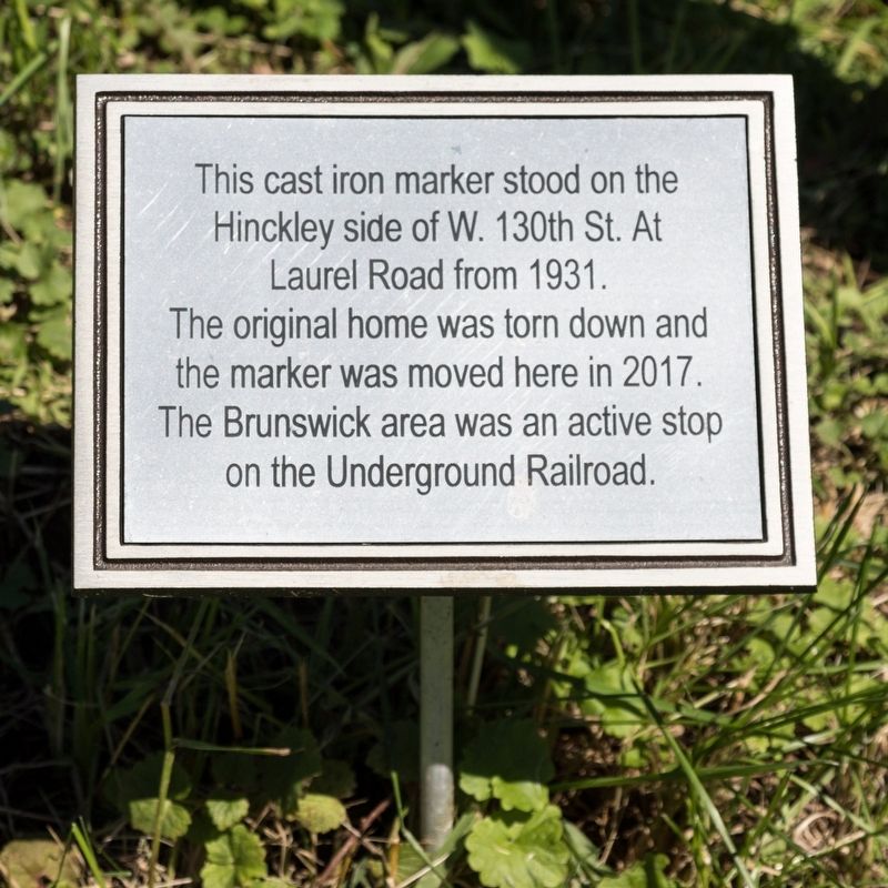
(small sign below)
This cast iron marker stood on the Hinkley side of W. 130th St. at Laurel Road from 1931. The original home was torn down and the marker was moved here in 2017. The Brunswick area was an active stop on the Underground Railroad.
Erected 1931 by Hiram B. Miller Association and the Nathan Perry Chapter, D.A.R. Lorain, Ohio.
Topics and series. This historical marker is listed in these topic lists: Abolition & Underground RR • African Americans. In addition, it is included in the Daughters of the American Revolution (DAR) series list. A significant historical year for this entry is 1931.
Location. 41° 13.602′ N, 81° 51.146′ W. Marker is in Brunswick, Ohio, in Medina County. It is on Laurel Road west of Pearl Road (Ohio Route 42), on the right when traveling west. It is at Heritage Farm. Touch for map. Marker is at or near this
Photographed by J. J. Prats, June 21, 2019
2. Small sign posted below the marker
this page online

Regionally, this marker is in Greater Cleveland and in the Western Reserve. It is also in the American Midwest and in the Corn Belt. Globally, it is in North America, the Western Hemisphere, the Western World, and the Anglosphere. Historically, it finds itself in what was once the Haudenosaunee (Iroquois) Confederacy, the territory of the Mississippian Culture, and the Northwest Territory.
Other nearby markers. At least 8 other markers are within 4 miles of this marker, measured as the crow flies: This Cast Iron Marker (here, next to this marker); The Stone Front Step (within shouting distance of this marker); Heritage Farm (within shouting distance of this marker); Brunswick Veterans (about 300 feet away, measured in a direct line); Brunswick's First Church Bell (about 300 feet away); Brunswick United Methodist Church (approx. one mile away); Liverpool Township / Liverpool and Valley City (approx. 3.9 miles away); First Congregational Church of Weymouth (approx. 4 miles away). Touch for a list and map of all markers
Photographed by J. J. Prats, June 21, 2019
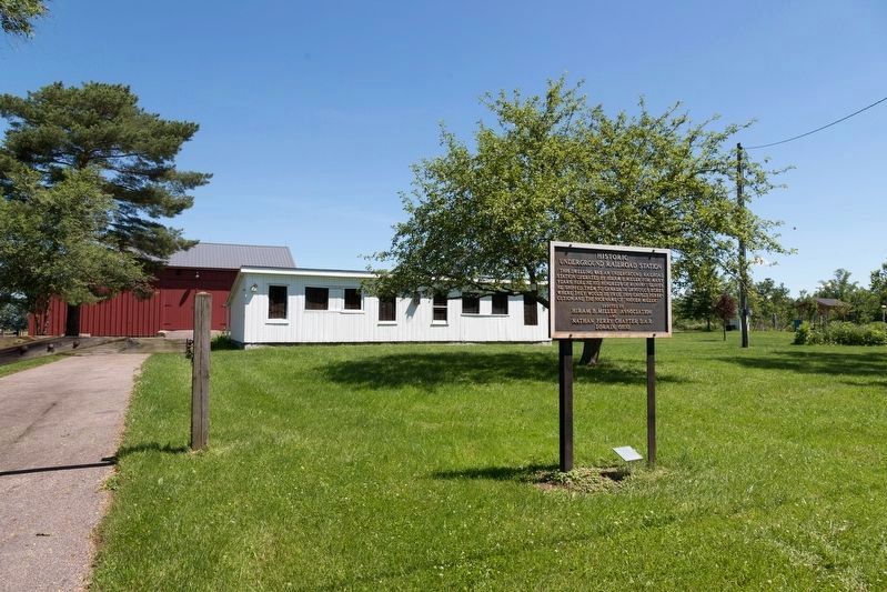
3. Historic Underground Railroad Station Marker
Also see . . . Hiram Miller Underground Railroad sign moves from Hinckley. 2016 article by Halee Heironimus in the Medina Gazette. “The president of the Hinckley Historical Society, Chuck Gibson, said Miller’s house was removed at least 30 years ago, if not longer, but said the historical society has no record of it. ‘The sign references that there was an Underground Railroad location building on the site,’ Gibson said. ‘That building is gone and so as a result the sign doesn’t reference anything appropriate at this point.’” (Submitted on July 17, 2019.)
Credits. This page was last revised on July 17, 2019. It was originally submitted on July 17, 2019, by J. J. Prats of Powell, Ohio. This page has been viewed 1,369 times since then and 138 times this year. Photos: 1, 2, 3. submitted on July 17, 2019, by J. J. Prats of Powell, Ohio.
