Navy Yard in Southeast Washington in Washington, District of Columbia — The American Northeast (Mid-Atlantic)
Virginia Avenue Tunnel (1906-2015) / Navy Yard Tunnel (1872-1906)
Virginia Avenue Tunnel

Photographed By Devry Becker Jones (CC0), July 17, 2019
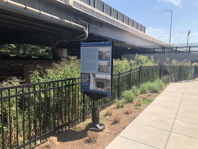
1. Virginia Avenue Tunnel (1906-2015) Marker
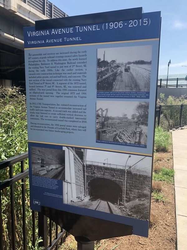
Virginia Avenue Tunnel
As automobile and streetcar use increased during the early 20th century, at-grade railroad crossings created safety hazards throughout the city. To address this issue, the newly formed Philadelphia, Baltimore & Washington Railroad extended the existing Navy Yard tunnel to just west of 2nd Street, SE during the early 1900s. Like the earlier section, a cut-and-cover construction technique was used and materials included ashlar granite, red and buff brick, and concrete. The new section of the tunnel connected with the existing Navy Yard Tunnel at 8th Street, SE. A segment of the 1872 tunnel, located between 7th and 8th Streets, SE, was removed and infilled. The west portal from this 1906 extension featured an elliptical-arch opening. The original 1872 and 1906 sections of the tunnel were together renamed the Virginia Avenue Tunnel.
In 2015, CSX Transportation, Inc. initiated reconstruction of the Virginia Avenue Tunnel to accommodate increased rail traffic and train capacity. A second track was added and the track were lowered to create sufficient vertical clearance to allow the rail cars to carry double-stacked intermodal containers. The reconstructed tunnel was completed in 2018.
During reconstruction, the 1906 portal stones were salvaged and donated to the Friends of Garfield Park, where they will be incorporated into future landscaping projects.
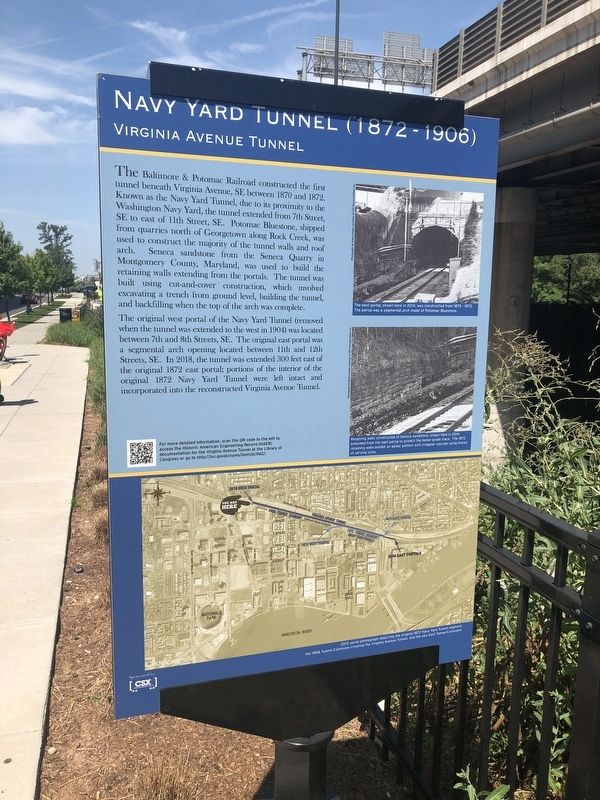
Virginia Avenue Tunnel
The Baltimore & Potomac Railroad constructed the first tunnel beneath Virginia Avenue, SE between 1870 and 1872. Known as the Navy Yard Tunnel, due to its proximity to the Washington Navy Yard, the tunnel extended from 7th Street, from quarries north of Georgetown along Rock Creek, was used to construct the majority of the tunnel walls and roof arch. Seneca sandstone from the Seneca Quarry in Montgomery County, Maryland, was used to build the retaining walls extending from the portals. The tunnel was built using cut-and-cover construction, which involved excavating a trench from ground level, building the tunnel, and backfilling when the top of the arch was complete.
The original west portal of the Navy Yard Tunnel (removed when the tunnel was extended to the west in 1904) was located between 7th and 8th Streets, SE. The original east portal was a segmental arch opening between 11th and 12th Streets, SE. In 2018, the tunnel was extended 300 feet east of the original 1872 east portal; portions of the interior of the original 1872 Navy Yard Tunnel were left intact and incorporated into the reconstructed Virginia Avenue Tunnel.
Erected by CSX Transportation, Inc.
Topics. This historical marker is listed in these topic lists: Parks & Recreational Areas • Railroads & Streetcars. A significant historical year for this entry is 1872.
Location. 38° 52.837′ N, 77° 0.247′ W. Marker is in Southeast Washington in Washington, District of Columbia. It is in Navy Yard. Marker is on H Street Southeast west of 2nd Street Southeast, on the left when traveling east. Touch for map. Marker is at or near this postal address: 101 H Street Southeast, Washington DC 20003, United States of America. Touch for directions.
Other nearby markers. At least 8 other markers are within walking distance of this marker. A Walk on the Canal (about 600 feet away, measured in a direct line); One of DC's Oldest Neighborhoods (approx. 0.2 miles away); Saint Paul African Union Methodist Protestant (AUMP) Church (approx. ¼ mile away); Original Site Of Providence Hospital (approx. ¼ mile away); Water, Water Everywhere (approx. 0.3 miles away); Urban Design (approx. 0.3 miles away); 1925 (approx. 0.3 miles away); Ship's Propeller / Airplane Propeller / Truck Wheel (approx. 0.3 miles away). Touch for a list and map of all markers in Southeast Washington.

Photographed By Devry Becker Jones (CC0), July 17, 2019
3. Virginia Avenue Tunnel (1906-2015) Marker
Credits. This page was last revised on January 30, 2023. It was originally submitted on July 17, 2019, by Devry Becker Jones of Washington, District of Columbia. This page has been viewed 132 times since then and 7 times this year. Photos: 1, 2, 3. submitted on July 17, 2019, by Devry Becker Jones of Washington, District of Columbia.
