Fort Recovery in Mercer County, Ohio — The American Midwest (Great Lakes)
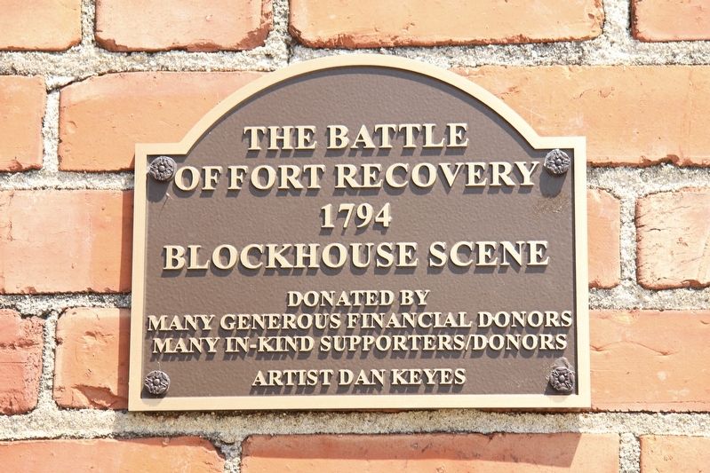
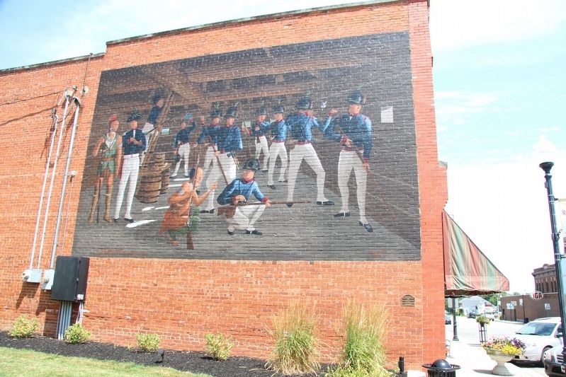
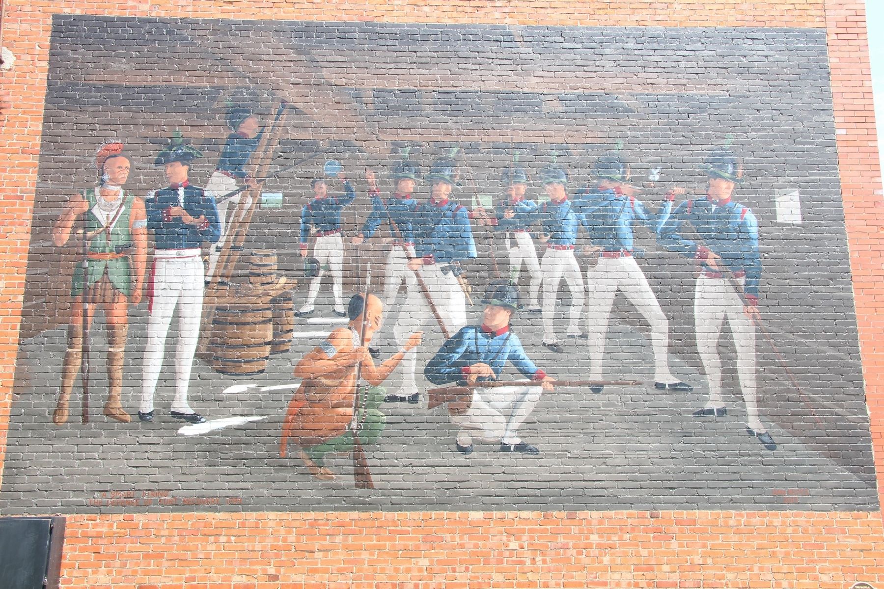
The Battle of Fort Recovery
of Fort Recovery
1794
Blockhouse Scene
Donated by
Many Generous Financial Donors
Many In-Kind Supporters/Donors
Artist Dan Keyes
Topics. This historical marker is listed in these topic lists: Forts and Castles • Native Americans • Wars, US Indian. A significant historical year for this entry is 1794.
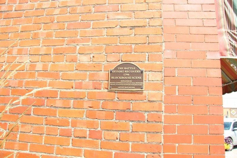
Location. 40° 24.835′ N, 84° 46.777′ W. Marker is in Fort Recovery, Ohio, in Mercer County. Marker is on Wayne Street south of East Boundary Street, on the right when traveling south. This marker is affixed to the south outside wall of a brick building, facing a small public park walkway, that connects the downtown business district to the Fort Recovery Historic Site. Touch for map. Marker is at or near this postal address: 127 Wayne Street, Fort Recovery OH 45846, United States of America. Touch for directions.
Other nearby markers. At least 8 other markers are within walking distance of this marker. The Battle of the Wabash (a few steps from this marker); The Role of Women in the Battle (within shouting distance of this marker); Building Fort Recovery (within shouting distance of this marker); a different marker also named Battle of Fort Recovery (within shouting distance of this marker); Locating the Fort (within shouting distance of this marker); 114-116 North Wayne Street (within shouting distance of this marker); St. Clair’s Defeat (1791) / Wayne’s Victory (1794) (within shouting distance of this marker); 109 North Wayne Street (within shouting distance of this marker). Touch for a list and map of all markers in Fort Recovery.
Credits. This page was last revised on January 28, 2021. It was originally submitted on July 18, 2019, by Dale K. Benington of Toledo, Ohio. This page has been viewed 279 times since then and 20 times this year. Photos: 1, 2, 3, 4. submitted on July 18, 2019, by Dale K. Benington of Toledo, Ohio.


