Jasper in Jasper County, Texas — The American South (West South Central)
Zion Hill Missionary Baptist Church and Cemetery
July 4, 2019
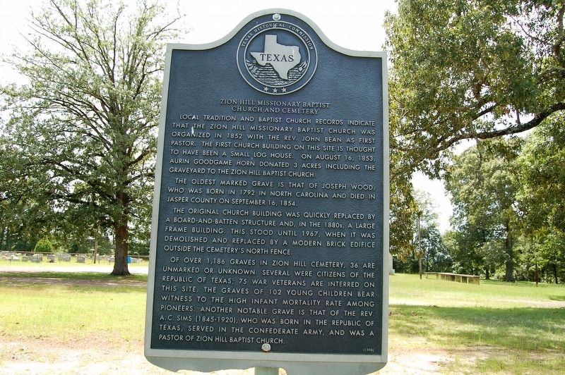
1. Zion Hill Missionary Baptist Church and Cemetery Marker
Local tradition and Baptist church records indicate that the Zion Hill Missionary Baptist Church was organized in 1852 with the Rev. John Bean as first pastor. The first church building on this site is thought to have been a small log house. On August 15, 1853, Aurin Goodgame Horn donated 3 acres including the graveyard to the Zion Hill Baptist Church.
The oldest marked grave is that of Joseph Wood, who was born in 1792 in North Carolina and died in Jasper County on September 16, 1854.
The original church building was quickly replaced by a board-and-batten structure and in the 1880s, a large frame building. This still until 1967, when it was demolished and replaced by a modern brick edifice outside the cemetery's north fence.
Of over 1,186 graves in Zion Hill Cemetery, 36 are unmarked or unknown. Several were citizens of the Republic of Texas; 75 war veterans are interred on this site. The graves of 102 young children bear witness to the high infant mortality rate among pioneers. Another notable grave is that of the Rev. A. C. Sims (1845-1920), who was born in the Republic of Texas, served in the Confederate Army, and was
this page online
Erected 1998 by Texas Historical Commission. (Marker Number 10471.)
Topics. This historical marker is listed in these topic lists: Cemeteries & Burial Sites • Religion & Religious Structures.
Location. 30° 50.196′ N, 93° 58.271′ W. Marker is in Jasper, Texas, in Jasper County. It is on State Highway 96 north of Farm to Market Road 1005, on the right when traveling south. Touch for map. Marker is at or near this postal address: 6038 US Highway 96 South, Jasper TX 75951, United States of America. Touch for directions.

Regionally, this marker is in the American South, specifically in the Deep South, and in the Piney Woods. Globally, it is in North America, a Gulf of Mexico state, the Western Hemisphere, the Western World, and the Anglosphere. Historically, it finds itself in what was once New Spain, the Republic of Texas, one of the Confederate States of America, and the Antebellum South.
Other nearby markers. At least 8 other markers are within 7 miles of this marker, measured as the crow flies: Stephen Williams (approx.
July 4, 2019
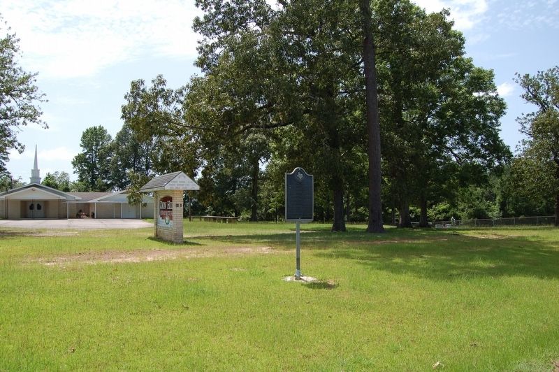
2. Zion Hill Missionary Baptist Church and Cemetery Marker
More about this marker. Very busy highway, be cautious.
Credits. This page was last revised on July 18, 2019. It was originally submitted on July 18, 2019, by Cajun Scrambler of Assumption, Louisiana. This page has been viewed 1,496 times since then and 96 times this year. Photos: 1, 2. submitted on July 18, 2019.
