Bevilport
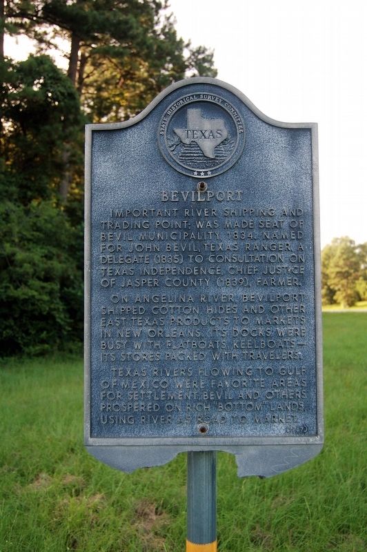
Important river shipping and trading point; was made seat of Bevil municipality, 1834. Named for John Bevil, Texas Ranger, a delegate (1835) to Consultation on Texas Independence, Chief Justice of Jasper County (1839), farmer.
On Angelina River, Bevilport shipped cotton, hides and other East Texas products to markets in New Orleans. Its docks were busy with flatboats, keelboats-- its stores packed with travelers.
Texas rivers flowing to Gulf of Mexico were favorite areas for settlement; Bevil and others prospered on rich "bottom" lands, using river as road to market.
Erected 1967 by State Historical Survey Committee. (Marker Number 10435.)
Topics. This historical marker is listed in these topic lists: Settlements & Settlers • Waterways & Vessels.
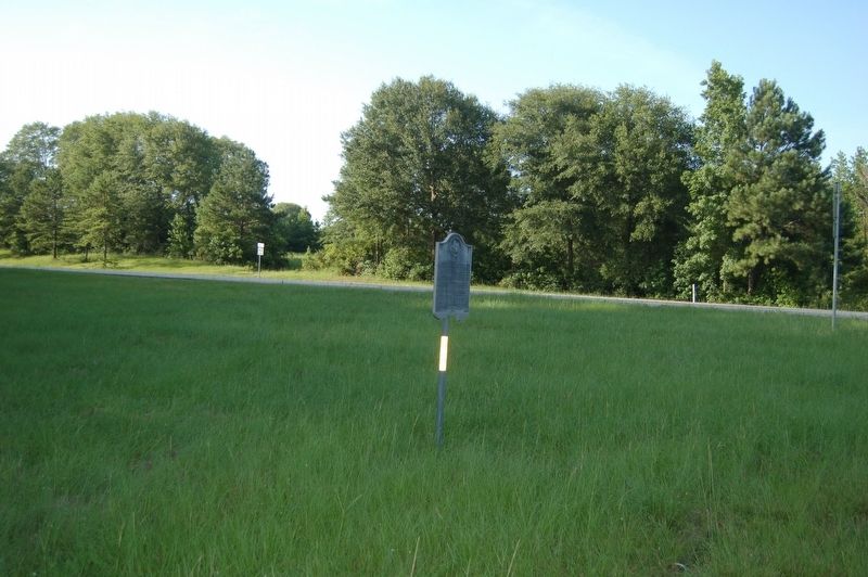
Location. 30° 55.454′ N, 94° 4.202′ W. Marker is in Jasper, Texas, in Jasper County. It is at the intersection of State Highway 63 and County Road 2799, on the left when traveling west on State Highway 63. Touch for map. Marker is in this post office area: Jasper TX 75951, United States of America. Touch for directions.
Regionally, this marker is in the American South, specifically in the Deep South, and in the Piney Woods. Globally, it is in North America, a Gulf of Mexico state, the Western Hemisphere, the Western World, and the Anglosphere. Historically, it finds itself in what was once New Spain, the Republic of Texas, one of the Confederate States of America, and the Antebellum South.
Other nearby markers. At least 8 other markers are within 5 miles of this marker, measured as the crow flies: Alamo Wall and Bulldog Stadium (approx. 3½ miles away); Jasper Public Schools (approx. 3.6 miles away); First United Methodist Church (approx. 4 miles away); Waggoner-Scarborough Home (approx.
this page online
Credits. This page was last revised on November 3, 2023. It was originally submitted on July 19, 2019, by Cajun Scrambler of Assumption, Louisiana. This page has been viewed 940 times since then and 57 times this year. Photos: 1, 2. submitted on July 19, 2019.
