Bethesda in Montgomery County, Maryland — The American Northeast (Mid-Atlantic)
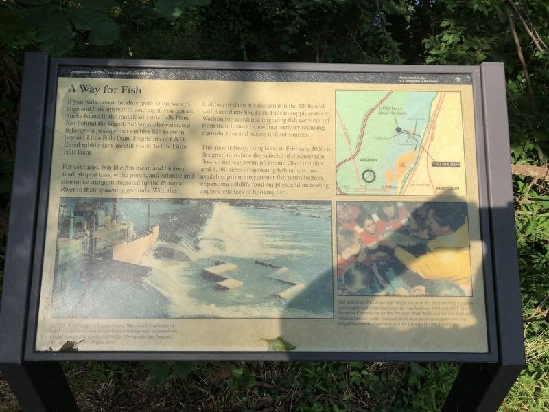
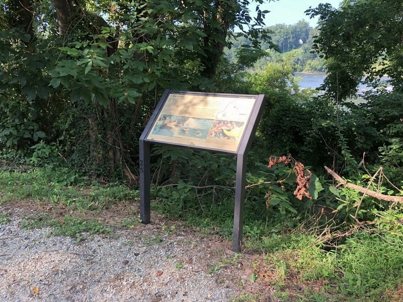
A Way for Fish
Chesapeake and Ohio Canal National Historical Park
— National Park Service, U.S. Department of the Interior —
If you walk down the short path to the water's edge and look upriver to your right, you can see Snake Island in the middle of Little Falls Dam. Just behind the island, hidden underwater, is a fishway—a passage that enables fish to swim beyond Little Falls Dam. Fragments of C&O Canal rubble dam are still visible below Little Falls Dam.
For centuries, fish like American and hickory shad, striped bass, white perch, and Atlantic and shortnose sturgeon migrated up the Potomac River to their spawning grounds. With the building of dams for the canal in the 1800s and with later dams like Little Falls to supply water to Washington residents, migrating fish were cut off from their historic spawning territory reducing reproduction and access to food storage.
This new fishway, completed in February 2000, is designed to reduce the velocity of downstream flow so fish can swim upstream. Over 10 miles and 1,000 acres of spawning habitat are now available, promoting greater fish reproduction, expanding wildlife food supplies, and increasing anglers' chances of hooking fish.
[Captions:]
The U.S. Army Corps of Engineers and Maryland Department of Natural Resources constructed the new fishway with support from a multi-agency task group, part of the Chesapeake Bay Program. This view is from the Virginia shore.
The American shad above was caught to use in the shad stocking program restoring juvenile shad back into the river between 1995 and 2002. The Interstate Commission on the Potomac River Basin and the U.S. Fish and Wildlife Service jointly conducted the shad stocking program with the help of hundreds of students and the Chesapeake Bay Foundation.
Erected by National Park Service, U.S. Department of the Interior.
Topics and series. This historical marker is listed in these topic lists: Animals • Environment • Waterways & Vessels. In addition, it is included in the Chesapeake and Ohio (C&O) Canal series list. A significant historical month for this entry is February 2000.
Location. 38° 56.922′ N, 77° 7.579′ W. Marker is in Bethesda, Maryland, in Montgomery County. Marker is on Chesapeake and Ohio Canal Towpath, on the right when traveling south. Plaque is about .2 miles north of Lock 6. Touch for map. Marker is at or near this postal address: 7021 Macarthur Boulevard, Bethesda MD 20816, United States of America. Touch for directions.
Other nearby markers. At least 8 other markers are within walking distance of this marker. Lockhouse 6 (approx. 0.3 miles away); Fort Sumner (approx. 0.6 miles away); The Dalecarlia Tunnel (approx. 0.7 miles away); Inlet Locks (approx. 0.7 miles away); The Georgetown Branch Railroad
Credits. This page was last revised on September 19, 2021. It was originally submitted on July 20, 2019, by Devry Becker Jones of Washington, District of Columbia. This page has been viewed 323 times since then and 34 times this year. Photos: 1, 2. submitted on July 20, 2019, by Devry Becker Jones of Washington, District of Columbia.

