Shavertown in Luzerne County, Pennsylvania — The American Northeast (Mid-Atlantic)
Administration Building
Photographed by William Fischer, Jr., July 15, 2019
1. Administration Building Marker
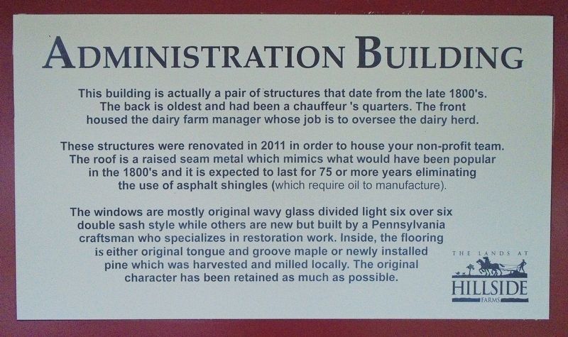
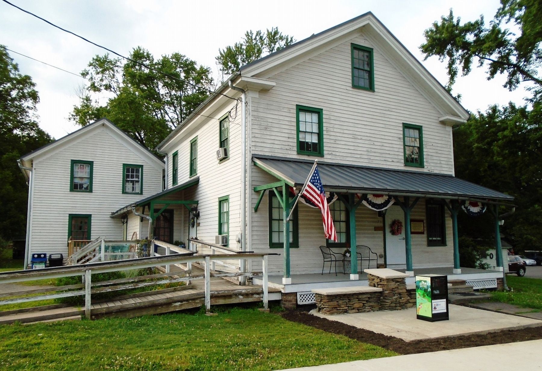
These structures were renovated in 2011 in order to house your non-profit team. The roof is a raised seam metal which mimics what would have been popular in the 1800's and it is expected to last for 75 or more years eliminating the use of asphalt shingles (which require oil to manufacture).
The windows are mostly original wavy glass divided light six over six double sash style while others are new but built by a Pennsylvania craftsman who specializes in restoration work. Inside, the flooring is either original tongue and groove maple or newly installed pine which was harvested and milled locally. The original character has been retained as much as possible.
Erected by The Lands at Hillside Farms.
Topics. This historical marker is listed in these topic lists: Agriculture • Man-Made Features. A significant historical year for this entry is 2011.
Location. 41° 17.881′ N, 75° 56.139′ W. Marker is in Shavertown,
this page online

Regionally, this marker is in Pennsylvania’s Anthracite Coal Region, in the Wyoming Valley, and in Greater Scranton and Wilkes-Barre. It is also in the American Northeast, in the Mid-Atlantic, in Appalachia, and specifically in Northern Appalachia. Globally, it is in North America, the Western Hemisphere, the Western World, and the Anglosphere. Historically, it finds itself in what was once the Haudenosaunee (Iroquois) Confederacy and also one of the original Thirteen Colonies.
Other nearby markers. At least 8 other markers are within 3 miles of this marker, measured as the crow flies: Veterans Memorial (approx. 1.7 miles away); Camp Luzerne (approx. 2.3 miles away); World War II Memorial (approx. 2.3 miles away); Miners Memorial (approx. 2.4 miles away); a different marker also named Veterans Memorial (approx. 2½ miles away);
Photographed by William Fischer, Jr., July 15, 2019
2. Administration Building and Marker
Also see . . . About the Lands at Hillside Farms. (Submitted on July 21, 2019, by William Fischer, Jr. of Reynoldsburg, Ohio.)
Credits. This page was last revised on February 18, 2023. It was originally submitted on July 21, 2019, by William Fischer, Jr. of Reynoldsburg, Ohio. This page has been viewed 193 times since then and 10 times this year. Photos: 1, 2. submitted on July 21, 2019, by William Fischer, Jr. of Reynoldsburg, Ohio.
