
Battle on a Sabbath Morn
Mill Springs Battlefield
| — | National Historic Landmark | — |
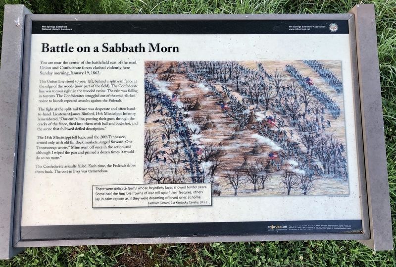
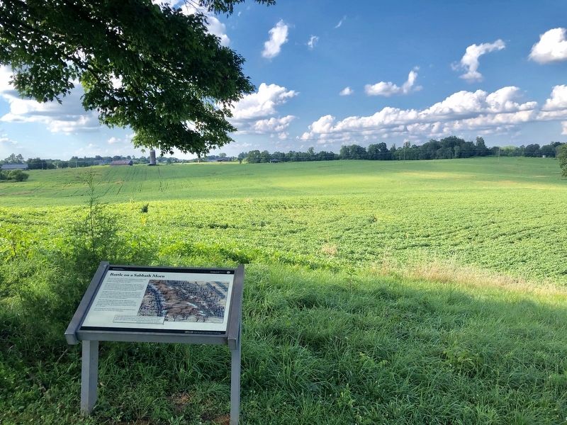
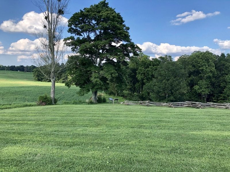
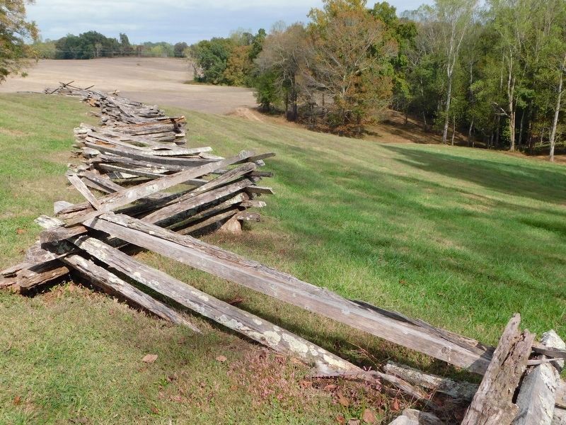
The Union line stood to your left, behind a split-rail fence at the edge of the woods (now part of the field). The Confederate line was to your right, in the wooded ravine. The rain was falling in torrents. The Confederates struggled out of the mud-slicked ravine to launch repeated assaults against the Federals.
The fight at the split-rail fence was desperate and often hand- to-hand. Lieutenant James Binford, 15th Mississippi Infantry, remembered, "Our entire line, putting their guns through the cracks of the fence, fired into them with ball and buckshot, and the scene that followed defied description."
The 15th Mississippi fell back, and the 20th Tennessee, armed only with old flintlock muskets, surged forward. One Tennesseean wrote, " Mine went off once in the action, and although I wiped the pan and primed a dozen times it would do so no more."
The Confederate assaults failed. Each time, the Federals drove them back. The cost in lives was tremendous.
Drawing Inset
There
this page online
Eastham Tarrant, 1st Kentucky Cavalry, (U.S.)
Erected 2014 by Mill Springs Battlefield Association.
Topics and series. This historical marker is listed in these topic lists: Landmarks • War, US Civil. In addition, it is included in the National Historic Landmarks series list. A significant historical date for this entry is January 19, 1862.
Location. 37° 3.398′ N, 84° 44.351′ W. Marker is near Nancy, Kentucky, in Pulaski County. It can be reached from Kentucky Route 235 south of Route 761, on the left when traveling south. Touch for map. Marker is in this post office area: Nancy KY 42544, United States of America. Touch for directions.

Regionally, this marker is in Kentucky’s Lake Cumberland Region. It is also in the American South, specifically in the Upper South, in Appalachia, and specifically in Southern Appalachia. Globally, it is in North America, the Western Hemisphere, the Western World, and the Anglosphere.
Other nearby markers. At least 8 other markers are within walking distance of this marker: Melee at the Fence (here, next to this marker); The General Commanding (within shouting distance of this marker); Fix Bayonets, Charge! (within shouting distance of this marker); A Scene of Battle (within shouting distance of this marker); Balie Peyton, Jr. (1833-1862) (within shouting distance of this marker); Felix K. Zollicoffer / "Zollie Tree" (about 300 feet away, measured in a direct line); The Zollie Tree (about 300 feet away); A Fatal Mistake (about 400 feet away). Touch for a list and map of all markers in Nancy.
Other markers no longer nearby. "Battle on a Sabbath Morn" (was within shouting distance of this marker but has been replaced with another marker now near it); The Union Line at the Fence (was within shouting distance of this marker but has been reported to have been replaced with another marker now near it); George Henry Thomas (was within shouting distance of this marker but has been replaced
Also see . . . Mill Springs Battlefield Association. (Submitted on August 2, 2019.)
Credits. This page was last revised on March 6, 2021. It was originally submitted on July 24, 2019, by Mark Hilton of Montgomery, Alabama. This page has been viewed 370 times since then and 47 times this year. Photos: 1, 2, 3. submitted on July 24, 2019, by Mark Hilton of Montgomery, Alabama. 4. submitted on March 6, 2021, by Bradley Owen of Morgantown, West Virginia. 5. submitted on July 24, 2019, by Mark Hilton of Montgomery, Alabama.
