Near Nancy in Pulaski County, Kentucky — The American South (East South Central)
Action at Timmy's Branch
Mill Springs Battlefield
| — | National Historic Landmark | — |
Photographed by Mark Hilton, July 12, 2019
1. Action at Timmy's Branch Marker
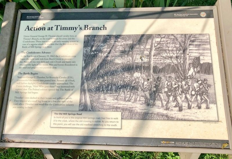
Union General George H. Thomas placed cavalry here, at Timmy's Branch, on the road between his army and the Confederates. These men acted as an early warning system in case of a surprise attack. It was here that the first shots of the Battle of Mill Springs were fired.
The Confederates Advance
In the first hours of January 19, 1862, the Confederate army began the eight-mile trek from Beech Grove to present-day Nancy. It was very dark and cold. Clouds and heavy rain obscured the light of the moon. Men and horses floundered in the mud and progress was painfully slow.
The Battle Begins
Sergeant George C. Thrasher, 1st Kentucky Cavalry (US), commanded the twenty men posted here. Around six o'clock, well before daylight, Confederate cavalry approached. The Union challenge, "Halt! Who goes there?" was answered with a pistol shot. The Federal soldiers opened fire. The Battle of Mill Springs had begun.
Thrasher's men dashed to their horses and galloped north. They stopped at a small log house on a low rise west of the road, where Thrasher sent word that the Confederate infantry was moving in force.
Inset drawing:
this page online
The Old Mill Springs Road
In front of you is the original Mill Springs road. Feel free to walk it to the creek, where the old crossing is visible. As you return to this point, you will see the old roadbed stretching to the south.
Erected 2014 by Mill Springs Battlefield Association.
Topics and series. This historical marker is listed in these topic lists: Landmarks • War, US Civil. In addition, it is included in the National Historic Landmarks series list. A significant historical date for this entry is January 19, 1862.
Location. 37° 2.03′ N, 84° 44.02′ W. Marker is near Nancy, Kentucky, in Pulaski County. It is on Kentucky Route 235 0.6 miles south of Burton Road, on the left when traveling south. Touch for map. Marker is in this post office area: Nancy KY 42544, United States of America. Touch for directions.

Regionally, this marker is in the Lake Cumberland Region. It is also in the American South, specifically in the Upper South, in Appalachia, and specifically in Southern Appalachia. Globally, it is in North America, the Western Hemisphere, the Western World, and the Anglosphere. Historically, it finds itself in what
Photographed by Mark Hilton, July 12, 2019
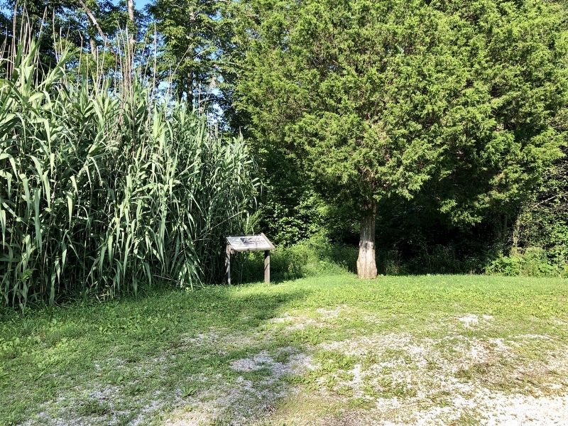
2. Action at Timmy's Branch Marker on left at pull-out.
Other nearby markers. At least 8 other markers are within 2 miles of this marker, measured as the crow flies: A different marker also named "Poor Charlie" (approx. 0.9 miles away); Confederate Field Hospital (approx. 0.9 miles away); Turpin/Simpson Properties (approx. 1.2 miles away); Rutledge's Battery (approx. 1.3 miles away); The Last Stand (approx. 1.3 miles away); Confederate Retreat (approx. 1.4 miles away); The Union Advance (approx. 1½ miles away); Victory! (approx. 1½ miles away). Touch for a list and map of all markers in Nancy.
Other markers no longer nearby. Timmy's Branch (was within shouting distance of this marker but has been replaced with another marker now near it); "Poor Charlie" (was approx. 0.9 miles away but has been replaced with another marker now near it); Confederate Artillery (was approx. 1.4 miles away but has been reported to have been replaced with another marker now near it).
Also see . . . Battle of Mills Spring. Wikipedia entry (Submitted on October 30, 2022, by Larry Gertner of New York, New York.)
Photographed by Mark Hilton, July 12, 2019
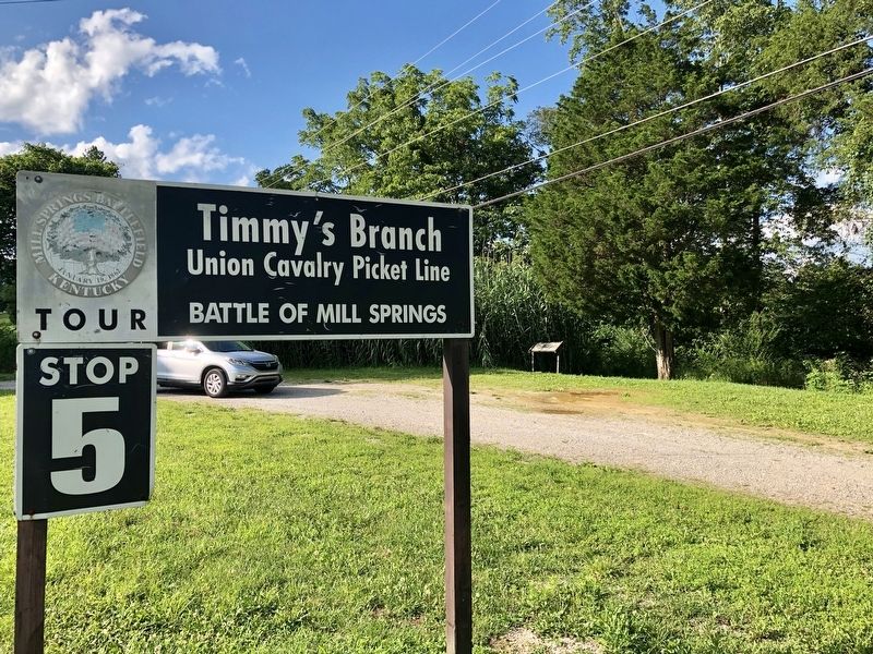
3. Marker is at the Mill Springs Battlefield Tour Stop # 5.
Credits. This page was last revised on October 30, 2022. It was originally submitted on July 25, 2019, by Mark Hilton of Montgomery, Alabama. This page has been viewed 455 times since then and 39 times this year. Photos: 1, 2, 3. submitted on July 25, 2019, by Mark Hilton of Montgomery, Alabama.
