Kinsale - A Walled Town
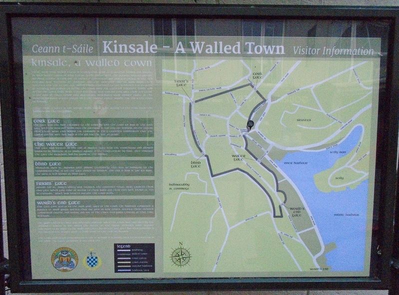
there were four walled towns in county cork: cork city, youghal, bandon and kinsale. as with walled towns all over europe in the middle ages, the purpose was to provide security against attack and to create a commercial and political entity. in the 17th century new methods of warfare and the increased use of guns made such fortifications less secure, but walled towns continued to give residents a perception of security and served to define the town area for taxation purposes. goods sold within the town walls were taxed and there was control over who could sell goods. in the case of these towns only protestant merchants were allowed trade. at the museum entrance a large plaque lists the various taxes payable for 1788 in the town of kinsale.
there were 5 gates in the kinsale walls. these gave access to the cork road, the harbour and the hinterland;
cork gate
the gate was the main entrance to the town by land. the town jail was at the cork gate with the debtors' room over the gateway. it had only one window. on the ground floor there were two rooms for criminals. in 1788 a traveller commented that the gaoler and his wife had 'lived in the jail for the last 43 years'.
water gate
this gate was located at the end of market quay near the courthouse and allowed goods to be brought in to market square in
blind gate
smugglers used st. nicholas gate almost exclusively. this was so damaging to the corporation that in 1695 the gate closed or 'blinded', and this is how it got it's name. the area is still known as blind gate.
friars' gate
around 1340 st. mary's abbey was founded. the carmelite friars were granted their own gate which gave ease of access to their lands and their own well, known as 'fan na tubraide,' which was located outside the town walls.
world's end gate
this gate gave access to the main port area of the town. the harbour comprised a number of small quays, rather than one pier as now exists. activity there included commercial traffic, fish landing and one of the three boatyards existing at that time in kinsale.
the walls ceased to have any defensive purpose when the town was captured by the williamite forces in 1690, after the battle of the boyne. although some repairs continued to be made to the walls and gates, by 1805 the last gate had been demolished and many of the stones used to build some of the existing houses.
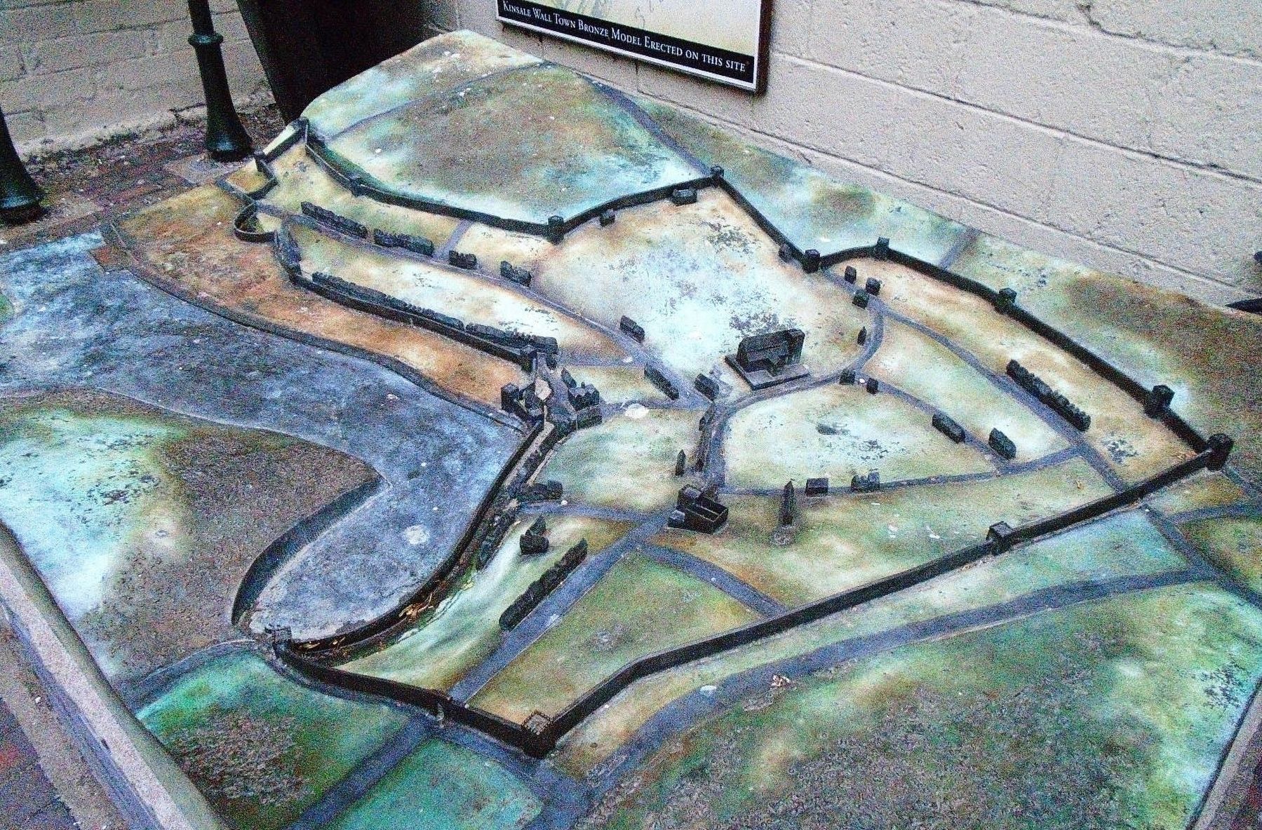
the town wall began construction in 1380. it remained standing until its destruction in 1690 while the gates remained in use until 1794.
Erected by Town of Kinsale,
Topics. This historical marker is listed in these topic lists: Forts and Castles • Man-Made Features • Settlements & Settlers • Wars, Non-US. A significant historical year for this entry is 1788.
Location. 51° 42.381′ N, 8° 31.427′ W. Marker is in Kinsale, Munster, in County Cork. Marker is at the intersection of Market Lane and Milk Market, on the right when traveling west on Market Lane. Touch for map. Marker is in this post office area: Kinsale, Munster P17 VY24, Ireland. Touch for directions.
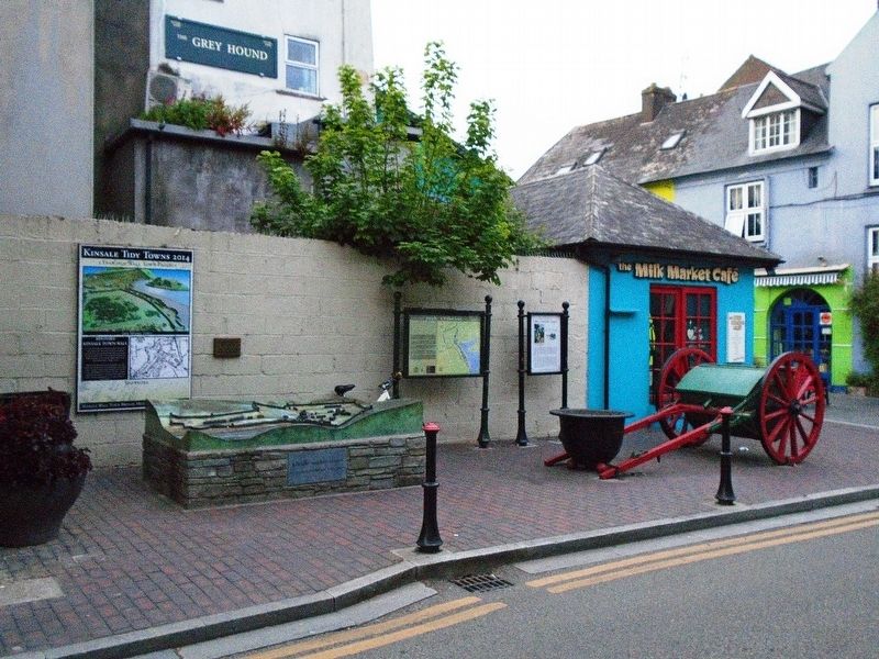
Other nearby markers. At least 8 other markers are within walking distance of this marker. The History of The Tumble Cart (here, next to this marker); Kinsale Town Wall (here, next to this marker); Peter Barry (within shouting distance of this marker); Múseum / Museum (within shouting distance of this marker); Lt Michael P Murphy (within shouting distance of this marker); The White House (within shouting distance of this marker); Nautical Artefacts at Kinsale Museum (within shouting distance of this marker); Blue Haven Old Fish Market Wall Restoration (within shouting distance of this marker). Touch for a list and map of all markers in Kinsale.
Regarding Kinsale - A Walled Town. The marker uses all lower case text and some stylized Gaelic letters, which make for awkward reading.
Also see . . .
1. History of Kinsale. (Submitted on July 25, 2019, by William Fischer, Jr. of Scranton, Pennsylvania.)
2. 1601 The Battle of Kinsale. (Submitted on July 25, 2019, by William Fischer, Jr. of Scranton, Pennsylvania.)
Credits. This page was last revised on July 25, 2019. It was originally submitted on July 25, 2019, by William Fischer, Jr. of Scranton, Pennsylvania. This page has been viewed 651 times since then and 90 times this year. Photos: 1. submitted on July 25, 2019, by William Fischer, Jr. of Scranton, Pennsylvania. 2, 3. submitted on July 24, 2019, by William Fischer, Jr. of Scranton, Pennsylvania.


