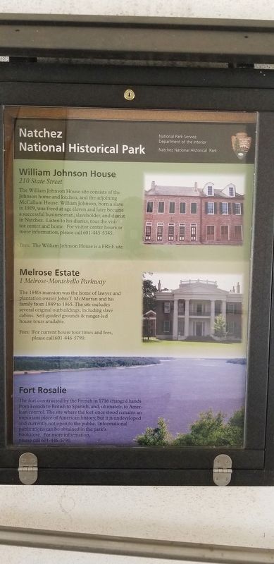
Natchez National Historical Park
William Johnson House
210 State Street
The William Johnson House site consists of the Johnson home and kitchen, and the adjoining McCallum House. William Johnson, born a slave in 1809, was freed at age eleven and later became a successful businessman, slaveholder, and diarist in Natchez. Listen to his diaries, tour the visitor center and home. For visitor center hours or more information, please call 601-445-5345.
Fees: The William Johnson House is a FREE site.
Melrose Estate
1 Melrose-Montebello Parkway
The 1840s mansion was home of lawyer and plantation owner John T. McMurran and his family from 1849 to 1865. The site includes several original outbuildings, including slave cabins. Self guided grounds & ranger-led house tours available.
Fees: For current tour times and fees, please call 601-446-5790.
Fort Rosalie
The fort constructed by the French in 1716 changed hands from French to British to Spanish, and, ultimately, to American control. The site where the fort once stood remains an important piece of American history, but it is undeveloped and currently not open to the public. Informational publications can be obtained in the park's bookstore. For more information, please call 601-446-5790.
Erected by National Park
Topics. This historical marker is listed in these topic lists: Notable Places • Parks & Recreational Areas.
Location. 31° 33.292′ N, 91° 24.706′ W. Marker is in Natchez, Mississippi, in Adams County. Marker can be reached from the intersection of South Canal Street and John R. Junkin Drive (U.S. 84/425), on the right when traveling south. Touch for map. Marker is at or near this postal address: 640 South Canal Street, Natchez MS 39120, United States of America. Touch for directions.
Other nearby markers. At least 8 other markers are within walking distance of this marker. Bridging the Mississippi (within shouting distance of this marker); Natchez (within shouting distance of this marker); The European Struggle for Control (about 300 feet away, measured in a direct line); The French in North America (about 300 feet away); The Introduction of Slavery in the Natchez District (about 300 feet away); The Natchez People (about 300 feet away); The French Build a Fort and a Colony (about 800 feet away); French Retaliation & the Second Fort Rosalie (approx. 0.2 miles away). Touch for a list and map of all markers in Natchez.
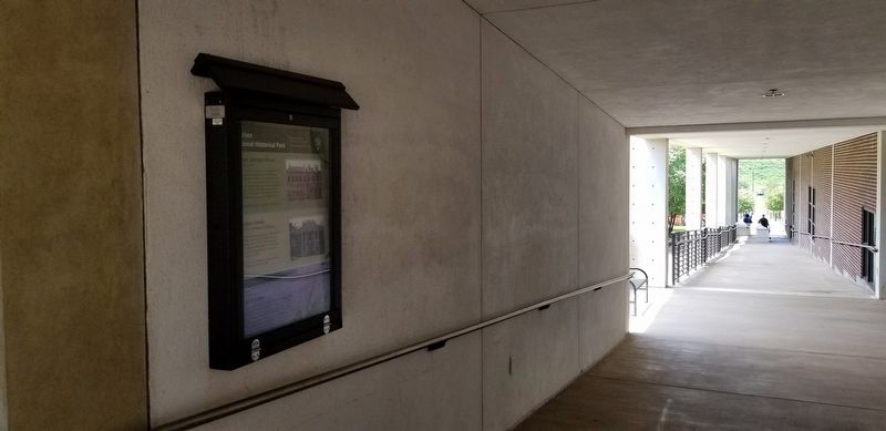
More about this marker. Located in an outdoor walk through at the Natchez Visitors Reception Center.
Credits. This page was last revised on June 11, 2020. It was originally submitted on July 26, 2019, by Cajun Scrambler of Assumption, Louisiana. This page has been viewed 433 times since then and 108 times this year. Photos: 1, 2. submitted on July 26, 2019.

