Moorefield in Nicholas County, Kentucky — The American South (East South Central)
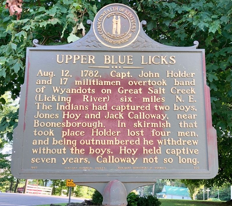
Upper Blue Licks
Erected 1965 by Kentucky Historical Society, Kentucky Department of Highways. (Marker Number 856.)
Topics and series. This historical marker is listed in these topic lists: Native Americans • Waterways & Vessels. In addition, it is included in the Kentucky Historical Society series list. A significant historical date for this entry is August 12, 1782.
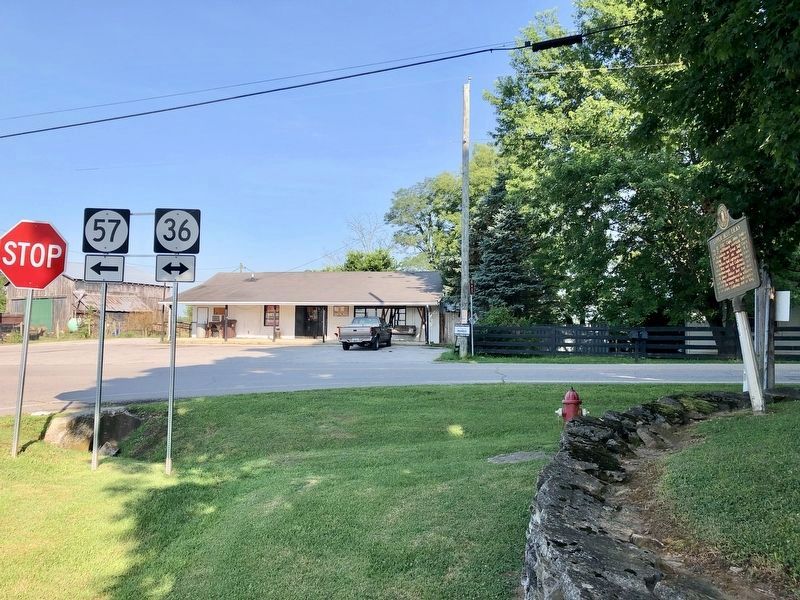
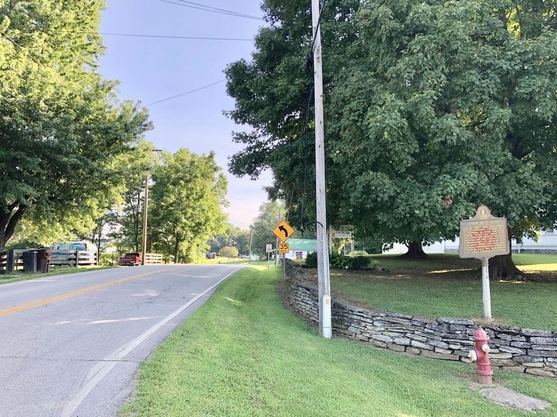
Location. 38° 16.468′ N, 83° 55.83′ W. Marker is in Moorefield, Kentucky, in Nicholas County. Marker is at the intersection of Moorefield Road (Kentucky Route 36) and Upper Lick Road (Kentucky Route 57), on the right when traveling north on Moorefield Road. Located in front of the Moorefield United Methodist Church. Touch for map. Marker is at or near this postal address: 135 Upper Lick Road, Carlisle KY 40311, United States of America. Touch for directions.
Other nearby markers. At least 8 other markers are within 8 miles of this marker, measured as the crow flies. Joe Creason (approx. 4.1 miles away); Henry Tureman Allen (approx. 5 miles away); Old Concord Church (approx. 5.8 miles away); County Name's Sake (approx. 5.9 miles away); Dr. Charles W. Mathers 1856-1937 / Nicholas County Benefactor (approx. 5.9 miles away); Carlisle Passenger Depot (approx. 5.9 miles away); Sherburne Bridge (approx. 6.9 miles away); Edward Boone (approx. 7.9 miles away).
Credits. This page was last revised on July 27, 2019. It was originally submitted on July 27, 2019, by Mark Hilton of Montgomery, Alabama. This page has been viewed 348 times since then and 34 times this year. Photos: 1, 2, 3. submitted on July 27, 2019, by Mark Hilton of Montgomery, Alabama.


