Beaver Park
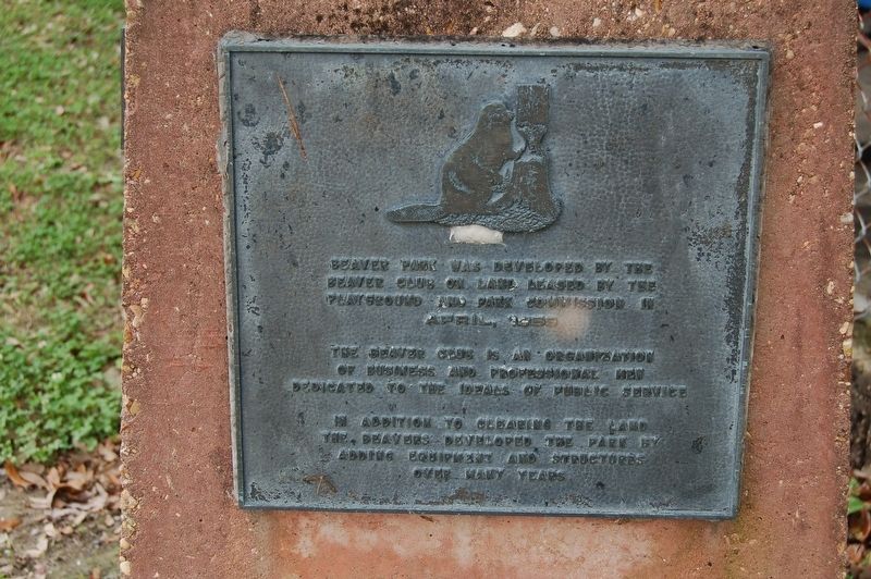
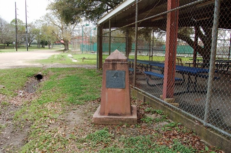
Beaver Park was developed by the Beaver Club on land leased by the Playground and Park Commission in April 1959.
The Beaver Club is an organization of business and professional men dedicated to the ideals of public service.
In addition to clearing the land the Beavers developed the park by adding equipment and structures over many years.
Topics. This historical marker is listed in these topic lists: Fraternal or Sororal Organizations • Parks & Recreational Areas.
Location. 30° 12.759′ N, 91° 59.877′ W. Marker is in Lafayette, Louisiana, in Lafayette Parish. Marker is on Fisher Road west of Surrey Street (Highway 728-8), on the right when traveling east. Touch for map. Marker is at or near this postal address: 500 Fisher Road, Lafayette LA 70508, United States of America. Touch for directions.
Other nearby markers. At least 8 other markers are within walking distance of this marker. Vermilion River (approx. 0.2 miles away); Coussan House (approx. 0.2 miles away); Vermilionville Historical Timeline (approx. 0.2 miles away); Historic Village Map (approx. 0.2 miles away); a different marker also named Vermilionville Historical Timeline (approx. 0.2 miles away); Bayou Vermilion District (approx. ¼ mile away); Beau Bassin House (approx. ¼ mile away); School House (approx. ¼ mile away). Touch for a list and map of all markers in Lafayette.
Also see . . .
Credits. This page was last revised on November 24, 2022. It was originally submitted on July 27, 2019, by Cajun Scrambler of Assumption, Louisiana. This page has been viewed 355 times since then and 18 times this year. Photos: 1, 2. submitted on July 27, 2019.

