Mohawk in Herkimer County, New York — The American Northeast (Mid-Atlantic)
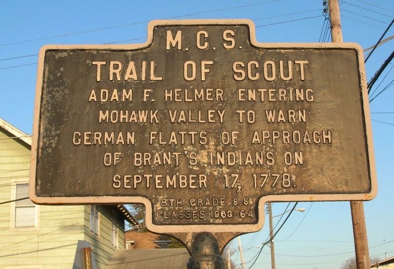
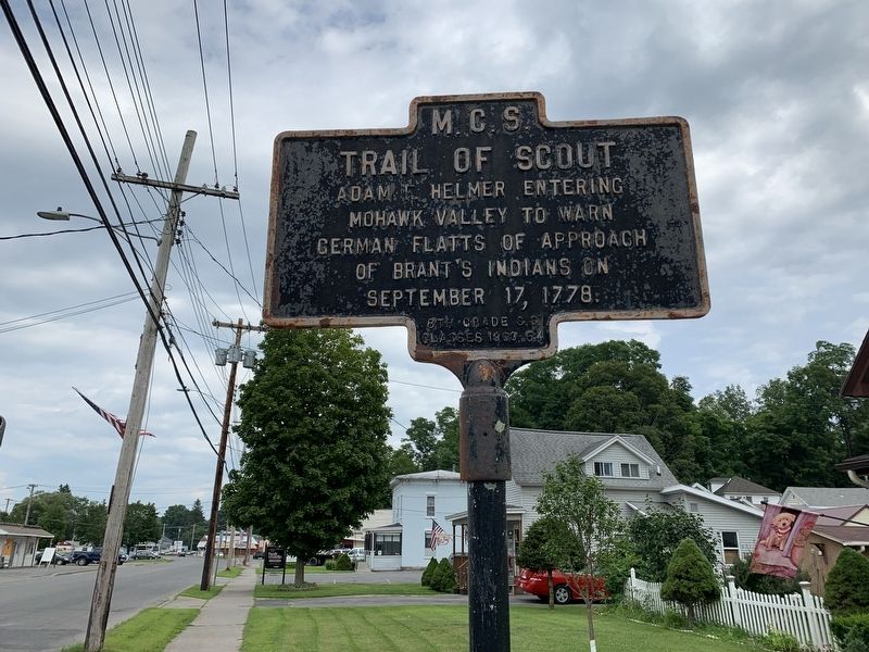
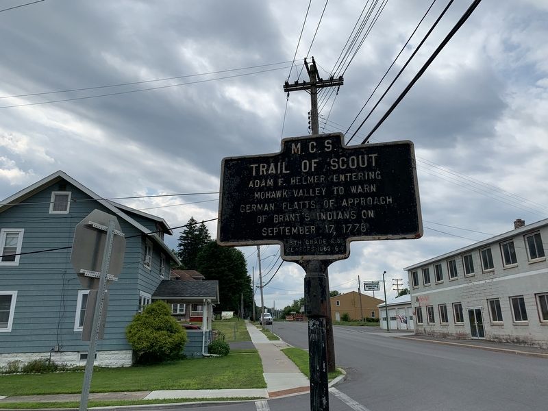
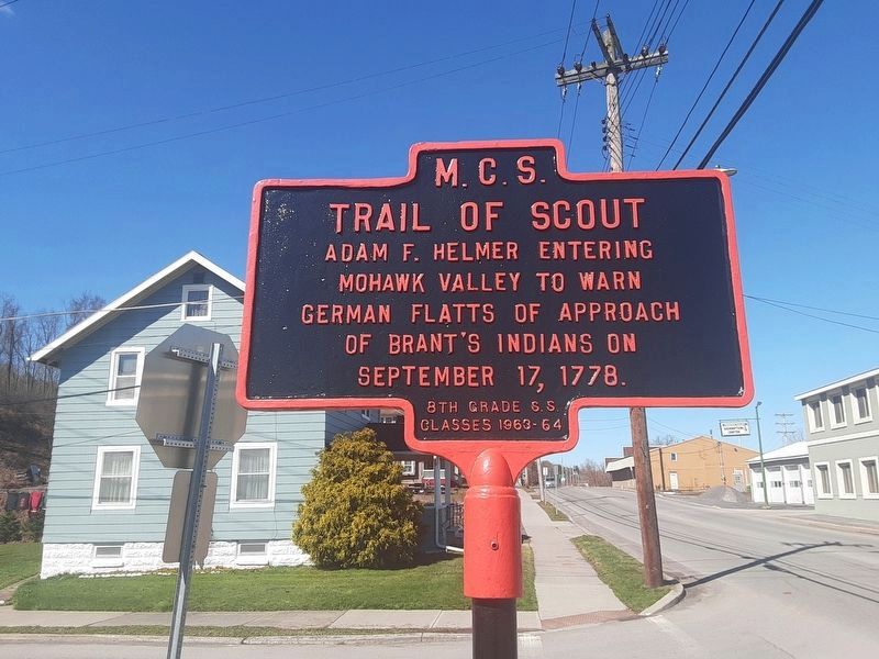
Trail of Scout
Photographed by Howard C. Ohlhous, April 22, 2007
1. Trail of Scout Marker
Erected 1963 by Mohawk Central Schools 8th Grade S.S. Classes of 1963-64.
Topics. This historical marker is listed in these topic lists: Indigenous Peoples and Communities • Settlements & Settlers • War, US Revolutionary. A significant historical date for this entry is September 17, 1778.
Location. 43° 0.58′ N, 75° 1.059′ W. Marker is in Mohawk, New York, in Herkimer County. It is at the intersection of West Main Street and Warren Road, on the left when traveling west on West Main Street. Touch for map. Marker is in this post office area: Mohawk NY 13407, United States of America. Touch for directions.

Regionally, this marker is in Upstate New York and in the Mohawk Valley. It is also in the American Northeast and in the Mid-Atlantic. Globally, it is in North America, the Great North Woods, the Western Hemisphere, the Western World, and the Anglosphere. Historically, it finds itself in what was once the Haudenosaunee (Iroquois) Confederacy, New Netherland, and one of the original Thirteen Colonies.
this page online
Other nearby markers. At least 8 other markers are within 2 miles of this marker, measured as the crow flies: Mohawk’s First Fire Station (approx. 0.7 miles away); Mohawk’s First Public School (approx. 0.7 miles away); F.E. Spinner Home (approx. 0.9 miles away); Ilion Civil War Memorial (approx. 1.1 miles away); Mohawk War Memorial (approx. 1.2 miles away); Ilion Great War Memorial (approx. 1.2 miles away); Challenger Memorial (approx. 1.4 miles away); Early Village Burying Ground (approx. 1.8 miles away). Touch for a list and map of all markers in Mohawk.
Photographed by Steve Stoessel, July 28, 2019
2. Trail of Scout Marker
Photographed by Steve Stoessel, July 28, 2019
3. Trail of Scout Marker
Photographed by Scott J. Payne, April 7, 2024
4. Trail of Scout Marker
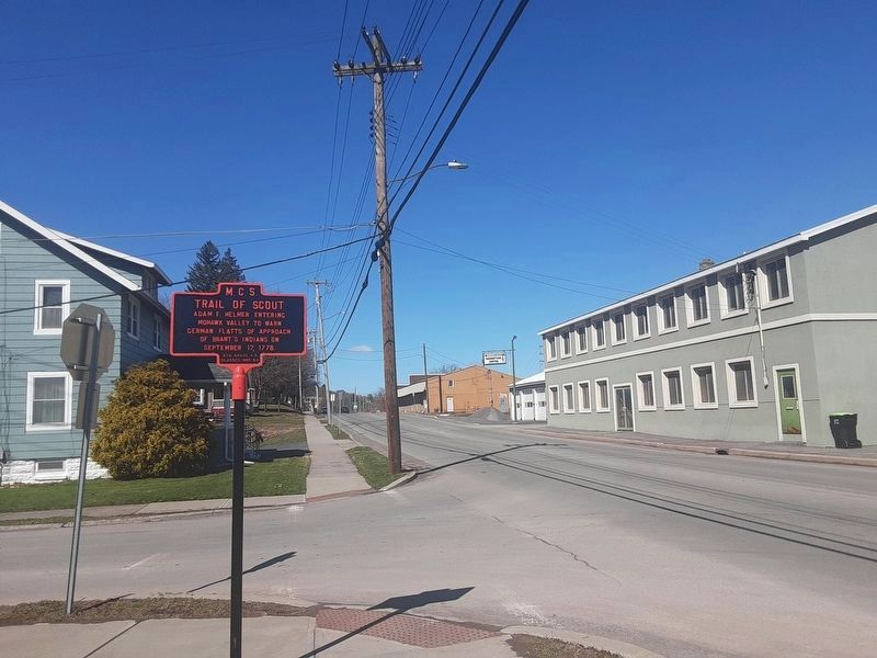
Photographed by Scott J. Payne, April 7, 2024
5. Trail of Scout Marker
Credits. This page was last revised on May 3, 2024. It was originally submitted on July 30, 2019, by Steve Stoessel of Niskayuna, New York. This page has been viewed 769 times since then and 44 times this year. Photos: 1. submitted on December 11, 2019, by Howard C. Ohlhous of Duanesburg, New York. 2, 3. submitted on July 30, 2019, by Steve Stoessel of Niskayuna, New York. 4, 5. submitted on May 2, 2024, by Scott J. Payne of Deposit, New York. • Bill Pfingsten was the editor who published this page.
