Whitesville in Boone County, West Virginia — The American South (Appalachia)
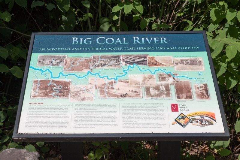
Big Coal River
An Important and Historical Water Trail Serving Man and Industry
— Coal Heritage Trail —
Originally named ‘Walhondecepe’ by the Delaware Indians, the three rivers that make up the Coal River Watershed have served as a vital transportation link to the Kanawha giver. The Indians used the rivers as a favorite hunting and fishing site.
Since the first settlers came to the region the rivers have served not only as a river trail but as a source of fishing, recreation, drinking water, social life and an important site for baptisms.
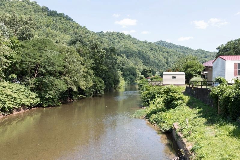
The Big Coal River is formed near Whitesville where two streams, Clear Fork and Marsh Fork come together to create the Big Coal River. The tributaries begin in Raleigh County at an elevation of over 3,000 feet. The river flows generally northwest past the towns of Sylvester, Seth, Racine and Ashford, West Virginia. The region’s availability of large seams of cannel coal, which could be used to produce a very desirable coal oil, eventually replaced whale oil for lighting in the urban areas of the US, created. This was the first coal-based economic boom for the region. The Big Coal River, Little Coal River, and Coal River provided a river trail which was enhanced in the mid 1850’s by the construction of a 34 mile lock and dam system. The Coal River Navigation Company of Virginia originally invested $208,000 to complete the system. At its height over 800,000 bushels of coal were shipped annually.
Beginning around 1800, flax mills and gristmills were built and operated along the three Coal Rivers. The mills provided an important source for the production of textiles in addition to staples such as flour and cornmeal.
Lumber was harvested throughout the Coal River Watershed once the upper lock and dams had washed away. Transporting lumber from the upper reaches of the Watershed was a dangerous and difficult process requiring high water and large log rafts to transport the logs to sawmills throughout the region. Finished lumber mills proliferated in the St. Albans area during this period as did flour processors and broom and barrel manufacturers.
Coal mining throughout the watershed region began in the early 1800’s and continues today. The history of coal mining in the region is well documented and has defined the growth and development of the region.
The use of the river for transportation of coal changed dramatically after the construction of rail lines throughout the region. The rivers’ role in the region once rail lines had been built was that of providing water for processing, cleaning and serving community needs for drinking water, fishing, recreation and sanitation.
River recreation and community social life have been centered on the Coal Rivers since the earliest settlers arrived in the region. The bountiful supply of fish, mussels, fresh water clams, crayfish, otter, beaver, muskrat, blue heron, duck, geese and other wildlife made the rivers a natural source of food for all residents. Baptisms were conducted in the rivers by ministers from the many churches located in the area. The rivers’ winding path through the mountains naturally forms hundreds of sandy beach areas. The beaches were and remain the center of social events and regular recreational swimming activities for the local citizens. The utilization of the river as a center of recreation for the youth growing up in the region is the basis of the term “river rats” which locals embrace fondly.
The information and pictures have been provided with permission from: Bill Dean, Author of Coal Steamboats, Timber and Trains; Coal River Group Collection: Boone County, WV Historical Photos: The Armstrong Funeral Home Collection: The Gilmer County Historical Society and The Sherman Tide Yearbook Collection.
Erected by the
Coal River Group and the National Coal Heritage Area Coal Heritage Trail.
Topics. This historical marker is listed in these topic lists: Industry & Commerce • Natural Features • Natural Resources • Waterways & Vessels. A significant historical year for this entry is 1800.
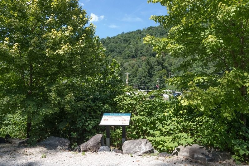
Location. 37° 58.76′ N, 81° 32.036′ W. Marker is in Whitesville, West Virginia, in Boone County. Marker is at the intersection of Coal River Road (West Virginia Route 3) and Bridge Avenue, on the left when traveling east on Coal River Road. Touch for map. Marker is in this post office area: Whitesville WV 25209, United States of America. Touch for directions.
Other nearby markers. At least 8 other markers are within 13 miles of this marker, measured as the crow flies. West Virginia Coal Mine Disasters (a few steps from this marker); Upper Big Branch Mine Explosion (a few steps from this marker); a different marker also named Upper Big Branch Mine Explosion (a few steps from this marker); Upper Big Branch Miners Memorial (about 300 feet away, measured in a direct line); Battle of Coal River (approx. 0.2 miles away); The Whitesville School (approx. 0.2 miles away); William S. Dunbar (approx. 11.4 miles away); Mary Ingles (approx. 13.1 miles away). Touch for a list and map of all markers in Whitesville.
More about this marker. The marker shows a map of the Big Coal River and its principal towns as a background for a number of photographs that are captioned as follows: “Typical river transportation,” “Sproul roundhouse,” “A baptism in the Big Coal River,” “Seth Lumber Mill,” “Orgas coal town,” “The Big Coal River is formed at Whitesville,” “Alum Creek Sand Plant,” “Cutaway to show lock & crib dam construction,” “Nellis coal town,” “Peytona Beach,” “Lens Creek Mountain near Racine,” “Early hunting and fishing along the Coal Rivers,” “Montcoal Mine,” and “Peachtree Mill.”
Credits. This page was last revised on August 5, 2019. It was originally submitted on August 5, 2019, by J. J. Prats of Powell, Ohio. This page has been viewed 623 times since then and 45 times this year. Photos: 1, 2, 3. submitted on August 5, 2019, by J. J. Prats of Powell, Ohio.


