Rushville in Fairfield County, Ohio — The American Midwest (Great Lakes)
Formerly Enslaved People
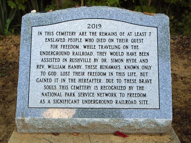
Photographed by William Fischer, Jr., August 3, 2019
1. Formerly Enslaved People Marker

7 enslaved people who died on their quest
for freedom. While traveling on the
Underground Railroad, they would have been
assisted in Rushville by Dr. Simon Hyde and
Rev. William Hanby. These runaways, known only
to God, lost their freedom in this life, but
gained it in the hereafter. Due to these brave
souls this cemetery is recognized by the
National Park Service Network to Freedom
as a significant Underground Railroad site.
Erected 2019.
Topics and series. This historical marker is listed in these topic lists: Abolition & Underground RR • African Americans • Cemeteries & Burial Sites. In addition, it is included in the Network to Freedom series list.
Location. 39° 45.567′ N, 82° 25.698′ W. Marker is in Rushville, Ohio, in Fairfield County. It is on Basore Road NE 0.1 miles south of Cincinnati Zanesville Road NE (U.S. 22), on the right when traveling south. Monument is in Pleasant Hill (AKA Rushville) Cemetery. Touch for map. Marker is in this post office area: Rushville OH 43150, United States
this page online

Regionally, this marker is in the Hocking Hills and in the Columbus Metropolitan Area. It is also in the American Midwest and in the Corn Belt. Globally, it is in North America, the Western Hemisphere, the Western World, and the Anglosphere. Historically, it finds itself in what was once the Haudenosaunee (Iroquois) Confederacy, the territory of the Mississippian Culture, and the Northwest Territory.
Other nearby markers. At least 8 other markers are within 6 miles of this marker, measured as the crow flies: Joe Selby (here, next to this marker); The Underground Railroad in Rushville / Joseph Selby and Darling Nelly Gray (approx. 0.4 miles away); Bremen World Wars Memorial (approx. 3.9 miles away); Wesley Chapel (approx. 3.9 miles away); Bremen Oil Boom (approx. 4 miles away); First Mass in Ohio (approx. 4.8 miles away); Randolph Mitchell House / Reading Township, Perry County (approx. 5.3 miles away); Opal C. [nee Hatlestad] Kistler (approx. 5.4 miles away). Touch for a list and map of all markers in Rushville.
Also see . . . Pleasant Hill Cemetery at National Underground Railroad Network to Freedom.
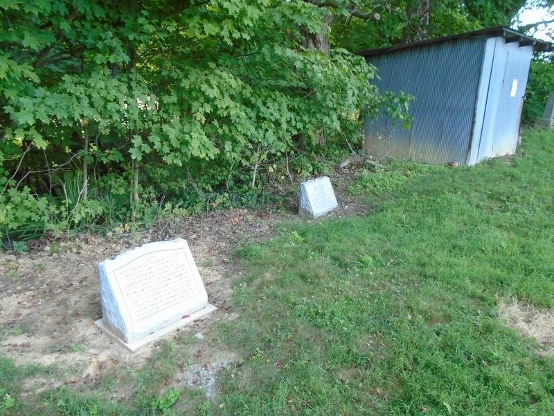
Photographed by William Fischer, Jr., August 3, 2019
2. Formerly Enslaved People Marker
Credits. This page was last revised on August 6, 2019. It was originally submitted on August 6, 2019, by William Fischer, Jr. of Reynoldsburg, Ohio. This page has been viewed 511 times since then and 27 times this year. Photos: 1, 2. submitted on August 6, 2019, by William Fischer, Jr. of Reynoldsburg, Ohio.
