Carroll in Fairfield County, Ohio — The American Midwest (Great Lakes)
Bessie Benson Memorial Park History
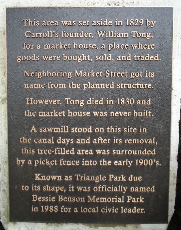
Carroll's founder, William Tong,
for a market house, a place where
goods were bought, sold, and traded.
Neighboring Market Street got its
name from the planned structure.
However, Tong died in 1830 and
the market house was never built.
A sawmill stood on this site in
the canal days and after its removal,
this tree-filled area was surrounded
by a picket fence into the early 1900's.
Known as Triangle Park due
to its shape, it was officially named
Bessie Benson Memorial Park
in 1988 for a local civic leader.
Topics. This historical marker is listed in these topic lists: Industry & Commerce • Parks & Recreational Areas • Settlements & Settlers • Women. A significant historical year for this entry is 1829.
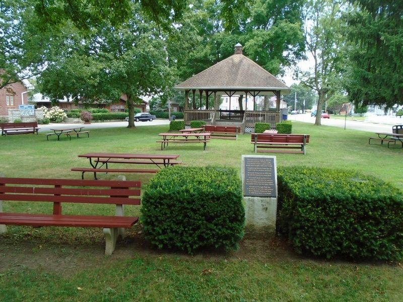
Location. 39° 47.908′ N, 82° 42.157′ W. Marker is in Carroll, Ohio, in Fairfield County. Marker is at the intersection of Center Street and Market Street, on the right when traveling east on Center Street. Marker is in Bessie Benson Memorial Park. Touch for map . Marker is in this post office area: Carroll OH 43112, United States of America. Touch for directions.
Other nearby markers. At least 8 other markers are within 6 miles of this marker, measured as the crow flies. Bell From Schoolhouse on High Street (here, next to this marker); Carroll War Memorials (a few steps from this marker); Wall of Remembrance (within shouting distance of this marker); Junction of the Ohio Erie and Lancaster Lateral Canals (about 400 feet away, measured in a direct line); Carroll (approx. ¼ mile away); Ohio's Canal System (approx. 2.2 miles away); VFW Post 3761 (approx. 5.3 miles away); Neptune P2V-5F (Sp-2E) 131522 (approx. 5.3 miles away). Touch for a list and map of all markers in Carroll.
Also see . . .
1. Bessie O. Norris Benson. Find A Grave website entry (Submitted on August 7, 2019, by William Fischer, Jr. of Scranton, Pennsylvania.)
2. Carroll Area Historical Society - Fairfield County, Ohio. Society website homepage (Submitted on July 17, 2022, by Larry Gertner of New York, New York.)
Credits. This page was last revised on July 17, 2022. It was originally submitted on August 7, 2019, by William Fischer, Jr. of Scranton, Pennsylvania. This page has been viewed 359 times since then and 36 times this year. Photos: 1, 2. submitted on August 7, 2019, by William Fischer, Jr. of Scranton, Pennsylvania.

