Solebury Township near New Hope in Bucks County, Pennsylvania — The American Northeast (Mid-Atlantic)
John Pidcock
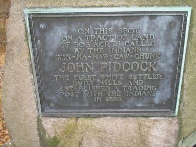
on a tract of land
of 505 acres called
by the Indians
Win-Na-Haw-Caw-Chunk
John Pidcock
the first white settler
built mills and
established a trading
post with the Indians
in 1684
Topics. This historical marker is listed in these topic lists: Colonial Era • Notable Places. A significant historical year for this entry is 1684.
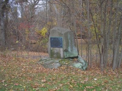
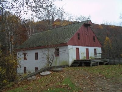
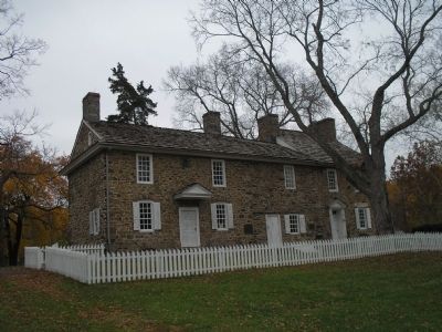
Location. 40° 19.803′ N, 74° 56.219′ W. Marker is near New Hope, Pennsylvania, in Bucks County. It is in Solebury Township. Marker can be reached from Aquetong Road, on the right when traveling east. Marker is located in front of the Thompson-Neely House, in the Thompson's Mill section of Washington Crossing Historical Park. Touch for map. Marker is in this post office area: New Hope PA 18938, United States of America. Touch for directions.
Other nearby markers. At least 8 other markers are within 2 miles of this marker, measured as the crow flies. Thompson-Neely House (within shouting distance of this marker); Red Cedar (about 300 feet away, measured in a direct line); Thompson-Neely Bridge (about 600 feet away); Unknown Soldiers of the Continental Army (approx. 0.2 miles away); Grandchild of Cambridge Elm (approx. 0.4 miles away); George Nakashima (approx. 1.2 miles away); Goat Hill Overlook (approx. 1.6 miles away in New Jersey); Howell Living History Farm (approx. 2 miles away in New Jersey). Touch for a list and map of all markers in New Hope.
Also see . . . Washington's Crossing. Washington Crossing Historic Park. (Submitted on November 22, 2008, by Bill Coughlin of Woodland Park, New Jersey.)
Credits. This page was last revised on February 7, 2023. It was originally submitted on November 22, 2008, by Bill Coughlin of Woodland Park, New Jersey. This page has been viewed 1,248 times since then and 59 times this year. Photos: 1, 2, 3, 4. submitted on November 22, 2008, by Bill Coughlin of Woodland Park, New Jersey.


