Federalsburg in Caroline County, Maryland — The American Northeast (Mid-Atlantic)
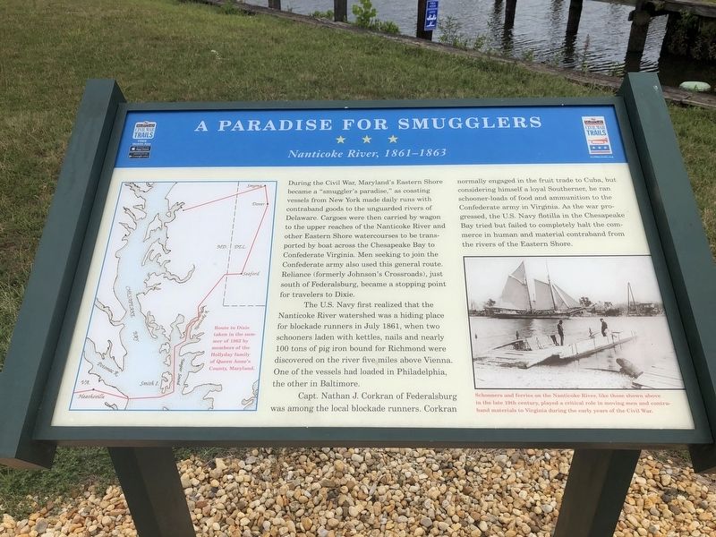
A Paradise For Smugglers
Nanticoke River, 1861-1863
During the Civil War, Maryland's Eastern Shore became a "smuggler's paradise," as coasting vessels from New York made daily runs with contraband goods to the unguarded rivers of Delaware. Cargoes were then carried by wagon to the upper reaches of the Nanticoke River and other Eastern Shore watercourses to the transported by boat across the Chesapeake Bay to Confederate Virginia. Men seeking to join the Confederate army also used this general route. Reliance (formerly Johnson's Crossroads), just south of Federalsburg, became a stopping point for travelers to Dixie.
The U.S. Navy first realized that the Nanticoke River watershed was a hiding place for blockade runners in July 1861, when two schooners laden with kettles, nails and nearly 100 tons of pig iron bound for Richmond were discovered on the river five miles above Vienna. One of the vessels had loaded in Philadelphia, the other in Baltimore.
Capt. Nathan J. Corkran of Federalsburg was among the local blockade runners. Corkran normally enraged in the fruit trade to Cuba, but consisting himself a loyal Southerner, he ran schooner-loads of food and ammunition to the Confederate army in Virginia. As the war progressed, the U.S. Navy flotilla in the Chesapeake Bay tried but failed to completely halt the commerce in human and material contraband from the rivers of the Eastern Shore.
Erected by Maryland Civil War Trails.
Topics and series. This historical marker is listed in these topic lists: War, US Civil • Waterways & Vessels. In addition, it is included in the Maryland Civil War Trails series list. A significant historical month for this entry is July 1861.
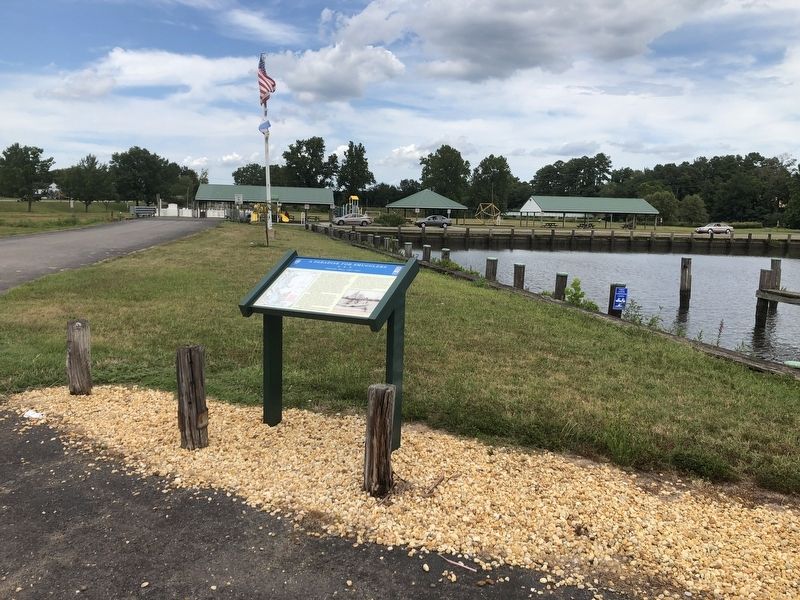
Location. 38° 41.277′ N, 75° 46.267′ W. Marker is in Federalsburg, Maryland, in Caroline County. Marker is on South Main Street (Maryland Route 308) north of Smith Street, on the right when traveling north. Touch for map. Marker is at or near this postal address: 2012 Federalsburg Highway, Federalsburg MD 21632, United States of America. Touch for directions.
Other nearby markers. At least 8 other markers are within 2 miles of this marker, measured as the crow flies. Federalsburg Hometown Veterans Memorial (approx. ¼ mile away); Marshyhope Creek Bridge (approx. half a mile away); The Historic Nanticoke Lodge Masonic Temple (approx. half a mile away); These Dead Shall Not Have Died in Vain (approx. 0.7 miles away); Former Clubhouse at Federal Field (approx. ¾ mile away); Veterans Memorial (approx. 0.8 miles away); Civil War Memorial (approx. 0.9 miles away); Exeter / Idlewild Mill (approx. 1.1 miles away). Touch for a list and map of all markers in Federalsburg.
Credits. This page was last revised on August 25, 2022. It was originally submitted on August 10, 2019, by Devry Becker Jones of Washington, District of Columbia. This page has been viewed 378 times since then and 40 times this year. Photos: 1, 2. submitted on August 10, 2019, by Devry Becker Jones of Washington, District of Columbia.

