Stevensville in Queen Anne's County, Maryland — The American Northeast (Mid-Atlantic)
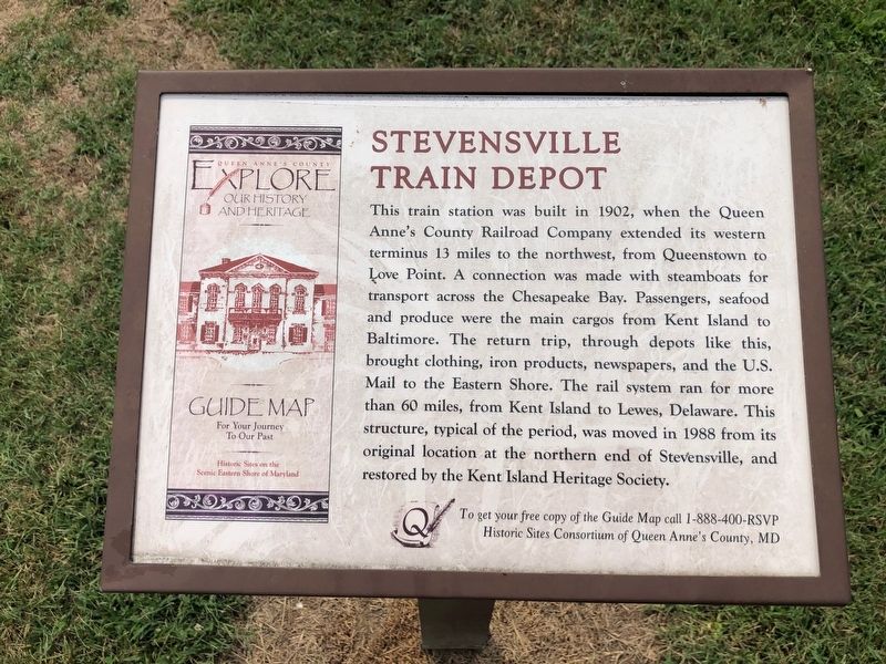
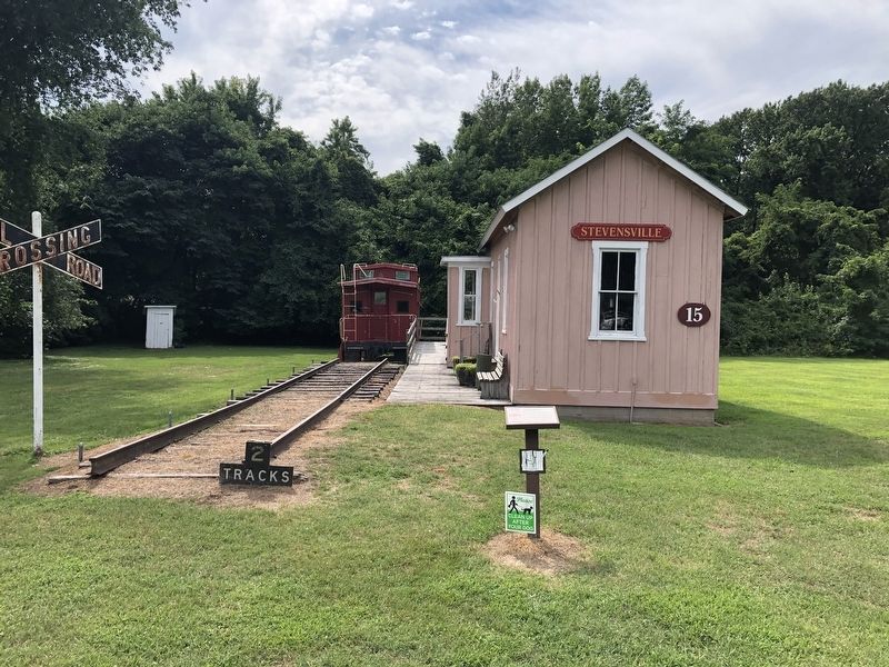
Stevensville Train Depot
Erected by Historic Sites Consortium of Queen Anne's County, Maryland.
Topics. This historical marker is listed in these topic lists: Communications • Industry & Commerce • Railroads & Streetcars • Waterways & Vessels. A significant historical year for this entry is 1902.
Location. 38° 58.887′ N, 76° 18.92′ W. Marker is in Stevensville, Maryland, in Queen Anne's County. It is on Cockey Lane north of Love
this page online

Regionally, this marker is on the Eastern Shore. It is also in the American Mid-Atlantic, on the Delmarva Peninsula, in the Tidewater, in the Chesapeake Bay Region, and on the Eastern Seaboard. Globally, it is in the North Atlantic Region, North America, the Western Hemisphere, the Western World, and the Anglosphere. Historically, it finds itself in what was once one of the original Thirteen Colonies and also the Antebellum South.
Other nearby markers. At least 8 other markers are within walking distance of this marker: Cray House (a few steps from this marker); Country Store (within shouting distance of this marker); Stevensville Bank (within shouting distance of this marker); Grollman's Store (within shouting distance of this marker); Old Stevensville Post Office (within shouting distance of this marker); Christ Church (about 600 feet away, measured in a direct line); Site of Stevensville Station (approx. half a mile away); Kent Island
Credits. This page was last revised on August 12, 2019. It was originally submitted on August 11, 2019, by Devry Becker Jones of Washington, District of Columbia. This page has been viewed 539 times since then and 37 times this year. Photos: 1, 2. submitted on August 11, 2019, by Devry Becker Jones of Washington, District of Columbia.
