Society Hill in Philadelphia in Philadelphia County, Pennsylvania — The American Northeast (Mid-Atlantic)
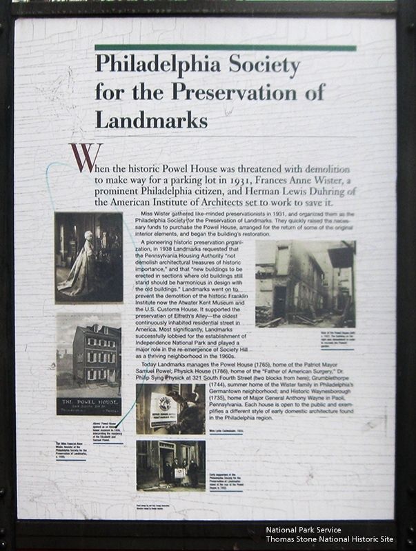
Philadelphia Society for the Preservation of Landmarks
National Park Service, Thomas Stone National Historic Site, January 6, 2019
1. Philadelphia Society for the Preservation of Landmarks Marker
Miss Wister gathered like-minded preservationist in 1931, and organized them as the Philadelphia Society for the Preservation of Landmarks. They quickly raised the necessary funds to purchase the Powel House, arranged for the return of some of the original interior elements, and began the building's restoration.
A pioneering historic preservation organization, in 1938 requested that the Pennsylvania House Authority "not demolish architectural treasures of historic importance," and that "new buildings to be erected in sections where old buildings still stand should be harmonious in design with the old buildings." Landmarks went on to prevent the demolition of the historic Franklin Institute now the Atwater Kent Museum and the U.S. Customs House. It supported the preservation of Elfreth's Alley—the oldest continually inhabited residential street in America. Most significantly, Landmarks
this page online
Today Landmarks manages the Powel House (1765), home of the Patriot Mayor Samuel Powel; Physick House (1786), home of the "Father of American Surgery," Dr. Philip Syng at 321 South Fourth Street (two blocks from here); Grumblethorpe (1744), summer home of the Wister family in Philadelphia's Germantown neighborhood; and Historic Waynesborough (1735), home of Major General Anthony Wayne in Paoli, Pennsylvania. Each house is open to the public and exemplifies a different style of early domestic architecture found in the Philadelphia region.
(Two black and white images.)
Above: Powell House opened as a historic house museum in 1938, interpreting the residency of Elizabeth and Samuel Powel.
(Black and white image.)
View of the Powel House c. 1951. The building on the right was demolished in order to recreate the Powels' garden.
(Image of woman with white sign and image of four people in doorway) (Captions are unreadable.)
Erected by Philadelphia Society
National Park Service, Thomas Stone National Historic Site, January 6, 2019
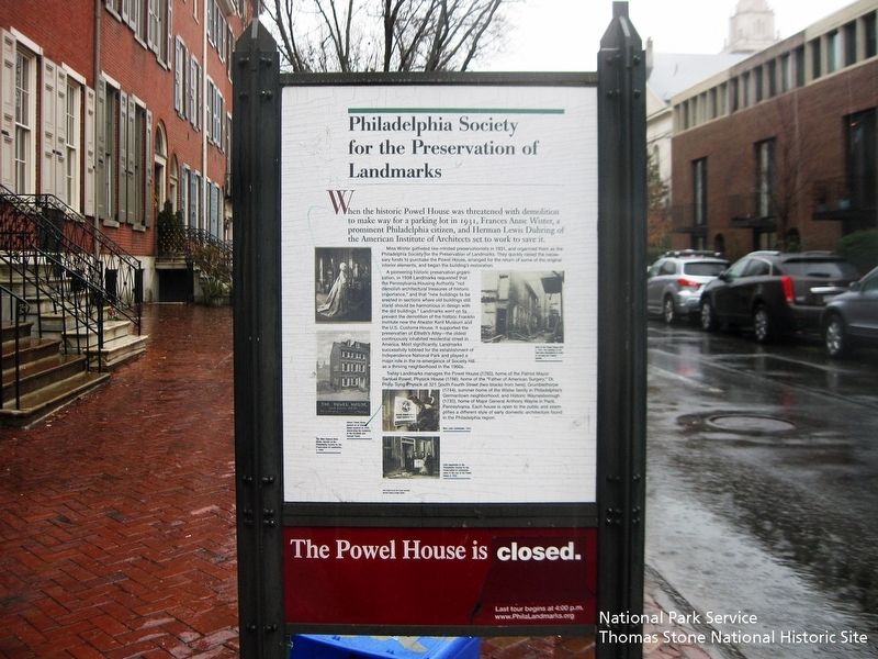
2. Philadelphia Society for the Preservation of Landmarks Marker
Viewing marker from the south.
Topics. This historical marker is listed in these topic lists: Architecture • Colonial Era • War, US Revolutionary.
Location. 39° 56.746′ N, 75° 8.807′ W. Marker is in Philadelphia, Pennsylvania, in Philadelphia County. It is in Society Hill. It is on South Third Street 0.1 miles north of Spruce Street, on the right when traveling north. Touch for map. Marker is at or near this postal address: 242, Philadelphia PA 19106, United States of America. Touch for directions.

Regionally, this marker is in Southeast Pennsylvania. It is also in the American Northeast and in the Mid-Atlantic. Globally, it is in North America, the Western Hemisphere, the Western World, and the Anglosphere. Historically, it finds itself in what was once the Haudenosaunee (Iroquois) Confederacy, New Netherland, and one of the original Thirteen Colonies.
Other nearby markers. At least 8 other markers are within walking distance of this marker: Powel House (here, next to this marker); The House of Samuel Powel (here, next to this marker); The Home of Juan de Miralles
National Park Service, Thomas Stone National Historic Site, January 6, 2019
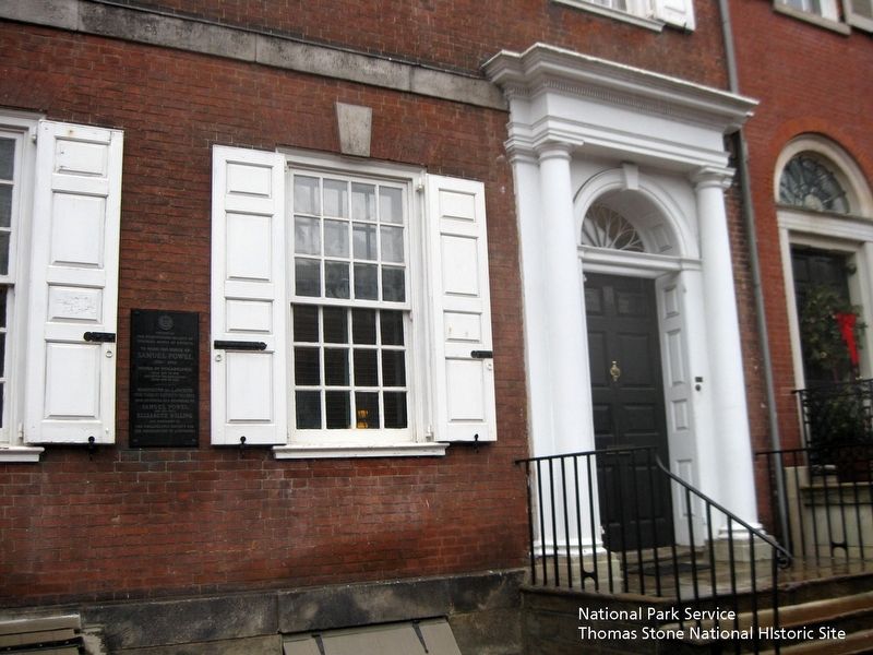
3. Powel House exterior.
Viewing house from the east.
Also see . . . PHiladelphia Society for the Preservation of Landmarks. (Submitted on August 12, 2019.)
New York Public Library Digital Collection
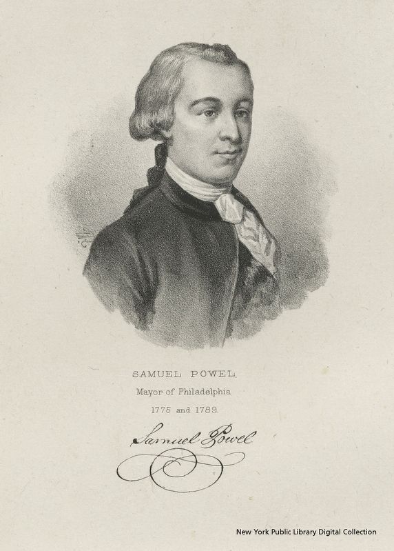
4. Samuel Powel, Mayor of Philadelphia
National Park Service, Thomas Stone National Historic Site, January 6, 2019
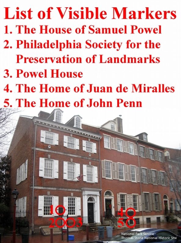
5. List of Visible Markers
Viewing markers from the east.
Credits. This page was last revised on February 2, 2023. It was originally submitted on August 12, 2019. This page has been viewed 332 times since then and 30 times this year. Photos: 1, 2, 3, 4, 5. submitted on August 12, 2019. • Bill Pfingsten was the editor who published this page.
