Santa Paula in Ventura County, California — The American West (Pacific Coastal)
Portolá Expedition
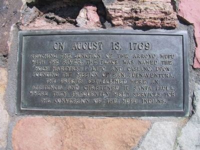
On August 13, 1769 reaching the junction of the Arroyo Mupu with the river, the place was named the Holy Martyrs, Ipólito and Casiano. Upon founding the Mission of San Buenaventura, the priests established here an asistencia and christened it Santa Paula, where they frequently held services for the conversion of the Mupu Indians.
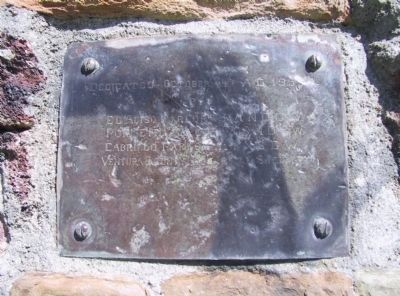
Erected 1955 by El Aliso Parlor No. 314 NDGW, Poinsettia Parlor No. 318 NDGW, Cabrillo Parlor No. 114 NSGW and Ventura County Historical Society. (Marker Number 727.)
Topics and series. This historical marker is listed in these topic lists: Churches & Religion • Exploration • Native Americans. In addition, it is included in the California Historical Landmarks, the Native Sons/Daughters of the Golden West, and the Portolá Expedition series lists. A significant historical year for this entry is 1769.
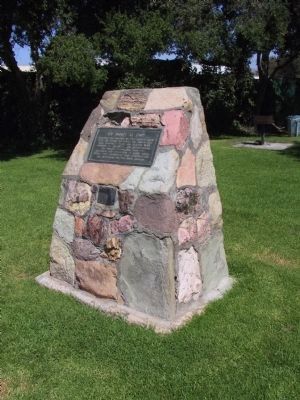
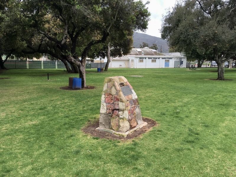
Location. 34° 21.351′ N, 119° 3.052′ W. Marker is in Santa Paula, California, in Ventura County. Marker is on East Harvard Boulevard, on the right when traveling east. Marker is located northeast of the Santa Paula Boys Club Recreation Center in Harding Park. Touch for map. Marker is at or near this postal address: 1458 East Harvard Boulevard, Santa Paula CA 93060, United States of America. Touch for directions.
Other nearby markers. At least 8 other markers are within walking distance of this marker. Birthplace of Union Oil Company of California (approx. half a mile away); Canyon School (approx. 0.6 miles away); Saint Francis Dam Disaster Memorial (approx. 0.6 miles away); The Depot, Santa Paula (approx. 0.6 miles away); Glen Tavern Inn (approx. 0.6 miles away); The Town Clock (approx. 0.7 miles away); Water Well Drilling Rig (approx. 0.7 miles away); McKevett School (approx. 0.7 miles away). Touch for a list and map of all markers in Santa Paula.
More about this marker. This is California Historical Landmark No. 727.
Credits. This page was last revised on May 12, 2022. It was originally submitted on December 28, 2011, by Michael Kindig of Elk Grove, California. This page has been viewed 1,113 times since then and 28 times this year. Last updated on August 13, 2019, by Craig Baker of Sylmar, California. Photos: 1, 2. submitted on December 28, 2011, by Michael Kindig of Elk Grove, California. 3. submitted on March 15, 2020, by Craig Baker of Sylmar, California. 4. submitted on December 28, 2011, by Michael Kindig of Elk Grove, California. • Bill Pfingsten was the editor who published this page.


