Ride the Rails
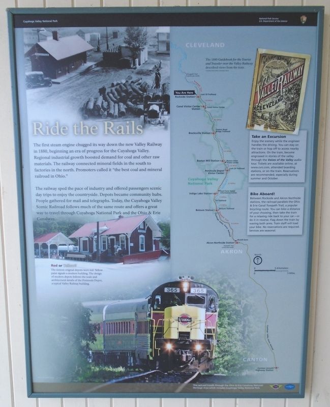
The first steam engine chugged its way down the new Valley Railway in 1880, beginning an era of progress for the Cuyahoga Valley. Regional industrial growth boosted demand for coal and other raw materials. The railway connected mineral fields in the south to factories in the north. Promoters called it "the best coal and mineral railroad in Ohio."
The railway sped the pace of industry and offered passengers scenic day trips to enjoy the countryside. Depots became community hubs. People gathered for mail and telegraphs. Today, the Cuyahoga Valley Scenic Railroad follows much of the same route and offers a great way to travel through Cuyahoga National Park and the Ohio & Erie Canalway.
Red or Yellow?
The sixteen original depots were red. Yellow paint signals a modern building. The design of modern depots follows the scale and architectural details of the Peninsula Depot, a typical Valley Railway building.
[Details on right side of marker]
The 1880 Guidebook for the Tourist and Traveler over the Valley Railway described views from the train.
Take an Excursion
Enjoy the scenery
Bike Aboard!
Between Rockside and Akron Northside stations, the railroad parallels the Ohio & Erie Canal Towpath Trail, a popular bicycling route. You can bike a distance of your choosing, then take the train for a relaxing ride back to your car - or do it in reverse. Flag down the train by waving both arms. Train staff will load your bike. No reservations are required. Services are seasonal.
The railroad travels through the Ohio & Erie Canalway National Heritage Area which includes Cuyahoga Valley National Park.
Erected by National Park Service.
Topics. This historical marker is listed in these topic lists: Industry & Commerce • Man-Made Features • Parks & Recreational Areas • Railroads & Streetcars. A significant historical year for this entry is 1880.
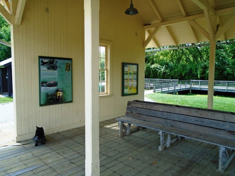
Location. 41° 23.554′ N, 81° 37.85′ W. Marker is in Independence, Ohio, in Cuyahoga County. Marker is on the wall of the Cuyahoga
Other nearby markers. At least 8 other markers are within walking distance of this marker. Industrial Cleveland (within shouting distance of this marker); Route to the Coalfields (within shouting distance of this marker); Growing the community (approx. 0.4 miles away); Late Prehistoric Period (approx. ¾ mile away); South Park Village and the Whittlesley Tradition (approx. ¾ mile away); The Quarry Era (approx. 0.9 miles away); Old Stone Church of Independence Sesquicentennial (approx. 0.9 miles away); "Veterans Plaza" (approx. one mile away). Touch for a list and map of all markers in Independence.
Also see . . .
1. Valley Railway at Wikipedia. (Submitted on August 15, 2019, by William Fischer, Jr. of Scranton, Pennsylvania.)
2. Cuyahoga Valley Scenic Railroad. (Submitted on August 15, 2019, by William Fischer, Jr. of Scranton, Pennsylvania.)
3. Cuyahoga Valley National Park. (Submitted on August 15, 2019, by William Fischer, Jr. of Scranton, Pennsylvania.)
4. Ohio and Erie Canalway National Heritage Area. (Submitted on August 15, 2019, by William Fischer, Jr. of Scranton, Pennsylvania.)
Credits. This page was last revised on August 15, 2019. It was originally submitted on August 15, 2019, by William Fischer, Jr. of Scranton, Pennsylvania. This page has been viewed 219 times since then and 16 times this year. Photos: 1, 2. submitted on August 15, 2019, by William Fischer, Jr. of Scranton, Pennsylvania.

