Near London in Laurel County, Kentucky — The American South (East South Central)
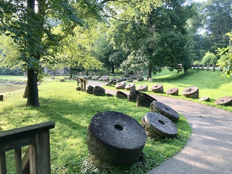
Millstones Through The Ages
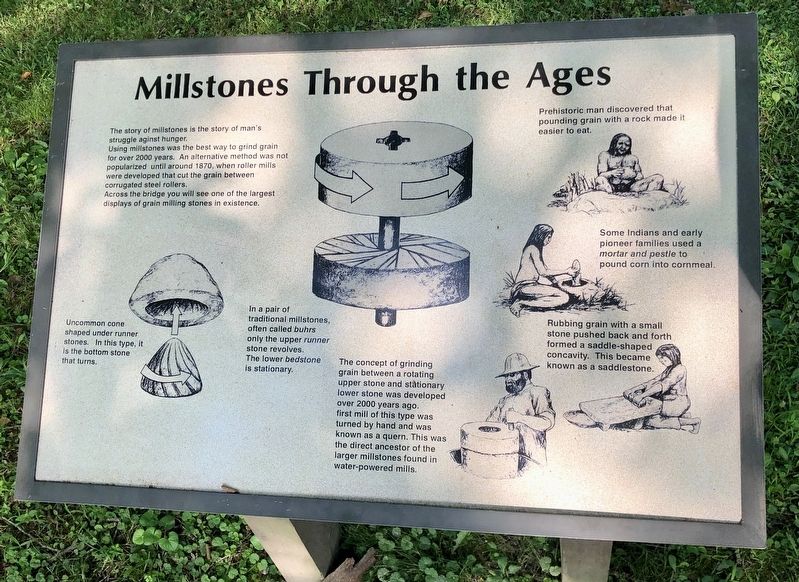
Using millstones was the best way to grind grain for over 2000 years. An alternative method was not popularized until around 1870, when roller mills were developed that cut the grain between corrugated steel rollers.
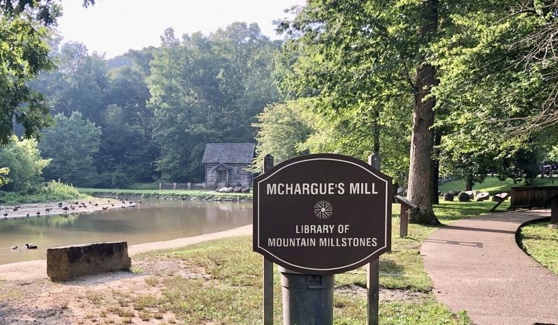
Across the bridge you will see one of the largest displays of grain milling stones in existence.
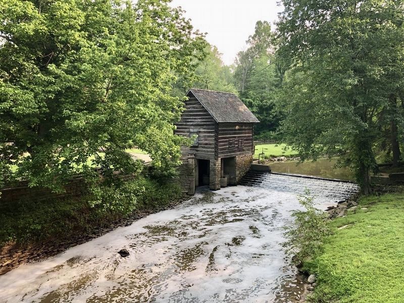
The concept of grinding grain between a rotating upper stone and stationary lower stone was developed over 2000 years ago. first mill of this type was turned by hand and was known as a quern. This was the direct ancestor of the larger millstones found in water-powered mills.
Drawing captions
Left bottom: Uncommon cone shaped under runner stones. In this type, it is the bottom stone that turns.
Middle: In a pair of traditional millstones often called buhrs only the upper runner stone revolves. The lower bedstone is stationary.
Right top: Prehistoric man discovered that pounding grain with a rock made it easier to eat.
Right middle: Some Indians and early pioneer families used a mortar and pestle to pound corn into cornmeal.
Right bottom: Rubbing grain with a small stone pushed back and forth formed a saddle-shaped concavity. This became known as a saddlestone.
Topics. This historical marker is listed in these topic lists: Industry & Commerce • Parks & Recreational Areas. A significant historical year for this entry is 2000.
Location. 37° 5.059′ N, 84° 3.317′ W. Marker is near London, Kentucky, in Laurel County. Marker can be reached from Levi Jackson Road (Kentucky Route 1006) west of Mountain Life Museum Road, on the left when traveling west. Located at Levi Jackson Park Mill. Touch for map. Marker is at or near this postal address: Levi Jackson Road, London KY 40744, United States of America. Touch for directions.
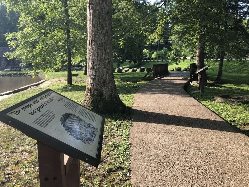
Other nearby markers. At least 8 other markers are within walking distance of this marker. "The people went and gathered it and ground it in mills." (here, next to this marker); Dressing a Millstone (within shouting distance of this marker); Where did Millstones Come From? (within shouting distance of this marker); Daniel Boone's Trail (about 500 feet away, measured in a direct line); McNitt's Defeat (about 600 feet away); Defeated Camp Burial Ground (about 600 feet away); Levi Jackson Historic Stump (approx. 0.2 miles away); Laurel County (approx. ¼ mile away). Touch for a list and map of all markers in London.
Credits. This page was last revised on August 18, 2019. It was originally submitted on August 18, 2019, by Mark Hilton of Montgomery, Alabama. This page has been viewed 665 times since then and 95 times this year. Photos: 1, 2, 3, 4, 5. submitted on August 18, 2019, by Mark Hilton of Montgomery, Alabama.
