Near London in Laurel County, Kentucky — The American South (East South Central)
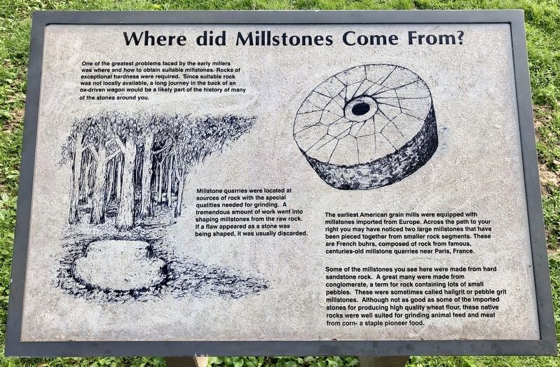
Where did Millstones Come From?
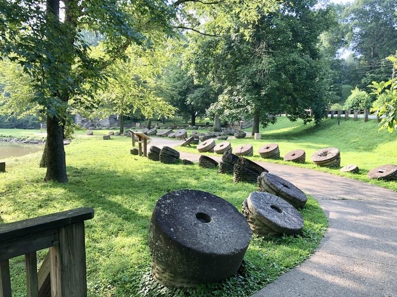
Millstone quarries were located at sources of rock with the special qualities needed for grinding. A tremendous amount of work went into shaping millstones from the raw rock. If a flaw appeared as a stone was being shaped, it was usually discarded.
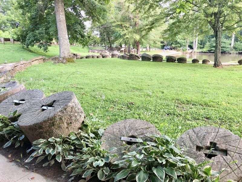
The earliest American grain mills were equipped with millstones imported from Europe. Across the path to your right you may have noticed two large millstones that have been pieced together from smaller rock segments. These are French buhrs, composed of rock from famous, centuries-old millstone quarries near Paris, France.
Some of the millstones you see here were made from hard sandstone rock. A great many were made from conglomerate, a term for rock containing lots of small pebbles. These were sometimes called hailgrit or pebble grit millstones. Although not as good as some of the imported stones for producing high quality wheat flour, these native rocks were well suited for grinding animal feed and meal from corn- a staple pioneer food.
Topics. This historical marker is listed in these topic lists: Industry & Commerce • Notable Places • Parks & Recreational Areas.
Location. 37° 5.049′ N, 84° 3.303′ W. Marker is near London, Kentucky, in Laurel County. Marker can be reached from Levi Jackson Road (Kentucky Route 1006) west of Mountain Life Museum Road, on the right when traveling west. Located at Levi Jackson Park Mill. Touch for map. Marker is at or near this postal address: Levi Jackson Road, London KY 40744, United States of America. Touch for directions.
Other nearby markers. At least 8 other markers are within walking distance of this marker. Dressing a Millstone (here, next to this marker); Millstones Through The Ages (within shouting distance of this marker); "The people went and gathered it and ground it in mills." (within shouting distance of this marker); Daniel Boone's Trail (about 400 feet away, measured in a direct line); McNitt's Defeat (about 500 feet away); Defeated Camp Burial Ground (about 500 feet away); Levi Jackson Historic Stump (about 800 feet away); Laurel County (approx. ¼ mile away). Touch for a list and map of all markers in London.
Photographed By Mark Hilton, July 13, 2019
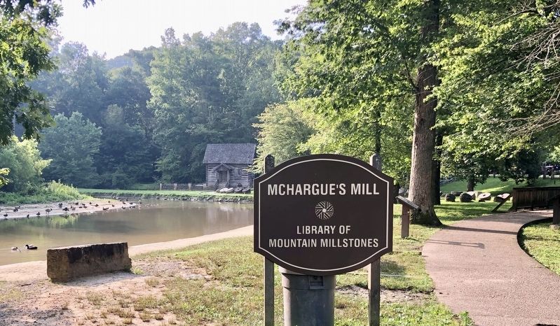
3. Millstones and the marker (farthest of two).
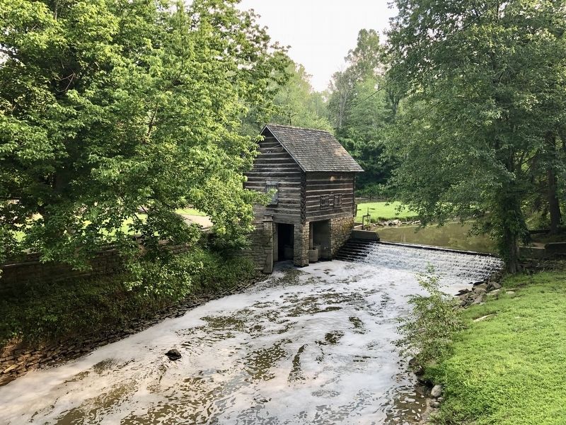
A few of these millstones are of European origin, having been brought to America by early immigrants. The stones in the mill itself date back to 1805, and were carried by wagon or ox cart over the original Wilderness Road.
Credits. This page was last revised on August 18, 2019. It was originally submitted on August 18, 2019, by Mark Hilton of Montgomery, Alabama. This page has been viewed 1,030 times since then and 164 times this year. Photos: 1, 2, 3, 4, 5. submitted on August 18, 2019, by Mark Hilton of Montgomery, Alabama.
