Summersville Dam in Nicholas County, West Virginia — The American South (Appalachia)
Flood Control
— Summersville Lake —
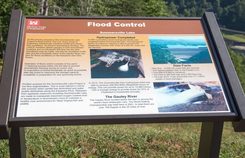
As the primary purpose of the Summersville Lake Project is flood control, the U.S. Army Corps of Engineers continuously monitors rainfall and stream flow conditions. To prevent downstream flooding, the USACE monitors stream gauges in both downstream locations and on tributaries that flow into the lake. Operations may be made, not only for conditions in the lake and the immediate reach of the Gauley River, but also for flood conditions on the Kanawha and Ohio Rivers.
Operation of flood control consists of two parts: (1) retaining excess inflow into the lake to prevent downstream flooding during an event, and, (2) evacuation of stored floodwater as quickly as possible after the event to maximize the storage capacity availability in preparation for any upcoming events.
Another purpose for the Summersville Lake Project is low-flow augmentation. This is most utilized in mid to late summer when rainfall has diminished and water quality diminishes along the Kanawha River. Releases from upstream reservoirs including Summersville Lake, are made to manipulate dissolved oxygen content and/or temperature in downstream rivers to maintain a healthy river environment for West Virginia fish and wildlife.
Hydropower Completed. In 2001 a privately owned hydropower facility was completed below Summersville Dam. The hydropower facility at maximum capacity is able to produce 80 Megawatts of power with a flow of 4,300 cfs (cubic feet per second). In 2015, The Summersville Dam hydropower plant was able to produce 208,000 MWh (MegaWatt hours) of energy. This can provide power for up to 14,989 homes. This is enough energy to provide power for 57% of Charleston's households annually.
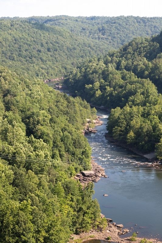
The Gauley River. The Gauley River located below the dam is among the World’s best whitewater runs. The World Rafting Championship was held here in 2001. In total there are over 100 Rapids in the 25 miles of river.
Dam Facts. Max flow : 14,800 cfs (cubic feet per second) • 2nd highest earthen dam in the Eastern U.S. • Cost $48,075,800 to construct. • The Dam is 390 feet high and 2,280 feet long. • Through 2015, it has prevented over 771 million dollars in flood damages.
Topics. This historical marker is listed in these topic lists: Charity & Public Work • Waterways & Vessels. A significant historical year for this entry is 2001.
Location. 38° 13.37′ N, 80° 53.223′ W. Marker is in Summersville Dam, West Virginia, in Nicholas County. Marker is on Summersville Lake Road (West Virginia Route 129) 2.6 miles west of U.S. 19, on the right when traveling east. It is at the east side of the dam, across
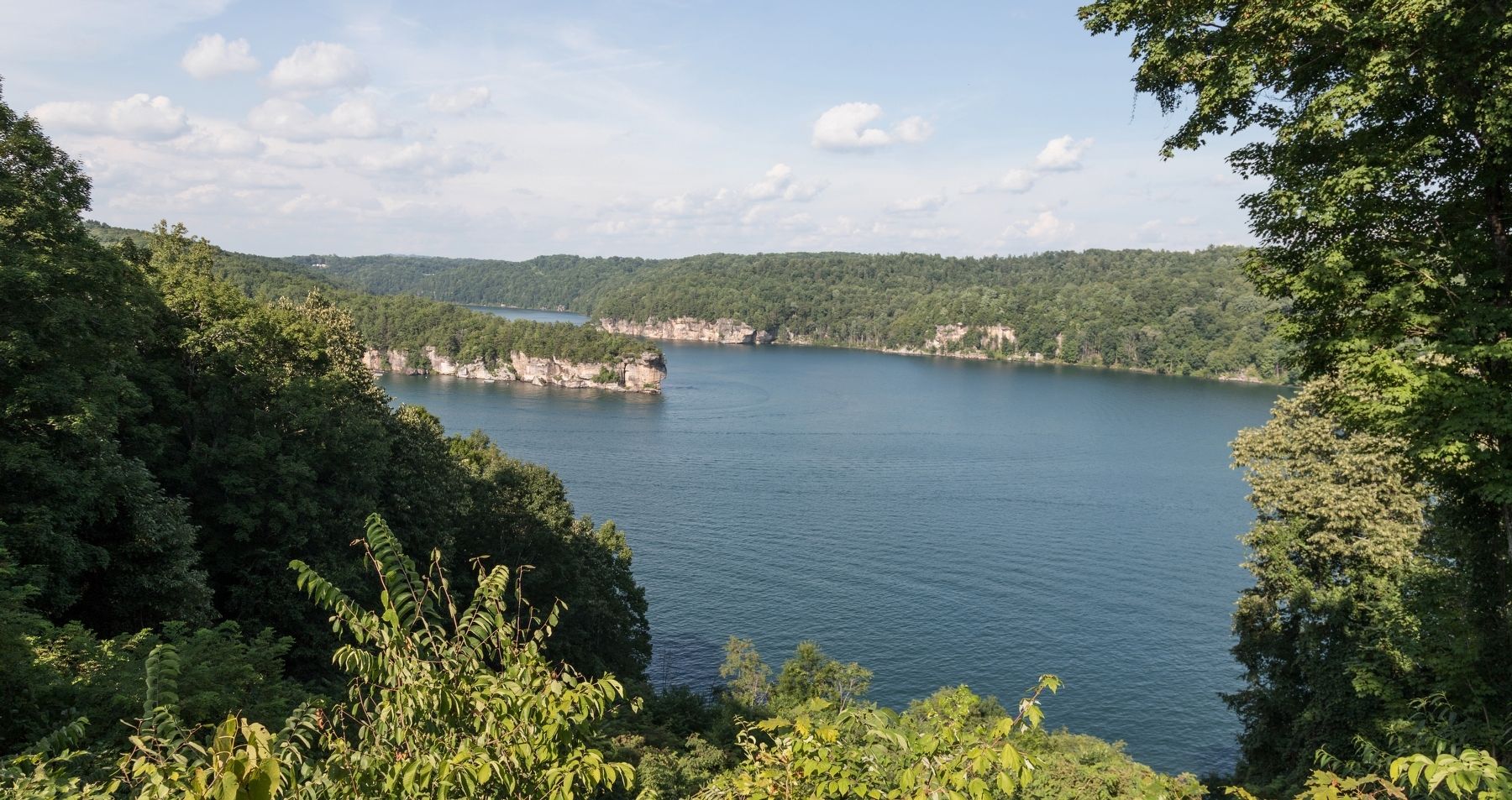
from the Summersville Lake overlook. Touch for map. Marker is in this post office area: Mount Nebo WV 26679, United States of America. Touch for directions.
Other nearby markers. At least 8 other markers are within 3 miles of this marker, measured as the crow flies. Running the River (here, next to this marker); Summersville Reservoir (within shouting distance of this marker); Hawks Nest Workers Memorial and Grave Site (approx. 2 miles away); Hawks Nest Tunnel Disaster Workers Grave Site (approx. 2.1 miles away); Hughes Ferry / Bridge (approx. 2.2 miles away); Fight At Ramsey’s Fort (approx. 2.4 miles away); Kesslers Cross Lanes (approx. 2˝ miles away); Cross Lanes Battle (approx. 2.7 miles away).
Also see . . . Most People Have No Idea There’s An Underwater Ghost Town Hiding In West Virginia. This web-page has photographs of Summersville Lake and photographs of the now-underwater town of Gad. Excerpt:
Summersville Lake is a popular attraction in Nicholas County, West Virginia, but few people know that there was once a town where the water is now.(Submitted on August 19, 2019.)
...
From the 1800s to 1960, the village of Gad existed where Summersville Lake is now. It was a farming community that many families called home.
Credits. This page was last revised on August 12, 2020. It was originally submitted on August 19, 2019, by J. J. Prats of Powell, Ohio. This page has been viewed 222 times since then and 15 times this year. Photos: 1, 2, 3, 4, 5. submitted on August 19, 2019, by J. J. Prats of Powell, Ohio.


