Fort Story in Virginia Beach, Virginia — The American South (Mid-Atlantic)
Cape Henry Railroads
Inscription.
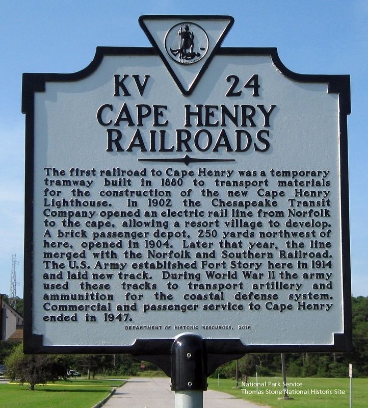
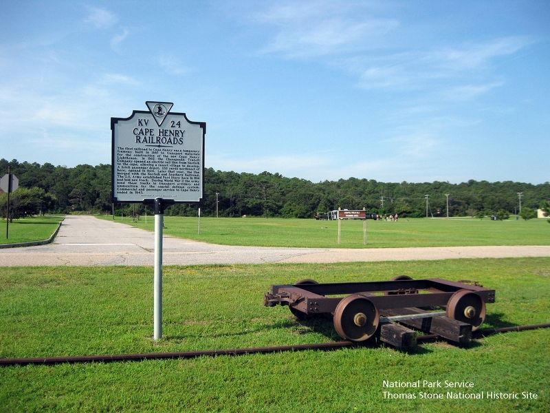
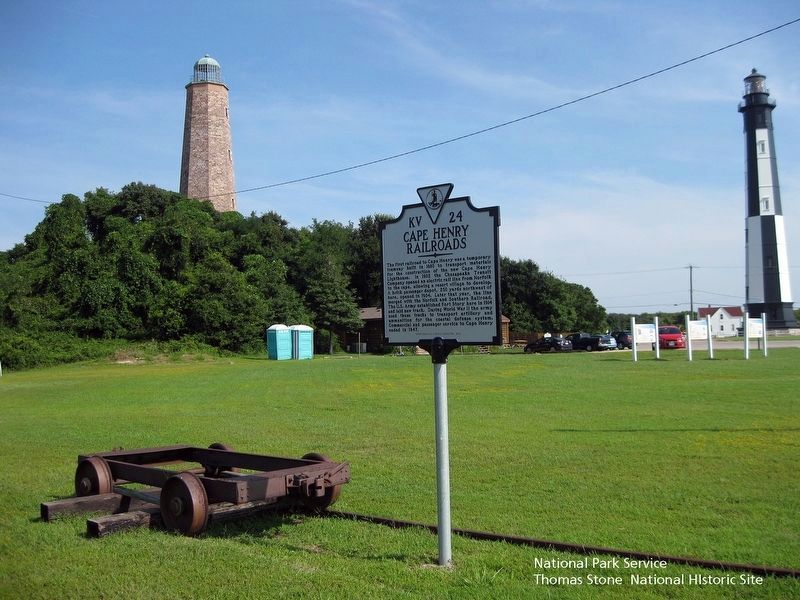
The first railroad to Cape Henry was a temporary tramway built in 1880 to transport materials for the construction of the new Cape Henry Lighthouse. In 1902 the Chesapeake Transit Company opened an electric rail line from Norfolk to the cape, allowing a resort village to develop. A brick passenger depot, 250 yards northwest of here, opened in 1904. Later that year, the line merged with the Norfolk and Southern Railroad. The U.S. Army established Fort Story here in 1914 and laid new track. During World War II the army used the tracks to transport artillery and ammunition for the coastal defense system. Commercial and passenger service to Cape Henry ended in 1947.
Erected 2016 by Department of Historic Resources. (Marker Number KV-24.)
Topics and series. This historical marker is listed in these topic lists: Parks & Recreational Areas • Railroads & Streetcars • War, World I • War, World II. In addition, it is included in the Virginia Department of Historic Resources (DHR) series list. A significant historical year for this entry is 1880.
Location. 36° 55.497′ N, 76° 0.453′ W. Marker is in Virginia Beach, Virginia. It is in Fort Story. Marker is at the intersection of Cebu Road and Sicily Road, on the right when traveling west on Cebu Road. Touch for map. Marker is in this post office area: Virginia Beach VA 23459, United States of America. Touch for directions.
Other nearby markers. At least 8 other markers are within walking distance of this marker. Fort Story (within shouting distance of this marker); Old Cape Henry Lighthouse (within shouting distance of this marker); British Naval Blockade and Cape Henry Lighthouse / The War of 1812 (about 300 feet away, measured in a direct line); History of Cape Henry Lighthouse (about 300 feet away); First Public Works Project of the United States Government (about 300 feet away); First Landing (about 400 feet away); Battle of the Capes 1781 (approx. 0.2 miles away); Cape Henry Memorial (approx. ¼ mile away). Touch for a list and map of all markers in Virginia Beach.
Also see . . . Railroads to Cape Henry in Virginia Beach get their place in history. The Virginian-Pilot (8/4/2017) (Submitted on August 19, 2019.)
Credits. This page was last revised on June 30, 2023. It was originally submitted on August 19, 2019. This page has been viewed 470 times since then and 59 times this year. Photos: 1, 2, 3. submitted on August 19, 2019. • Bernard Fisher was the editor who published this page.


