
Near Rainelle in Fayette County, West Virginia — The American South (Appalachia)
Sewell Mountain Campaign
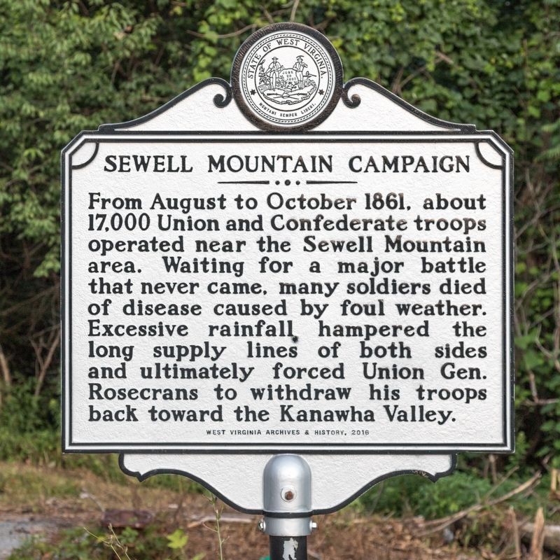
Photographed by J. J. Prats, July 14, 2019
1. Sewell Mountain Campaign Marker
Erected 2016 by West Virginia Archives and History.
Topics and series. This historical marker is listed in this topic list: War, US Civil. In addition, it is included in the West Virginia Archives and History series list. A significant historical month for this entry is October 1861.
Location. 37° 58.394′ N, 80° 49.158′ W. Marker is near Rainelle, West Virginia, in Fayette County. It is on Midland Trail 3.7 miles west of Rainelle, on the left when traveling west. Touch for map. Marker is in this post office area: Rainelle WV 25962, United States of America. Touch for directions.

Regionally, this marker is in the New River Gorge and in Greater Charleston Area. It is also in the American South, specifically in the Upper South, in Appalachia, and specifically
this page online
Other nearby markers. At least 8 other markers are within 9 miles of this marker, measured as the crow flies: "Lee Tree" (about 300 feet away, measured in a direct line); Gen. Robert E. Lee (approx. 0.2 miles away); Meadow River Lumber Company / United Methodist Church (approx. 2.3 miles away); Old Stone House (approx. 4 miles away); Andrew & Charles Lewis March (approx. 6 miles away); Rupert (approx. 8.3 miles away); Coal Miners Memorial (approx. 8.4 miles away); Camp Washington Carver (approx. 8½ miles away). Touch for a list and map of all markers in Rainelle.
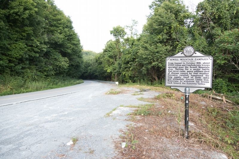
Photographed by J. J. Prats, July 14, 2019
2. Sewell Mountain Campaign Marker
Credits. This page was last revised on December 18, 2024. It was originally submitted on August 20, 2019, by J. J. Prats of Powell, Ohio. This page has been viewed 2,816 times since then and 251 times this year. Photos: 1, 2. submitted on August 20, 2019, by J. J. Prats of Powell, Ohio.
