Near Fort Oglethorpe in Catoosa County, Georgia — The American South (South Atlantic)
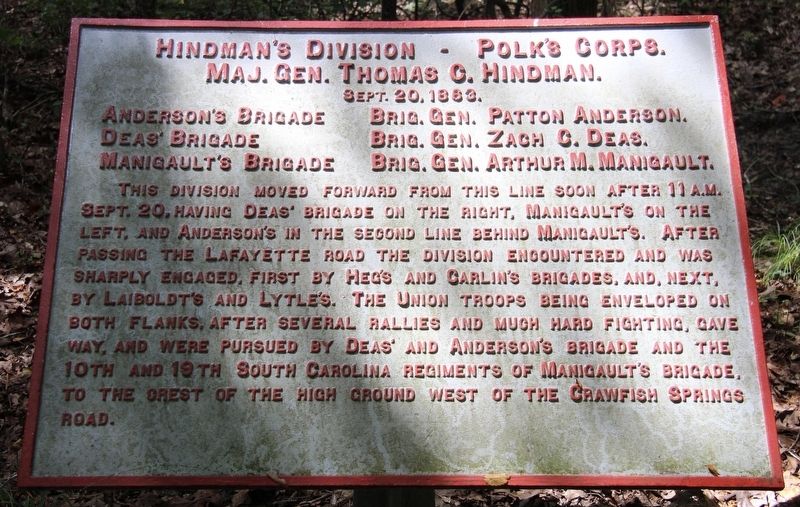
Hindman's Division
Polk's Brigade
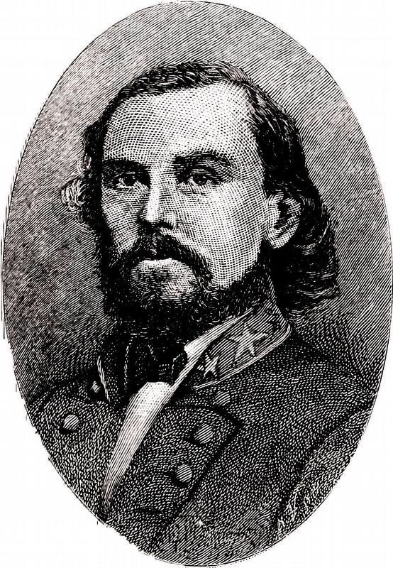
— Major General Thomas C. Hindman —
Major General Thomas C. Hindman.
September 20, 1863.
Anderson's Brigade -- Brigadier General Patton Anderson.
Deas' Brigade -- Brigadier General Zach C. Deas.
Manigault's Brigade -- Brigadier General Arthur M. Manigault.
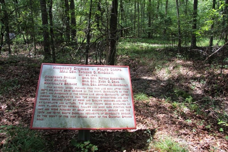
This Division moved forward from this line soon after 11 a.m. September 20 having Deas' Brigade on the right, Manigault's on the left, and Anderson's in the second line behind Manigault's. After passing the LaFayette road the Division encountered and was sharply engaged, first by Heg's and Carlin's Brigades, and, next, by Laiboldt's and Lytle's. The Union troops being enveloped on both flanks, after several rallies and much hard fighting, gave way, and were pursued by Deas' and Anderson's Brigade and the 10th and 19th South Carolina Regiments of Manigault's Brigade, to the crest of the high ground west of the Crawfish Springs road.
Erected 1890 by the Chickamauga and Chattanooga National Military Park Commission. (Marker Number MT-1094A.)
Topics. This historical marker is listed in these topic lists: Parks & Recreational Areas • War, US Civil. A significant historical date for this entry is September 20, 1863.
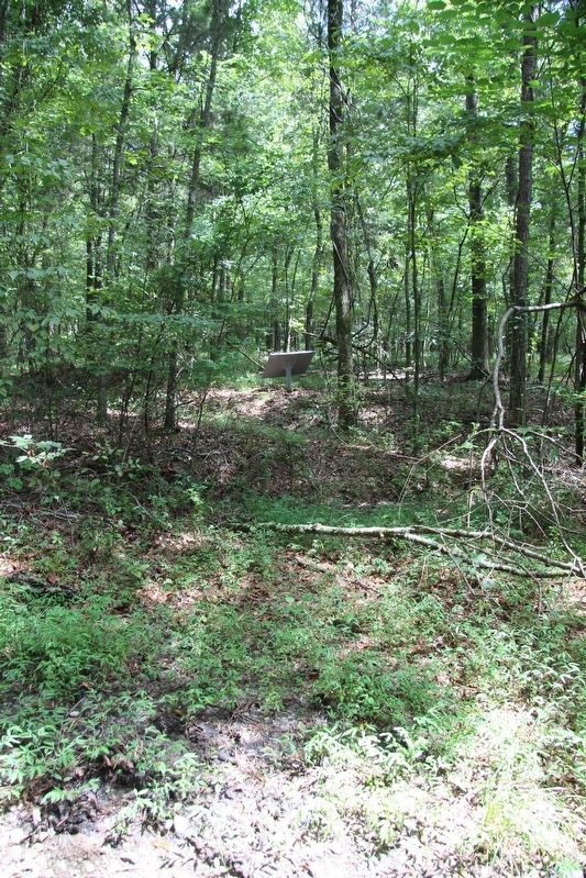
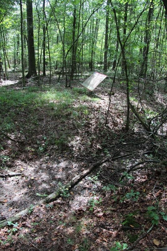
Location. 34° 54.603′ N, 85° 15.343′ W. Marker is near Fort Oglethorpe, Georgia, in Catoosa County. Marker can be reached from LaFayette Road south of Brotherton Road, on the left when traveling south. This marker is located in the National Military Park that preserves the site of the Chickamauga Battlefield, and is situated in the woods east of the LaFayette Road, along one of the park's primary east-to-west hiking and horse-back riding trails. Touch for map. Marker is in this post office area: Fort Oglethorpe GA 30742, United States of America. Touch for directions.
Other nearby markers. At least 8 other markers are within walking distance of this marker. Anderson's Brigade (within shouting distance of this marker); Manigault's Brigade (approx. 0.2 miles away); Robertson's Brigade (approx. 0.2 miles away); Deas' Brigade (approx. 0.2 miles away); 125th Ohio Infantry (approx. ¼ mile away); Law's Brigade (approx. ¼ mile away); 68th Indiana Infantry (approx. ¼ mile away); Johnson's Brigade (approx. ¼ mile away). Touch for a list and map of all markers in Fort Oglethorpe.
More about this marker. I used the "Chickamauga Battlefield" map, that I purchased at the Chickamauga and Chattanooga National Military Park, Visitor Center, to determine both the marker number for this tablet and the tablet's location in relation to the rest of the park's monuments, markers, and tablets. According to the map it provides the, "numerical listing of all monuments, markers, and tablets on the
Chickamauga Battlefield (using the Chick-Chatt NMP Monument Numbering System).”
Credits. This page was last revised on September 16, 2020. It was originally submitted on August 23, 2019, by Dale K. Benington of Toledo, Ohio. This page has been viewed 191 times since then and 7 times this year. Photos: 1, 2, 3, 4. submitted on August 23, 2019, by Dale K. Benington of Toledo, Ohio. 5. submitted on September 11, 2020, by Allen C. Browne of Silver Spring, Maryland.
