Mackinaw City in Cheboygan County, Michigan — The American Midwest (Great Lakes)
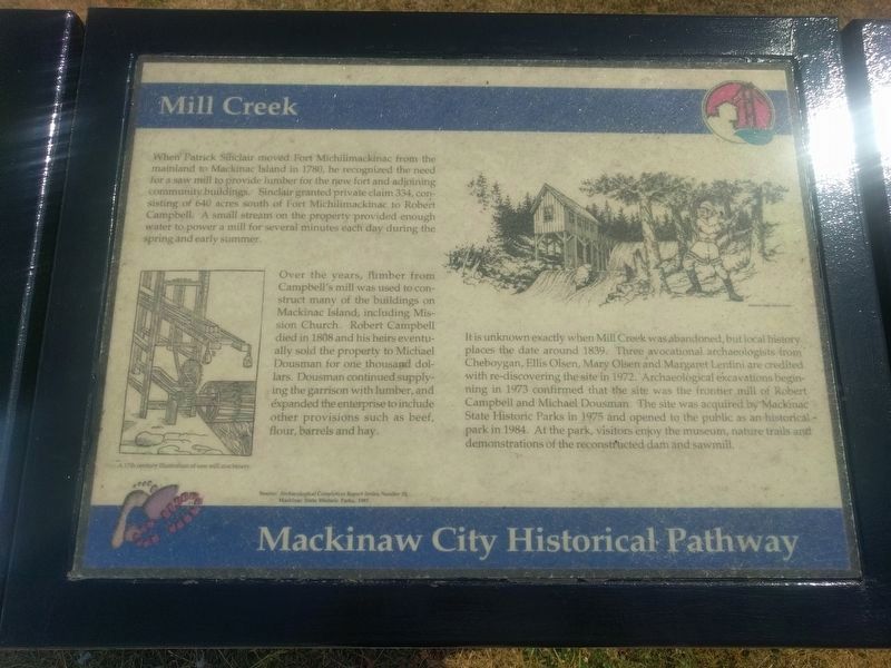
Mill Creek
Mackinaw City Historical Pathway
When Patrick Sinclair moved Fort Michilimackinac from the mainland to Mackinac Island in 1780, he recognized the need for a saw mill to provide lumber for the new fort and adjoining community buildings. Sinclair granted private claim 334, consisting of 640 acres south of Fort Michilimackinac to Robert Campbell. A small stream on the property provided enough water to power a mill for several minutes each day during the spring and early summer.
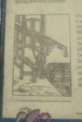
Over the years, lumber from Campbell's mill was used to construct many of the buildings on Mackinac Island, including Mission Church. Robert Campbell died in 1808 and his heirs eventually sold the property to Michael Dousman for one thousand dollars. Dousman continued supplying the garrison with lumber, and expanded the enterprise to include other provisions such as beef, flour, barrels and hay.
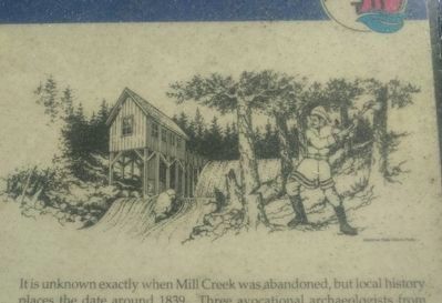
It is unknown exactly when Mill Creek was abandoned, but local history places the date around 1839. Three avocational archaeologists from Cheboygan, Ellis Olsen, Mary Olsen and Margaret Lentini are credited with re-discovering the site in 1972. Archaeological excavations beginning in 1973 confirmed that the site was the frontier mill of Robert Campbell and Michael Dousman. The site was acquired by Mackinac State Historic Parks in 1975 and opened to the public as an historical park in 1984. At the park, visitors enjoy the museum, nature trails and demonstrations of the reconstructed dam and sawmill.
Source: Archaeological Completion Report Series, Number 10, Mackinac State Historic Parks, 1985 (Marker Number 6.)
Topics. This historical marker is listed in these topic lists: Colonial Era • Forts and Castles • Industry & Commerce • Settlements & Settlers. A significant historical year for this entry is 1780.
Location. 45° 46.675′ N, 84° 43.578′ W. Marker is in Mackinaw City, Michigan, in Cheboygan County. Marker is at the intersection of South Huron Avenue and Railroad Avenue, on the right when traveling north on South Huron Avenue. Marker is at the driveway to Star Line Ferry parking. Touch for map. Marker is in this post office area: Mackinaw City MI 49701, United States of America. Touch for directions.
Other nearby markers. At least 8 other markers are within walking distance of this marker. Auto Ferries (within shouting distance of this marker); Ice Harvesting (within shouting distance of this marker); Edgar Conkling 1812-1881 (about 300 feet away, measured in a direct line); Michigan State Ferry System / Michigan State Car Ferries (about 300 feet away); The Meneely Bell (about 400 feet away); Commercial Fishing (about 500 feet away); British Colonial Shipbuilding Yard, 1761 - 1781 (about 600 feet away); Mackinaw City Railroad Dock / USCG Cutter Mackinaw WAGB 83 (about 600 feet away). Touch for a list and map of all markers in Mackinaw City.
Also see . . .
1. 06. Mill Creek. Web page with audio tour file. (Submitted on August 23, 2019, by Joel Seewald of Madison Heights, Michigan.)
2. Historic Mill Creek Discovery Park. Information about Historic Mill Creek Discovery Park on the Mackinac State Historic Parks website. (Submitted on August 23, 2019, by Joel Seewald of Madison Heights, Michigan.)
Credits. This page was last revised on August 26, 2019. It was originally submitted on August 23, 2019, by Joel Seewald of Madison Heights, Michigan. This page has been viewed 186 times since then and 8 times this year. Photos: 1, 2, 3, 4. submitted on August 23, 2019, by Joel Seewald of Madison Heights, Michigan.


