Havre de Grace in Harford County, Maryland — The American Northeast (Mid-Atlantic)
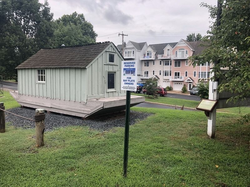
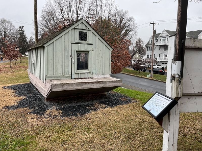
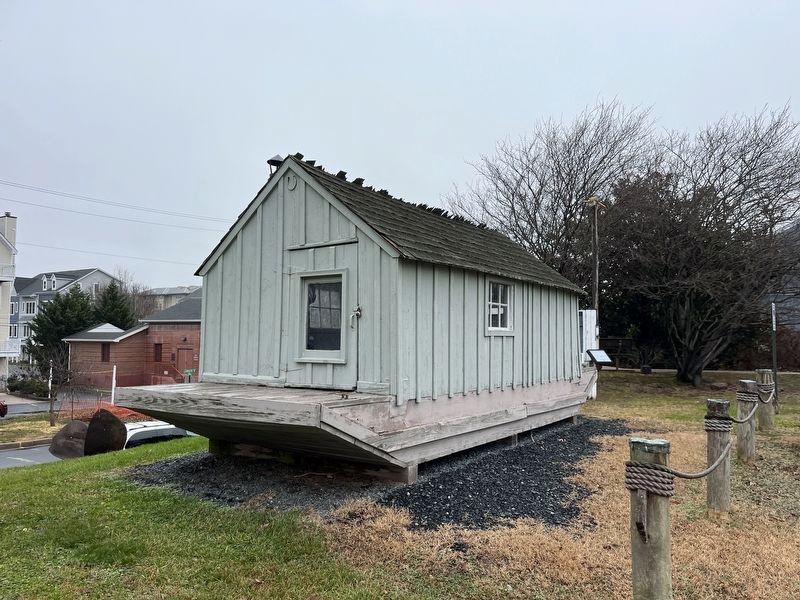
The Boyer Family Shad Shack
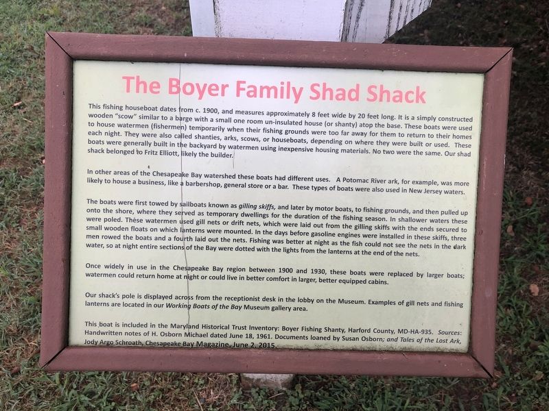
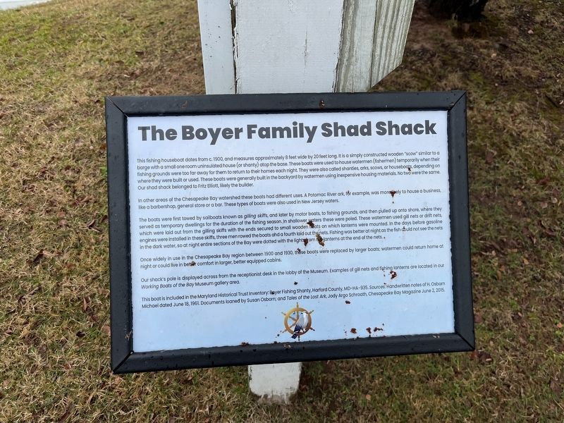
In other areas of the Chesapeake Bay watershed these boats had different uses. A Potomac River ark, for example, was more likely to house a business, like a barbershop, general store or a bar. These types of boats were also used in New Jersey waters.
The boats were first towed by sailboats known as gilling skiffs, and later by motor boats, to fishing grounds, and then pulled up onto the shore, where they served as temporary dwellings for the duration of the fishing season. In shallower waters these were poled. These watermen used gill nets or drift nets, which were laid out from the gilling skiffs with the ends secured to small wooden floats on which lanterns were mounted. In the days before gasoline engines were installed in these skiffs, three men rowed the boats and a fourth laid out the nets. Fishing was better at night as the fish could not see the nets in the dark water, so at night entire sections of the Bay were dotted with the lights from the lanterns at the end of the nets.
Once widely in use in the Chesapeake Bay region between 1900 and 1930, these boats were replaced by larger boats; watermen could return home at night or could live in better comfort in larger, better equipped cabins.
Our shack's pole is displayed across from the receptionist desk in the lobby on the Museum. Examples of gill nets and fishing lanterns are located in our Working Boats of the Bay Museum gallery area.
This boat is included in the Maryland Historical Trust Invenory: Boyer Fishing Shanty, Harford County, MD-HA-935. Sources: Handwritten notes of H. Osborn Michael dated June 18, 1961. Documents loaned by Susan Osborn; and Tales of the Lost Ark, Jody Argo Schroath, Chesapeake Bay Magazine, June 2, 2015.
Erected by The Havre de Grace Maritime Museum.
Topics. This historical marker is listed in this topic list: Waterways & Vessels. A significant historical date for this entry is June 18, 1961.
Location. 39° 32.43′ N, 76° 5.203′ W. Marker is in Havre de Grace, Maryland, in Harford County. Marker can be reached from Lafayette Street just east of Pink Lane, on the right when traveling east. Touch for map. Marker is at or near this postal address: 213 Lafayette Street, Havre de Grace MD 21078, United States of America. Touch for directions.
Other nearby markers. At least 8 other markers are within walking distance of this marker. Pensell Propeller (a few steps from this marker); This Wye Oak (a few steps from this marker); Aids to Navigation Fog Bell (within shouting distance of this marker); Anchors (within shouting distance of this marker); Nun Buoy (within shouting distance of this marker); A Perfect Location (within shouting distance of this marker); On September 9, 1976 – (about 300 feet away, measured in a direct line); Birds by the Bay (about 300 feet away). Touch for a list and map of all markers in Havre de Grace.
Credits. This page was last revised on January 11, 2024. It was originally submitted on August 23, 2019, by Devry Becker Jones of Washington, District of Columbia. This page has been viewed 271 times since then and 20 times this year. Photos: 1. submitted on August 23, 2019, by Devry Becker Jones of Washington, District of Columbia. 2. submitted on December 27, 2023, by Adam Margolis of Mission Viejo, California. 3. submitted on August 23, 2019, by Devry Becker Jones of Washington, District of Columbia. 4, 5. submitted on December 27, 2023, by Adam Margolis of Mission Viejo, California.
