Near Stevensville in Queen Anne's County, Maryland — The American Northeast (Mid-Atlantic)
Kent Island
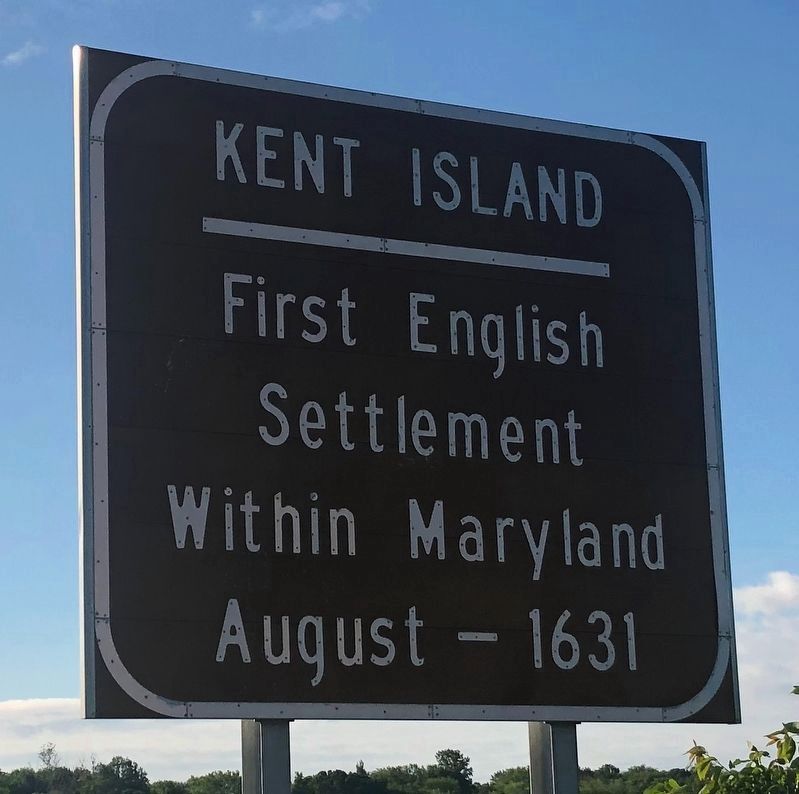
Settlement
Within Maryland
August - 1631
Topics. This historical marker is listed in these topic lists: Colonial Era • Settlements & Settlers. A significant historical month for this entry is August 1631.
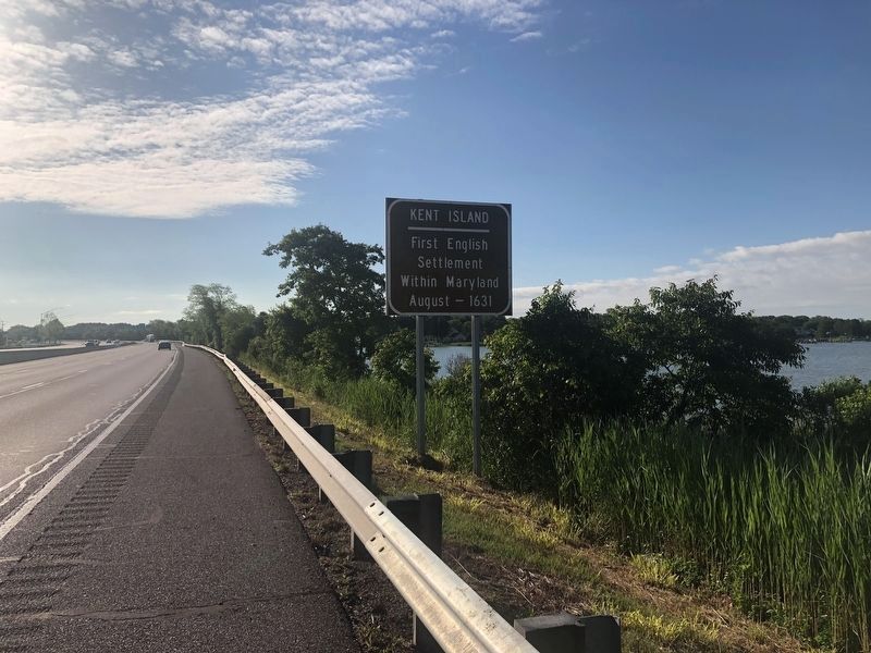
Location. 38° 58.499′ N, 76° 18.306′ W. Marker is near Stevensville, Maryland, in Queen Anne's County. It is on Blue Star Memorial Highway (U.S. 50) east of Thompson Creek Road, on the right when traveling east. Touch for map. Marker is in this post office area: Stevensville MD 21666, United States of America. Touch for directions.

Regionally, this marker is on the Eastern Shore. It is also in the American Mid-Atlantic, on the Delmarva Peninsula, in the Tidewater, in the Chesapeake Bay Region, and on the Eastern Seaboard. Globally, it is in the North Atlantic Region, North America, the Western Hemisphere, the Western World, and the Anglosphere. Historically, it finds itself in what was once one of the original Thirteen Colonies and also the Antebellum South.
Other nearby markers. At least 8 other markers are within walking distance of this marker: Veterans Memorial (about 400 feet away, measured
this page online
Credits. This page was last revised on June 1, 2021. It was originally submitted on August 24, 2019, by Devry Becker Jones of Washington, District of Columbia. This page has been viewed 618 times since then and 47 times this year. Photos: 1, 2. submitted on May 31, 2021, by Devry Becker Jones of Washington, District of Columbia.
