Rock Hall in Kent County, Maryland — The American Northeast (Mid-Atlantic)
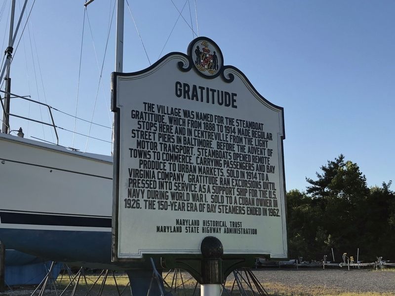
Gratitude
Erected by Maryland Historical Trust, Maryland State Highway Administration.
Topics. This historical marker is listed in these topic lists: Settlements & Settlers • War, World I • Waterways & Vessels. A significant historical year for this entry is 1888.
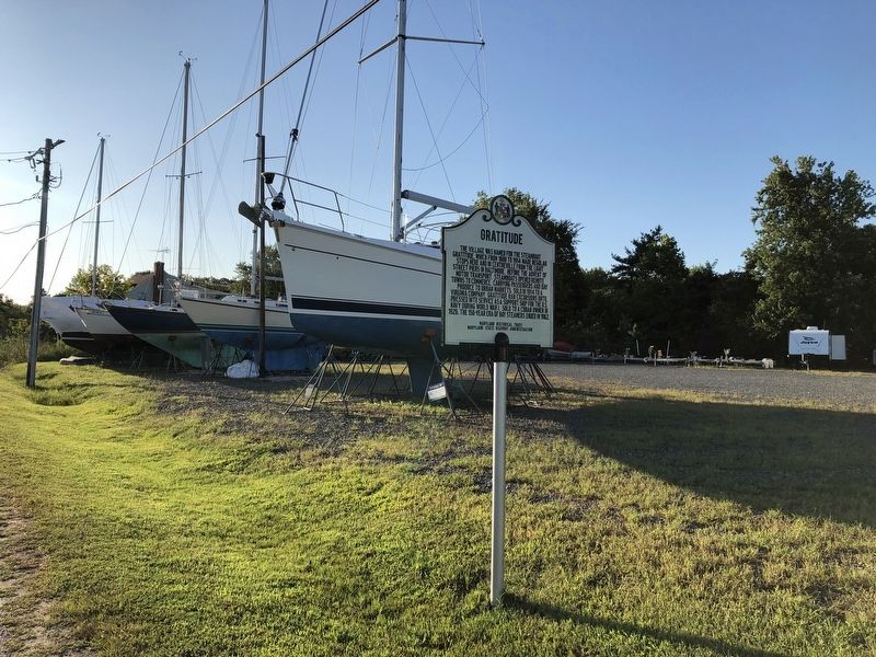
Location. 39° 8.445′ N, 76° 15.56′ W. Marker is in Rock Hall, Maryland, in Kent County. Marker is on Rock Hall Avenue just east of Beach Road, on the right when traveling east. Touch for map. Marker is at or near this postal address: 5913 Lawton Avenue, Rock Hall MD 21661, United States of America. Touch for directions.
Other nearby markers. At least 8 other markers are within 2 miles of this marker, measured as the crow flies. A Diversion (approx. 0.4 miles away); Right Place, Right Time (approx. 0.7 miles away); Attracted By Bounty (approx. 0.7 miles away); Bounty Below (approx. ¾ mile away); Rock Hall Landing (approx. one mile away); Captain Lambert Wickes (approx. 1.3 miles away); Stanley B. Vansant Memorial (approx. 1.3 miles away); Rock Hall, Maryland (approx. 1.3 miles away). Touch for a list and map of all markers in Rock Hall.
Credits. This page was last revised on June 7, 2020. It was originally submitted on August 24, 2019, by Devry Becker Jones of Washington, District of Columbia. This page has been viewed 236 times since then and 26 times this year. Photos: 1, 2. submitted on August 24, 2019, by Devry Becker Jones of Washington, District of Columbia.

