Centreville in Queen Anne's County, Maryland — The American Northeast (Mid-Atlantic)
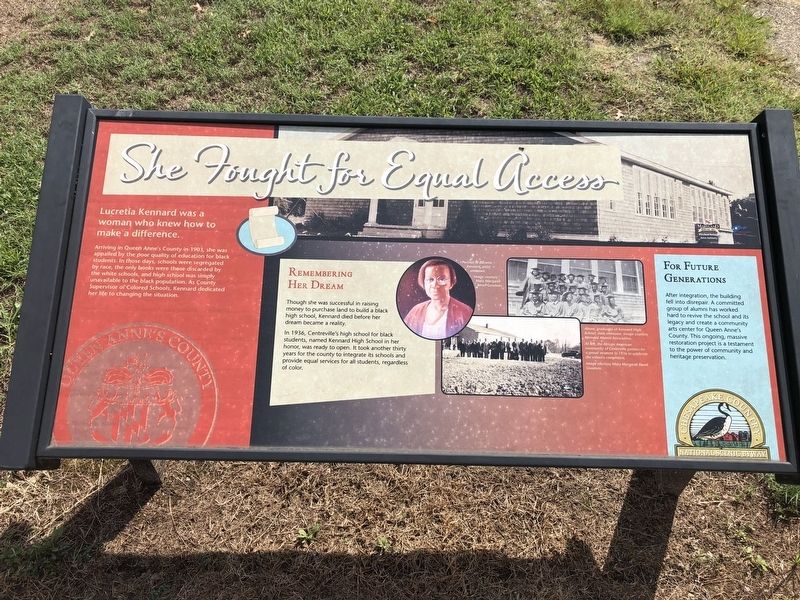
She Fought for Equal Access
Lucretia Kennard was a woman who knew how to make a difference.
Arriving in Queen Anne's County in 1903, she was appalled by the poor quality of education for black students. In those days, schools were segregated by race, the only books were those discarded by the white schools, and high school was simply unavailable to the black population. As County Supervisor of Colored Schools, Kennard dedicated her life to changing the situation.
Remembering Her Dream
Though she was successful in raising money to purchase land to build a black high school, Kennard died before her dream became a reality.
In 1936, Centreville's high school for black students, named Kennard High School in her honor, was ready to open. It took another thirty years for the county to integrate its schools and provide equal services for all students, regardless of color.
For Future Generations
After integration, the building fell into disrepair. A committed group of alumni has worked hard to create a community arts center for Queen Anne's County. This ongoing, massive restoration project is a testament to the power of community and heritage preservation.
Erected by Chesapeake Country National Scenic Byway.
Topics. This historical marker is listed in these topic lists: African Americans • Civil Rights • Education • Women. A significant historical year for this entry is 1903.
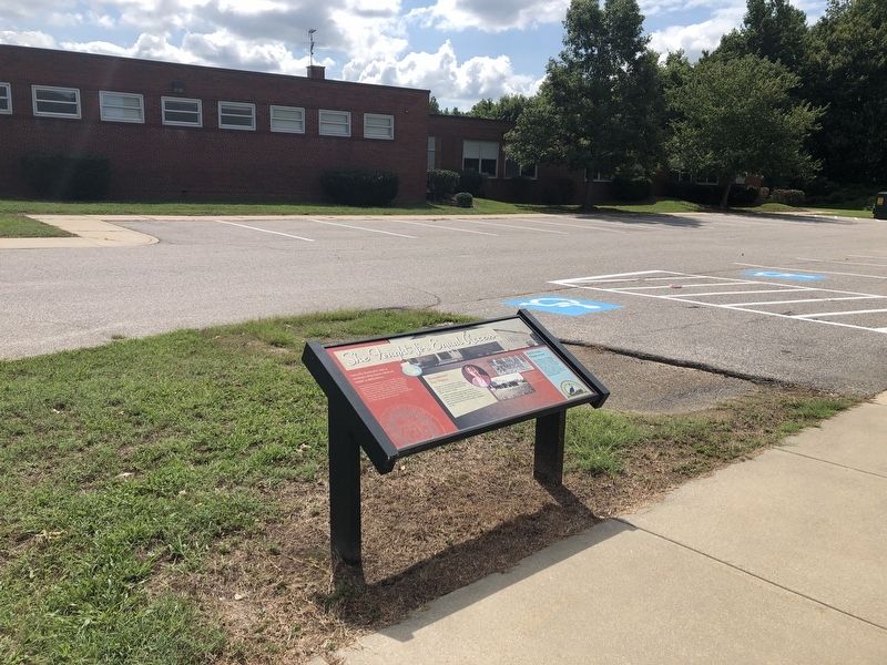
Location. 39° 2.248′ N, 76° 3.889′ W. Marker is in Centreville, Maryland, in Queen Anne's County. Marker can be reached from Little Kidwell Avenue just east of Future Road, on the right when traveling east. Touch for map. Marker is at or near this postal address: 410 Little Kidwell Avenue, Centreville MD 21617, United States of America. Touch for directions.
Other nearby markers. At least 8 other markers are within walking distance of this marker. The Railroad as the Backbone of Centreville's 20th Century Commerce (approx. ¼ mile away); Female Seminary (approx. 0.4 miles away); The Railroad as Community Connector to the World (approx. 0.4 miles away); Connecting Centreville to the Worlds of Commerce Beyond the Eastern Shore (approx. 0.4 miles away); Site of Goldsborough House (approx. 0.4 miles away); St. Paul's Episcopal Church (approx. 0.4 miles away); Tucker House (approx. 0.4 miles away); Centrally Located (approx. 0.4 miles away). Touch for a list and map of all markers in Centreville.
Credits. This page was last revised on February 14, 2022. It was originally submitted on August 25, 2019, by Devry Becker Jones of Washington, District of Columbia. This page has been viewed 116 times since then and 14 times this year. Photos: 1, 2. submitted on August 25, 2019, by Devry Becker Jones of Washington, District of Columbia.

