St. Michaels in Talbot County, Maryland — The American Northeast (Mid-Atlantic)
Fishing Shanty / Ark
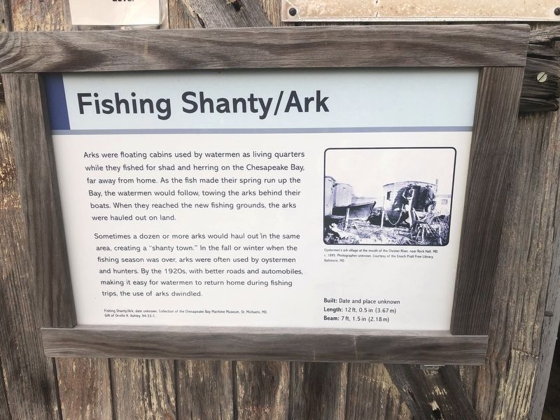
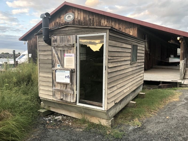
Sometimes a dozen or more arks would haul out in the same area, creating a "shanty town." In the fall or winter when the fishing season was over, arks were often used by oystermen and hunters. By the 1920s, with better roads and automobiles, making it easy for watermen to return home during fishing trips, the use of arks dwindled.
Built: Date and place unknown
Length: 12 ft, 0.5 in (3.67 m)
Beam: 7 ft, 1.5 in (2.18 m)
[Caption:]
Oystermen's ark village at the mouth of the Chester River, near Rock Hall, MD, c. 1895. Photographer unknown. Courtesy of the Enoch Pratt Free Library, Baltimore, MD.
Erected by Chesapeake Bay Maritime Museum.
Topics. This historical marker is listed in these topic lists: Animals • Industry & Commerce • Waterways & Vessels. A significant historical year for this entry is 1895.
Location. 38° 47.274′ N, 76° 13.206′ W. Marker is in St. Michaels, Maryland, in Talbot County. Marker can be reached from Mill Street east of Burns Street, on the left when traveling east. Touch for map. Marker is at or near this postal address: 213 North Talbot Street, Saint Michaels MD 21663, United States of America. Touch for directions.
Other nearby markers. At least 8 other markers are within walking distance of this marker. Kennedy M. Fitzgerald (here, next to this marker); St. Michaels Packing Company Warehouse (a few steps from this marker); Chesapeake Bay Small Craft (a few steps from this marker); Smith Island Crabbing Skiff (a few steps from this marker); Winnie Estelle (a few steps from this marker); Spat, Miniature Skipjack (within shouting distance of this marker); From Shipwrecked Puppies to Iron Dogs (within shouting distance of this marker); Sharptown Barge (within shouting distance of this marker). Touch for a list and map of all markers in St. Michaels.
Credits. This page was last revised on December 28, 2019. It was originally submitted on August 26, 2019, by Devry Becker Jones of Washington, District of Columbia. This page has been viewed 155 times since then and 16 times this year. Photos: 1, 2. submitted on August 26, 2019, by Devry Becker Jones of Washington, District of Columbia.

